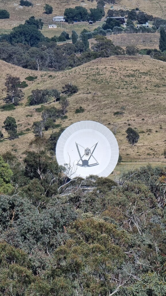
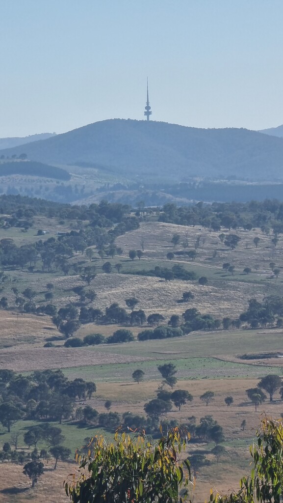
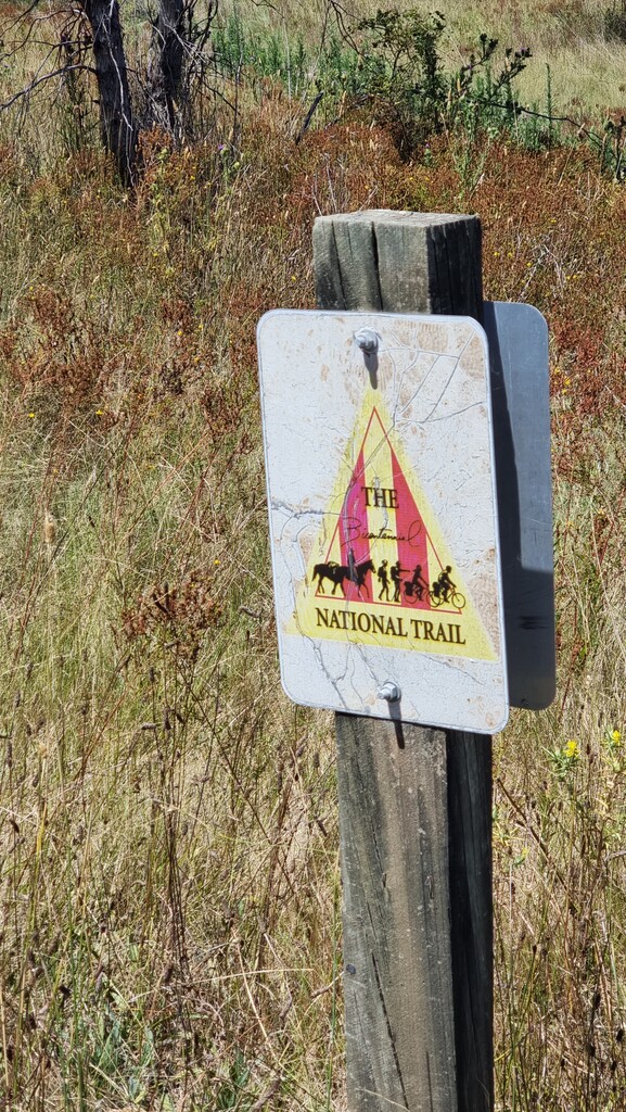
The Biggest Badest Bestest Bits of Bullen - or the "B5" is exactly as its namesake suggests. An all encompassing tour of the Bullen Range Nature Reserve, situated a short drive to the west of Canberra. It comprises two main sections: the first, an up-and-over the full length of Bullen Range, heading south. This gives stunning views across to Canberra and the Cotter Dam as you ascend to the course's high point. Glimpses of the dishes used at Canberra's Deep Space Tracking Station are also possible through the trees. The second part, sees you descend off of the range, and loop back northwards along the mighty Murrumbidgee River. This part affords great views, such as the Red Rocks Gorge you'll pass enroute. Parts of this section also overlap the Bicentennial National Trail (5,000+km along the east coast of Australia; see https://nationaltrail.com.au/discover-the-bnt/).
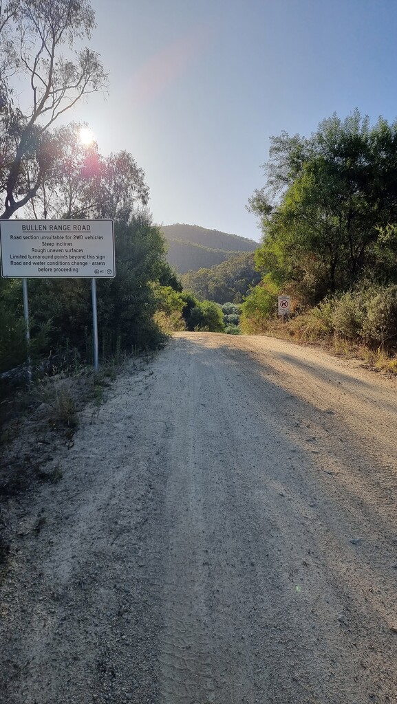
The start and finish is conveniently located at the Cotter Avenue carpark. There's a phone booth at the entrance that marks the start/stop point. From there, you'll run the green space, picking up Bullen Track. This crosses over Paddy's River a short distance in, and is where you'll pickup the main Bullen Range Road. From here, enjoy the roller coaster of hard packed firetrail, with steep ascents and descents as you traverse the range.
Eventually, you'll exit the reserve on a trail that ends at Tidbinbilla Road. From here, run along the road, turning left into Point Hut Road. Crossing over at Point Hut Crossing, turn left to pickup the River Discovery Trail. This point is a great place to reload with water from the park taps available. Enjoy river views as the trail meanders closer and then further away from the river as you make your way back north to Kambah Pool Road - where this is a toilet available.
From there, cross over the road and pickup the Kambah to Cotter Walking Track. This last ~15km is less traversed than the trails you've just covered. Watch out as the trail does become faint in places. Keep a look out for thin, metal distance markers which are located about every 200m to keep you on the trail. There is long grass in sections, although some parts of the trail closer to Cotter are maintained better.
Eventually, you'll see the road bridge back over the river. Approaching from the right up the gravel ramp, cross carefully as this is a one-lane bridge shared with cars. Turning left, follow the road until the entrance to the Cotter Campground. Follow the road, then walking trail through until the main green space area of Cotter Bend. If you keep bearing right, cross over the roads and you'll see the foot bridge leading you back to the first green space you ran through on the way out. Finish back opposite the phone booth.