Route: Bridge-2-Bridge: Bluewater - Ambassador (ON,Canada)

Submitted by Case24 on Fri, 08/20/2021 - 05:46am
Location
Ontario, CA
Distance
103 mi
Vertical Gain
0 ft
Description

weULTRA's Bridge-2-Bridge route is 103 miles long and starts under the international crossing at the BlueWater Bridge in Sarnia, Ontario connecting Canada and the United States. This is where the mouth of the St Clair River meets Lake Huron.

The route points south and hugs the Canadian side of the St Clair River down to Port Lambton. Then it curls around Walpole Island before heading east through Wallaceburg. Southbound again, the route travels thru Mitchell's Bay and Pain Court, before taking the turn west towards the final destination. Alongside the Thames River, across Jeanettes Creek and over to Lake St Clair brings you to Stoney Point.

The journey then continues along the southern shores of Lake St Clair, through Belle River to Tecumseh and the start of the Detroit River. Windsor's beautiful Riverfront Trail welcomes you with sights of Peche Island, Belle Isle and the Detroit skyline.

Reaching the end of the Riverfront Trail puts you under the international crossing at the Ambassador Bridge, connecting Canada and the United States again.

GPS Track
Images

Comments

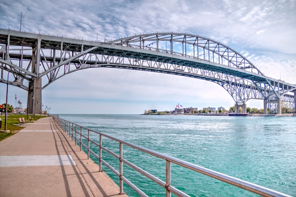
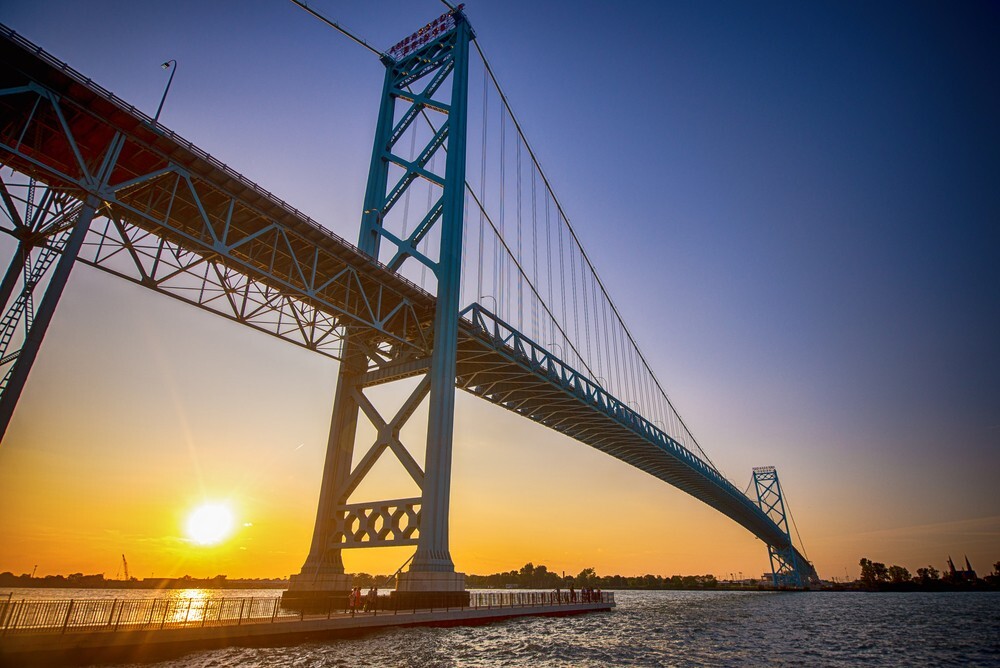
Starting Friday evening, May 13th, I will attempt a solo, self-supported FKT of the 103-mile Bridge-2-Bridge route from the BlueWater Bridge in Sarnia, Ontario to the Ambassador Bridge in Windsor, Ontario. This is a route I’ve wanted to do for a few years now.