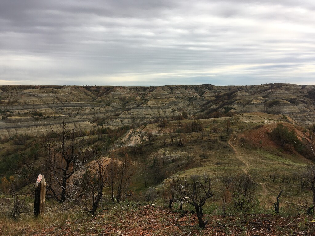
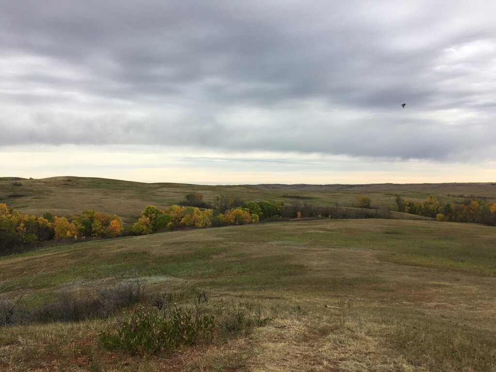
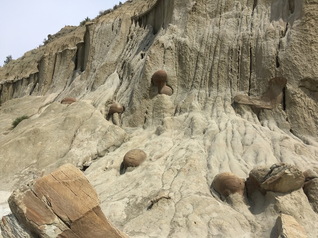
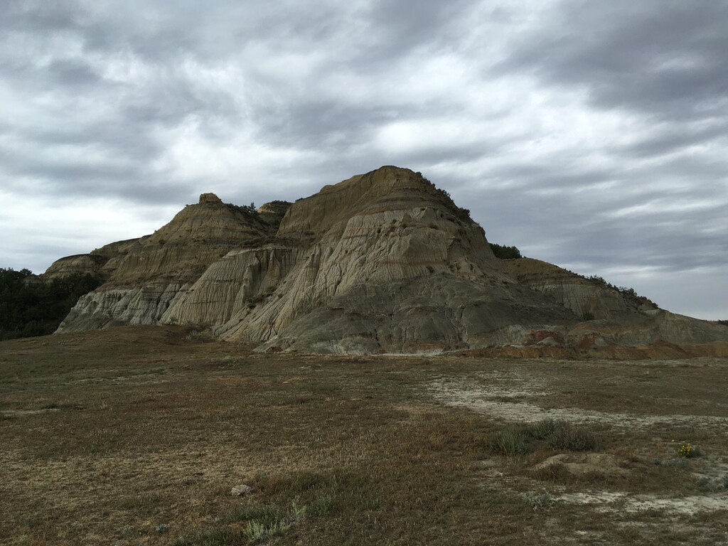
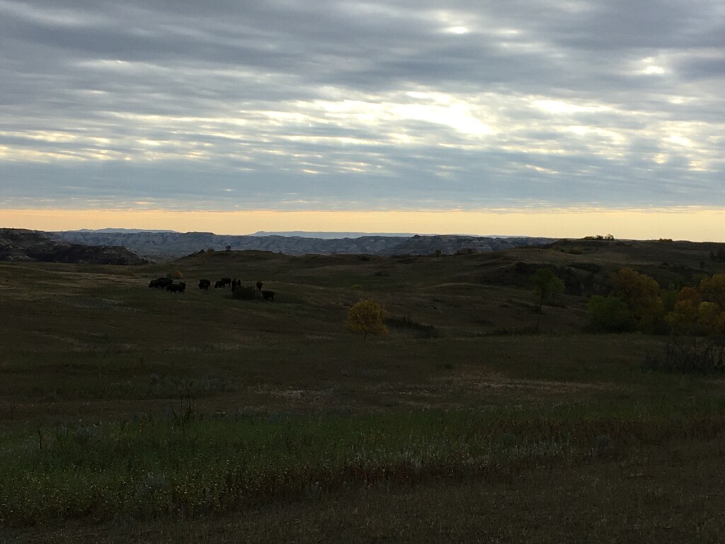
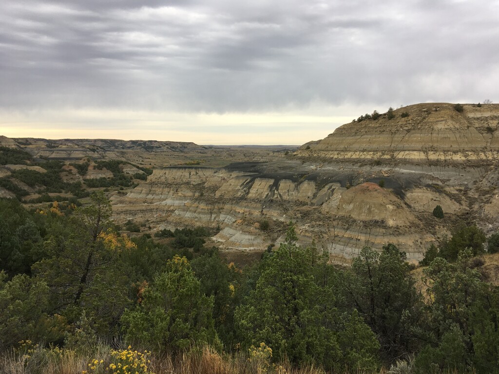
The Buckhorn Trail is a loop in the north unit of Theodore Roosevelt National Park, in western North Dakota. It is 11.3 miles with 1100 feet of gain. The trail climbs up a plateau on the north side of the loop that provides expansive views of the Badlands. You will likely see bison, prairie dogs, deer and possibly rattlesnakes. This trail also passes by the Cannonball Concretions area, an odd group of round rock formations.
As with most trails in the Badlands, the gpx file isn’t going to be perfect, especially in the section near the river. There are many social trails from buffalo and other animals that parallel each other in places. The trail is generally well marked with wooden posts spaced a few hundred yards apart. You can usually see the next one in the distance.
This trail, and the visitor center, is in the Central Time Zone, the other side of the river is on Mountain Time. The easiest access points are the Cannonball Concretions parking lot, and a small lot on the east side of the loop where the trail crosses the scenic drive. There are generally no good places to refill water. The Juniper Campground is a nice nearby place to stay.
https://www.trailrunproject.com/trail/7004223/buckhorn-trail