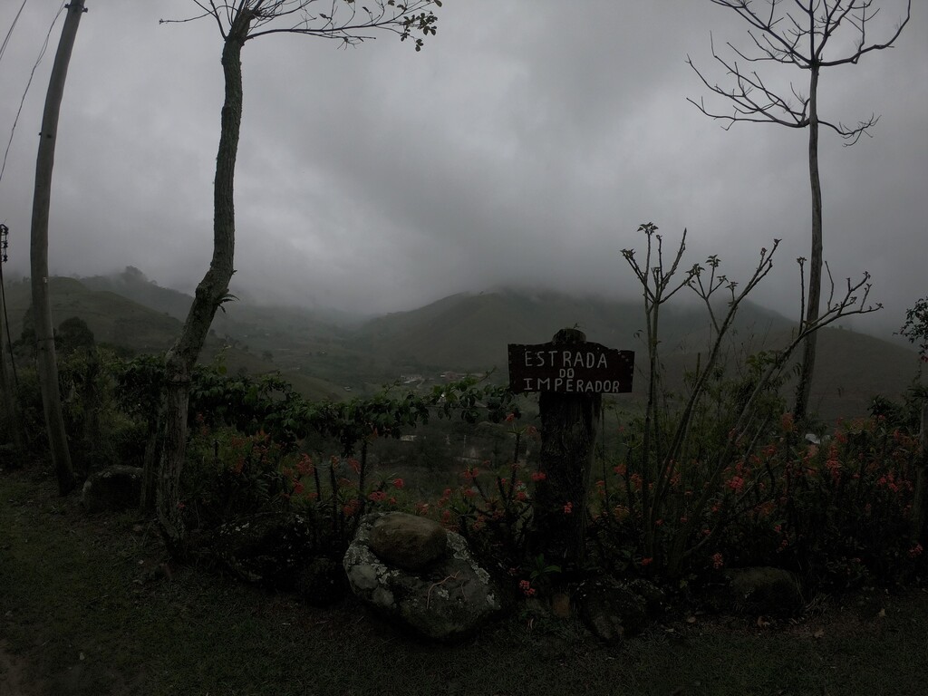
The Caminho do Imperador is a 100-mile (160.94 km) route created in the mountains of the State of Rio de Janeiro on a more comprehensive route already existing in this region. The original route is called Caminhos de Nossa Senhora, created in 2009 by the Polish priest Cristóvão Sopicki, being a pilgrimage way that connects the city of Rio de Janeiro / RJ to the Catedral Basílica Nacional Santuário de Nossa Senhora Conceição Aparecida, in the city of Aparecida / SP, which is the largest Catholic temple in Brazil and the second largest in the world, smaller only than St. Peter's Basilica in the Vatican. This way is about 450 km long, interconnecting trails and roads with a specific brand, the famous yellow arrows, which you will find indicating the opposite direction of the route of the Caminho do Imperador.
With the success of Caminhos de Nossa Senhora, 10 years later, in 2019 the pilgrimage way that connects the Catedral Basílica Nacional Santuário de Nossa Senhora Conceição Aparecida, in the city of Aparecida / SP to the Sanctuary of Christ the Redeemer, in Corcovado - Rio de Janeiro / RJ was inaugurated, the third largest sculpture of Christ in the world, elected as one of the seven wonders of the modern world. This is the Caminhos para o Cristo, which is the base of the Caminho do Imperador, following the same route and markings, with red arrows, that you will find indicating your way until you arrive at the Cathedral of Petrópolis.
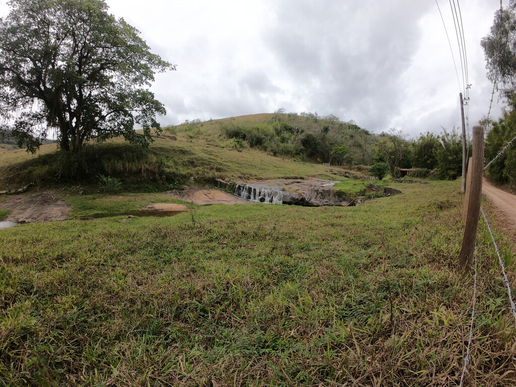
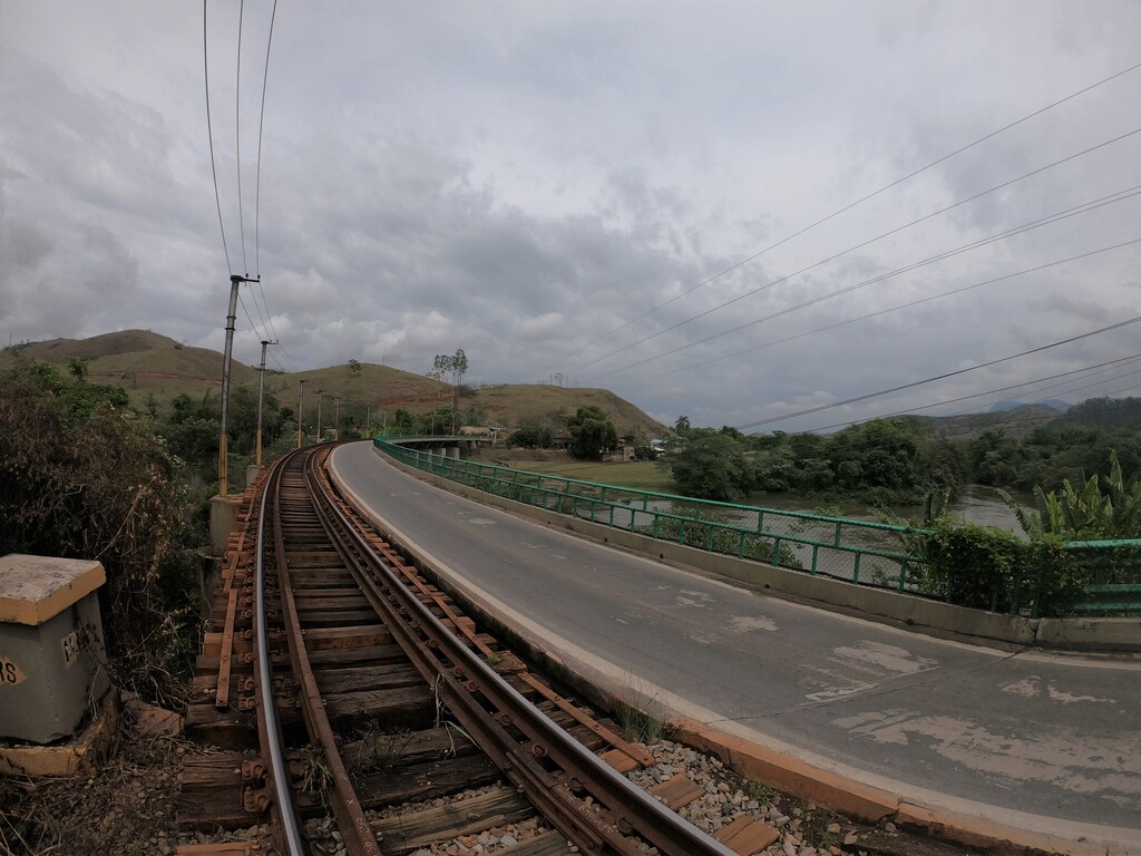
The Caminho do Imperador route begins in the rural area of Barra do Piraí, passing through Conservatória, Valença, Vassouras, Paty do Alferes and Vale das Princesas, finally arriving at the Cathedral of Petrópolis, which has the Empire in Brazil as its background. In 1808 the imperial family led by D. João VI left Portugal for Petrópolis and in 1822 D. Pedro proclaimed the independence of Brazil. The arrival at the Cathedral of Petrópolis is unique, where even D. Pedro II and Princesa Isabel are buried.
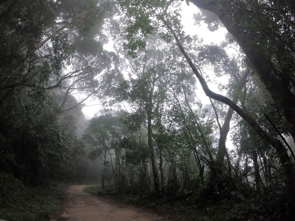
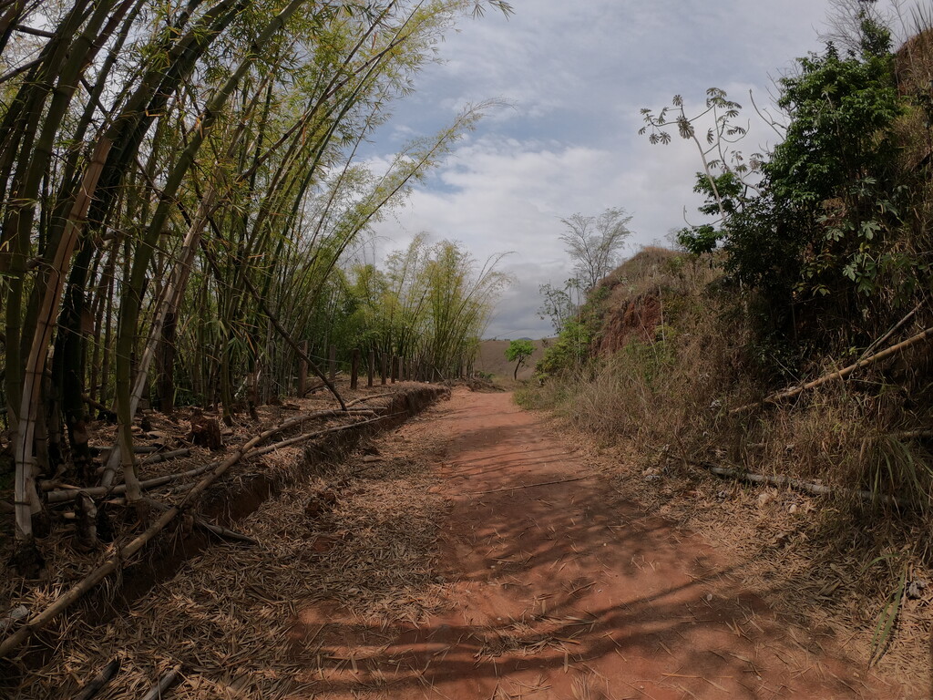
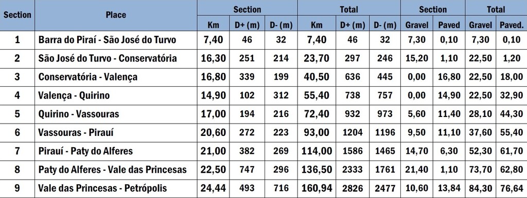
The 160.94 km route can be divided into nine sections and has a total elevation gain of 2,826m, with a terrain ratio of 84.30 km (52.4%) total on dirt roads and 76.64 km (47,6%) on stone and asphalt pavement streets.
Comments
Hi FKT community! I'll try and break this record on Dec 12th 2020 starting at 20:00 UTC. Live tracking will be available at: https://gps.stopandgo.pro/2
Wish me luck!