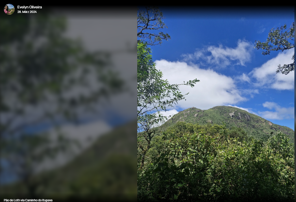
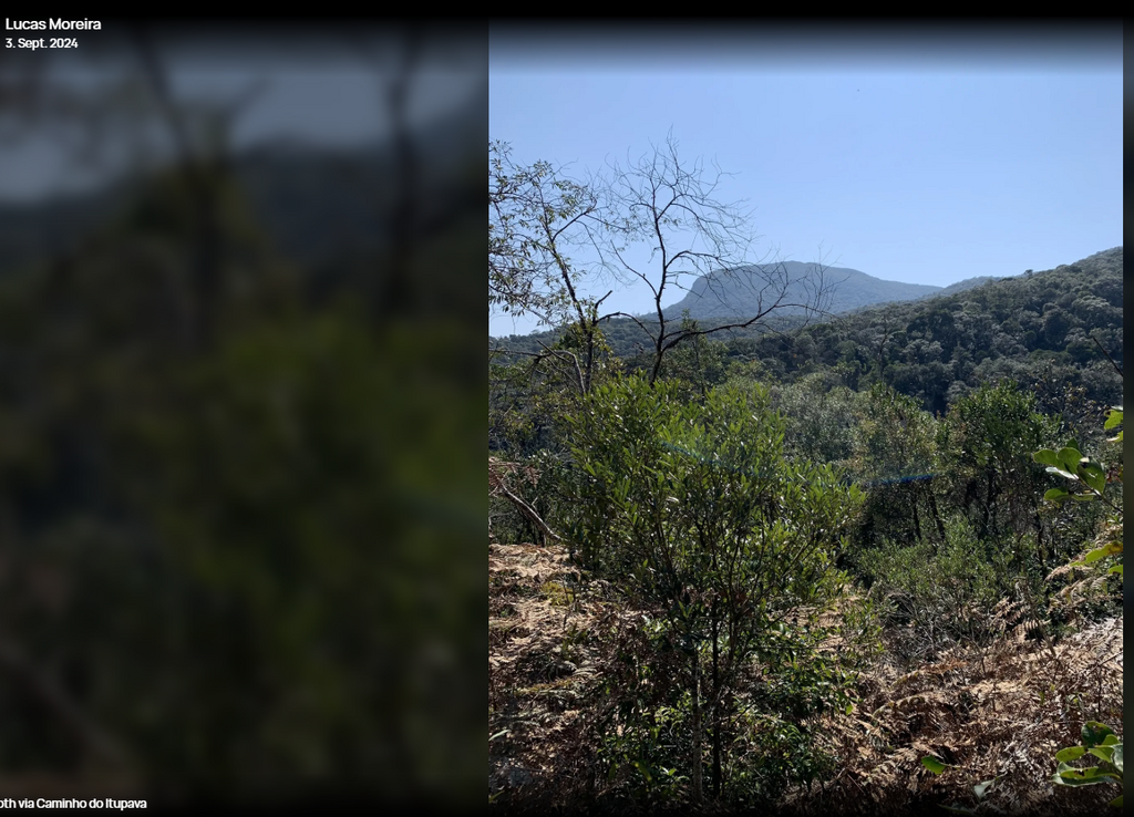
The Itupava Trail is a path that connects the coastal plain with the continental shelf and runs through the rugged Serra do Mar and it is the oldest trail in Parana state. It was initially used by indigenous groups, and later its colonial use as an access and trade route contributed to the economic development of the region in the 17th century. It was later abandoned due to the opening of the Curitiba-Paranaguá railway line in 1885.
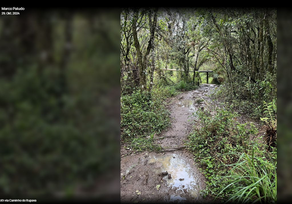
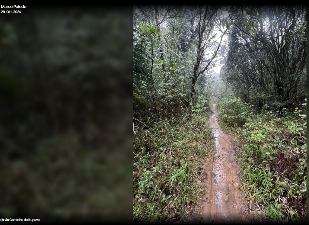
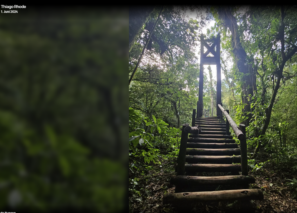
With the development of urban society, particularly in Curitiba, the trail is currently being used for recreational purposes and is one of the most traditional routes for long walks. Although the path is easy to walk, it is quite challenging due to the terrain and its length. The trail is mostly damp, sometimes wet, and the paved section is on a steep slope that is very slippery.
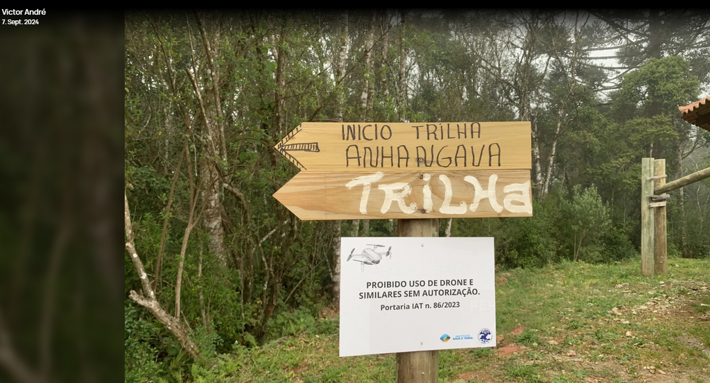
Facilities such as restrooms, shops, and mobile signal are available at the entrance of the trail in Quatro Barras, where you must register, and at the end in the Porto de Cima neighborhood in Morretes. Otherwise, the trail has no infrastructure.
Text and picture sources:
https://www.alltrails.com/de/route/brazil/parana--2/caminho-do-itupava

Comments
Wow, the Caminho do Itupava is such a fascinating trail! I’ve had the chance to hike parts of it a couple of years ago, and I have to say—it’s a mix of history, nature, and a real workout all in one. The section through the Serra do Mar is breathtaking, especially with all the native forest around. Even though the trail is technically “easy to walk,” don’t underestimate it—those damp and slippery slopes can be tricky, so good hiking shoes are a must.
I also really appreciated how you can feel the history along the route. Knowing it was used by indigenous people and later for trade in the 17th century adds a whole other layer to the experience. Quatro Barras and Porto de Cima are convenient for breaks, but once you’re in the middle sections, it’s really just you and the trail—which is part of the charm!
One tip: if you can, try to start early in the morning. The trail can get muddy after rain, and mornings usually offer the clearest paths and the nicest lighting for photos. Also, bringing some snacks and plenty of water is important since infrastructure is basically non-existent once you leave the entry points.
Would love to hear if anyone else has tried the full 28 km in a single day! It’s definitely a challenge, but worth every step.