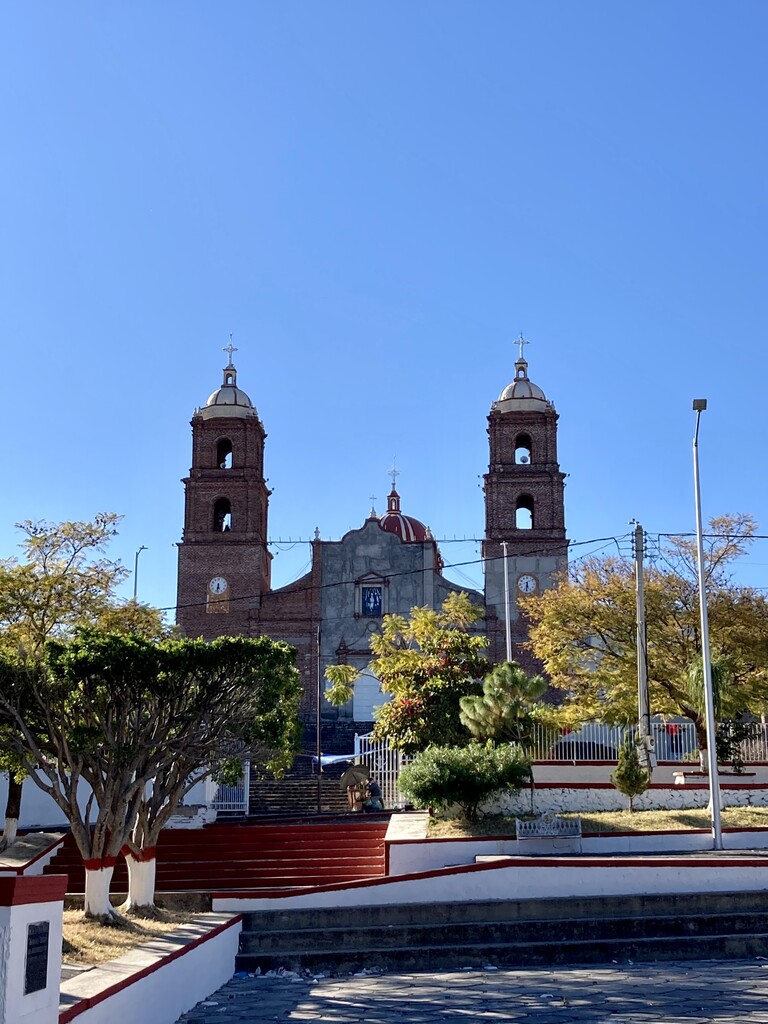
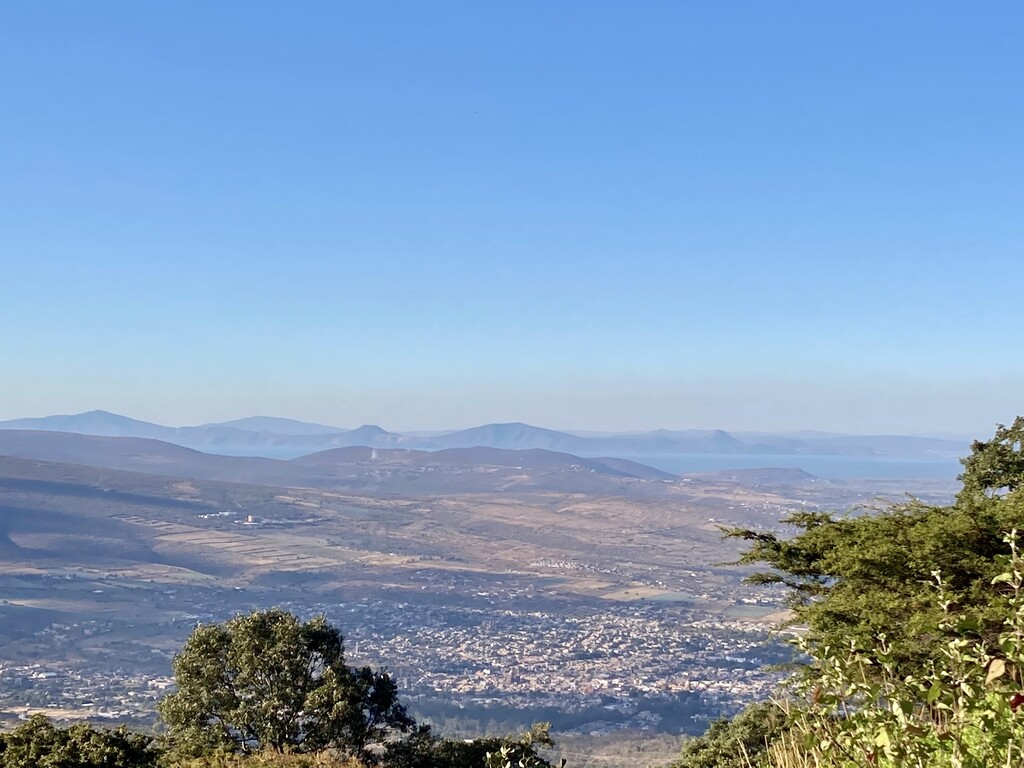
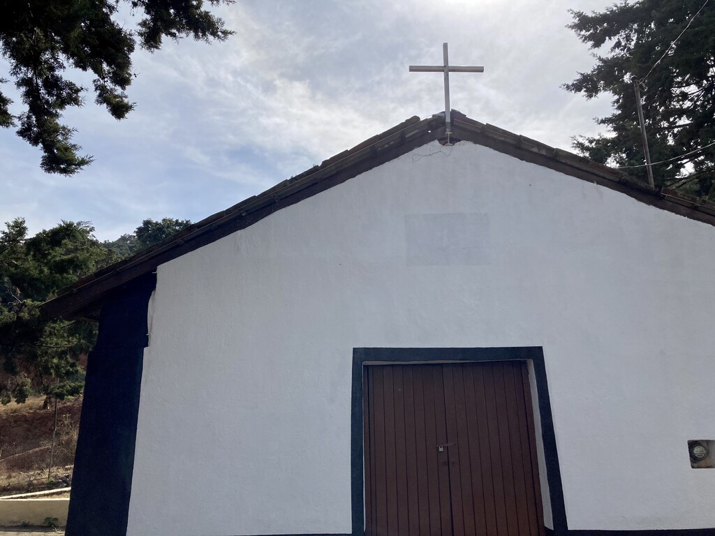
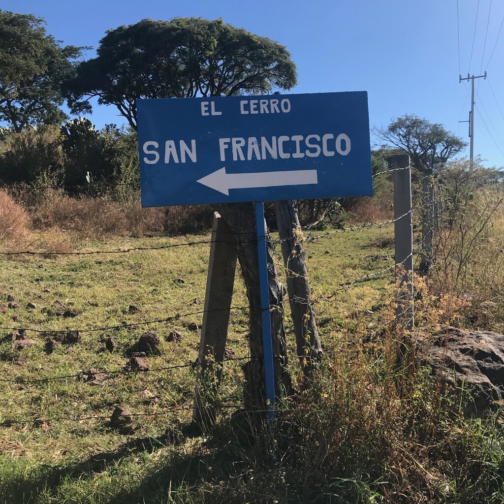
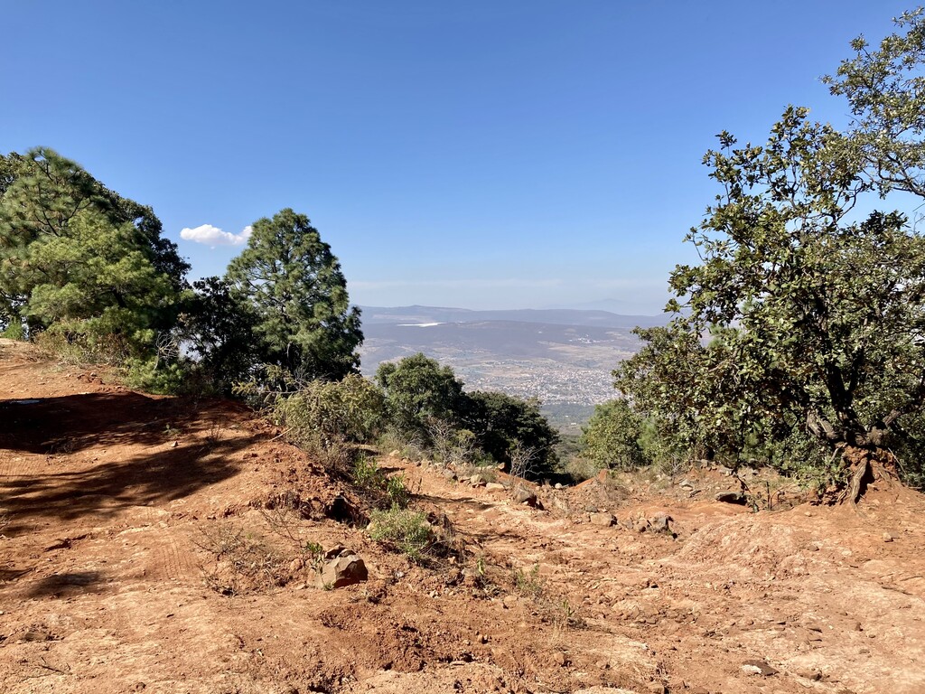
This route starts on a hill at the front of "El Santuario" Church. Within a mile you cross through the center of town on main street of Jiquilpan Michoacan and head to the forest. At the forest you pick up a trail that get's steep and rocky quickly and takes you towards the summit of "El Cerro de San Francisco." You cross four small gates, two of which you have to open and close, and two which you can just scoot by. Miles two to four and a half will be the steep climbing. Stay on the main jeep road always heading towards the visible red antenna you can see near the summit. Once you get to the antenna you only have to run another 400 meters and take one right to get to the small "Capilla de San Francisco" Church. You tag this church and then start heading back down the same way. Less than half a mile heading down you pick up a different jeep road trail that will wind for 3 miles until you get to the paved road with the sign that says "El Cerro de San Franciso." From here you run back into town from a slightly different angle and then enter the Forest one more time before crossing town through the plaza and back onto the road you started the route. You will need to climb that first hill you went down on and get back to the front of the "El Santuario" Church to complete the route. It's a beautiful and scenic route of this small mountain town that is considered a "Pueblo Magico" (magical town).