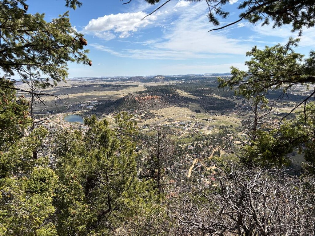
Pikes Peak is more than just Alpine tundra. Pike National Forest actually contains 3 designated Wilderness areas within it. This spans over six counties. And depending where you are at, you can get views of just about everything along the Southern Colorado Front Range from PNF land. Insert this South-to-North trek starting in Cascade, Co and ending in Palmer Lake, Co. thru PNF land.
The climb up out of Ute Pass is tough, but the views of down below and of signature Pikes Peak are amazing. Once you get on to Rampart Road it gets a bit easier. The historic dirt road built by the Civilian Conservation Corps (CCC) during the 1930s, snakes through Rampart Range. Utilizing RR, old trails, Forest service roads, PNF designated trails and good ol’ fashion bush-whacking/ trail making, you can view both sides of Rampart Range on this route.
From the reservoirs to the West to the plains that have great views of Colorado Springs, Air Force Academy, Monument, Black Forest and finally Palmer Lake. You can see it all at an average altitude of 9,000ft on this 27 mile route.
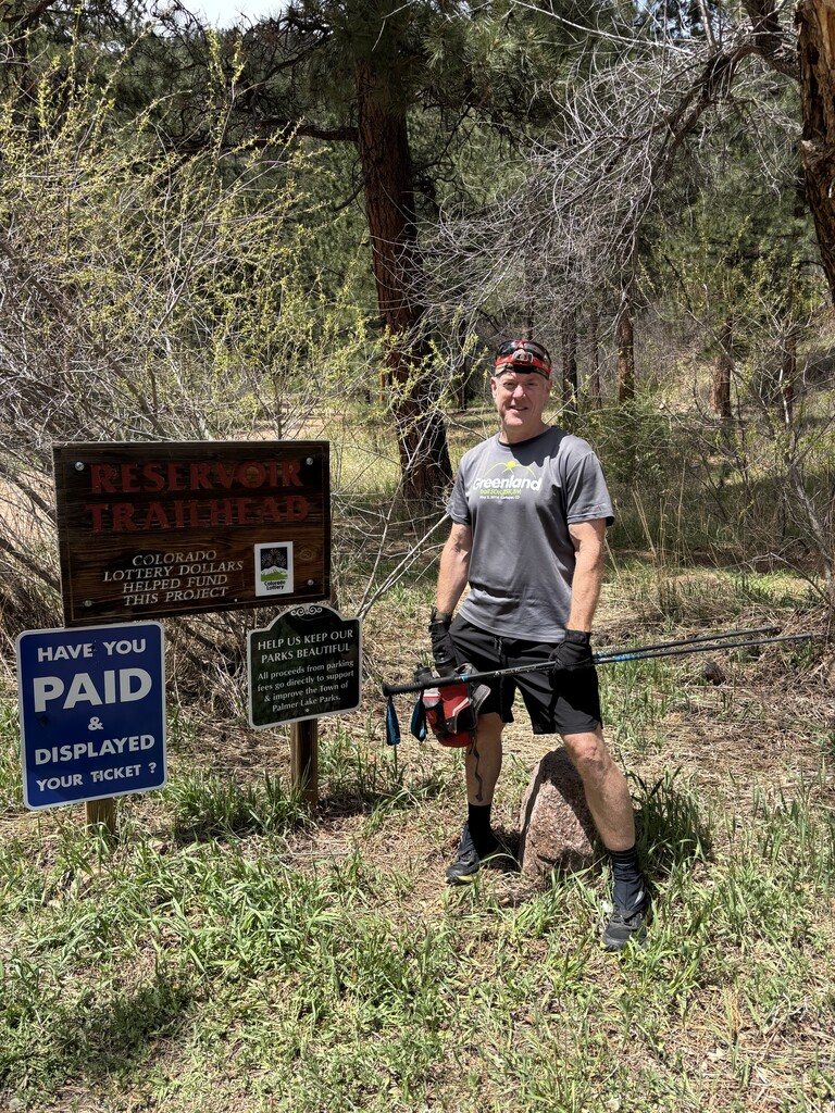
A challenging trek that includes 3 separate routing finding efforts with lots of Waldo Canyon Burn scar tree crossings to deal with. This is an outing not to get impatient with. Just when you are humming along. Boom, you gotta dial it back and pay attention. Hence, its variety. With six watering holes to hydrate, anyone should be able to do it solo like I did. But if you want aid, there’s also about six spots a team could meet you out there along FS roads.
Here's a YouTube video on it... https://youtu.be/5OSZfFgYV54


Comments
Ummmm. the vert is 7,000-ish feet total. Not 7 feet. Just sayin'