Forge the Gorge follows the Cuyahoga River on both sides in the rugged canyons of Cascade Valley. Bordering two cities, Akron and Cuyahoga Falls, this route travels along 7 trails with connections along the road and sidewalk. With steep cliffs, deep ravines and waterfalls, the route has many elevation changes and dramatic scenery that feels out of place for Ohio. The route is near an urban area and convenient for trail runners going to the national park or who live nearby.
Highlights include:
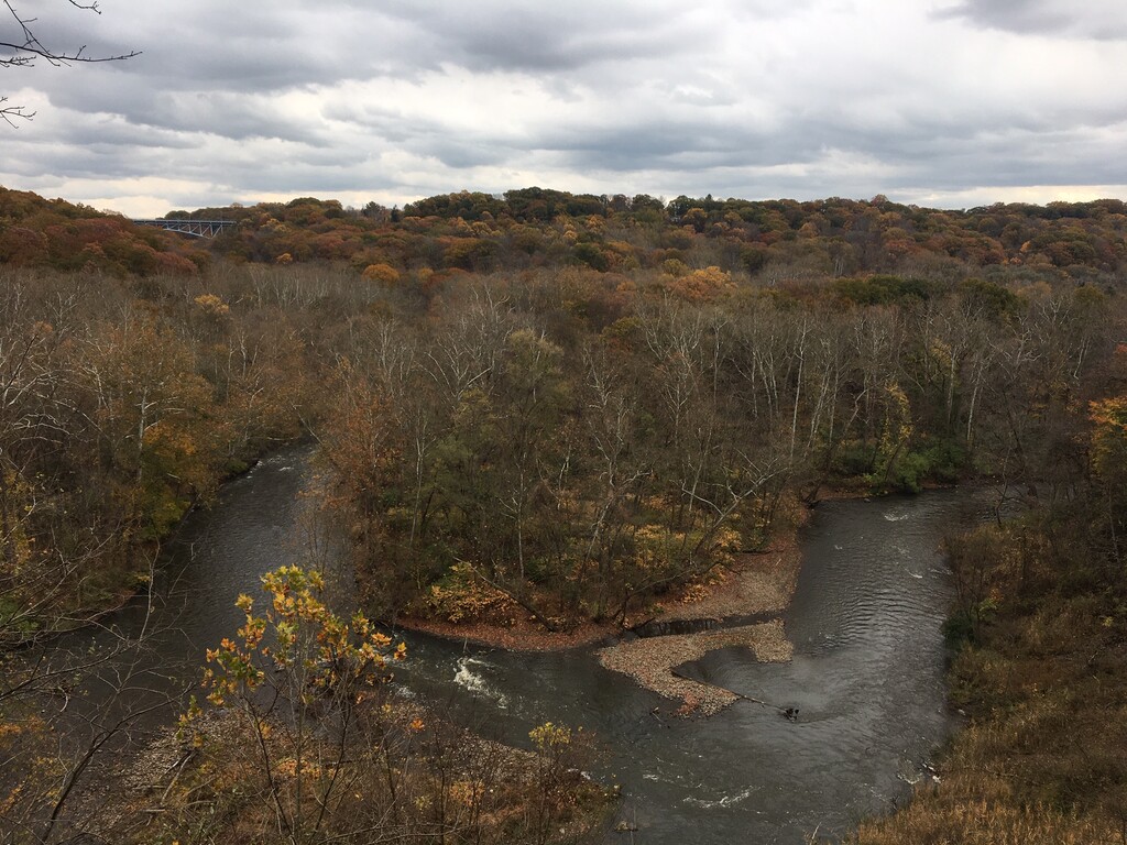
- Cuyahoga river, the same river that caught fire upstream in 1969, leading to the creation of the EPA. This route follows the bend of the Cuyahoga, as it travels from Lake Erie to Akron and heads back north through the Cuyahoga Valley National Park to Cleveland.
- The Overlook, part of the Cascade Valley Metro park occurs in the middle of the route. Known by many as the Grand Canyon of Ohio. A small platform 100 feet above the valley provides a birds eye view of the gorgeous river and forest.
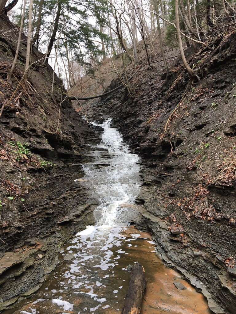
- The hidden crystal falls is part of a short section off trail as runners follow the edge of the river to Babb Run.
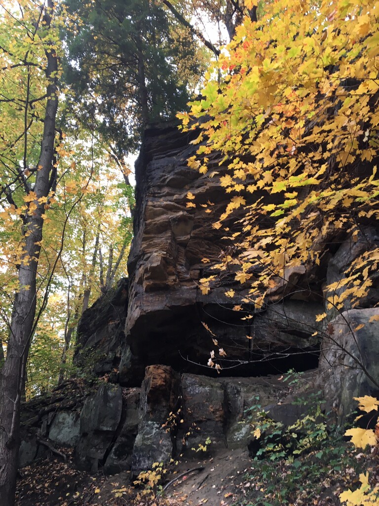
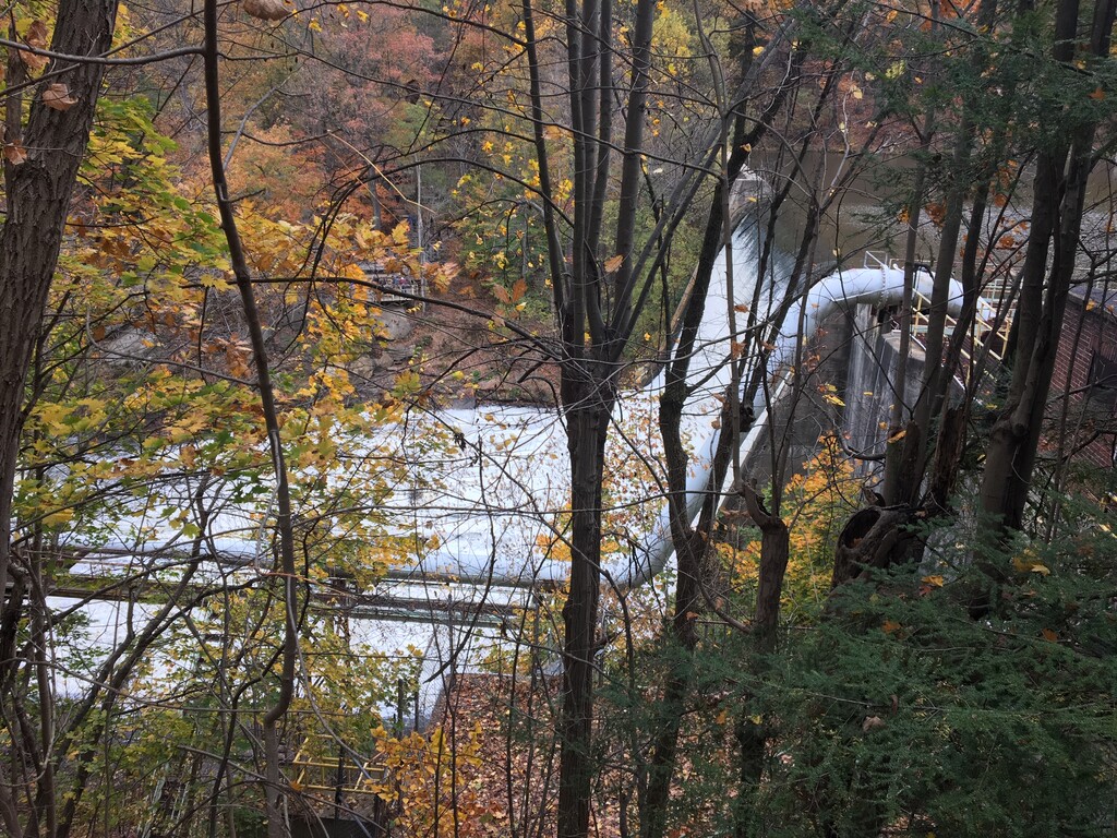
- The soon to be removed Gorge Dam hides a waterfall behind a massive 400 ft wide, 60 foot tall concrete barrier that once powered the rubber factories and mills nearby. The last dam on the Cuyahoga is moving forward with removal in a few years. The massive undertaking is expected to reveal a natural waterfall that could be one of the widest and tallest in northeast Ohio. A full mile of class 5 whitewater kayaking is expected to attract professionals.
- The signal tree is a large, 300 year old burr oak. It was once a trail marker used by native Americans.
Course Description
This is a lollipop route route. The stick of the lollipop is only included once, so the finish is in a different location from the start, by about 3/4 mile.
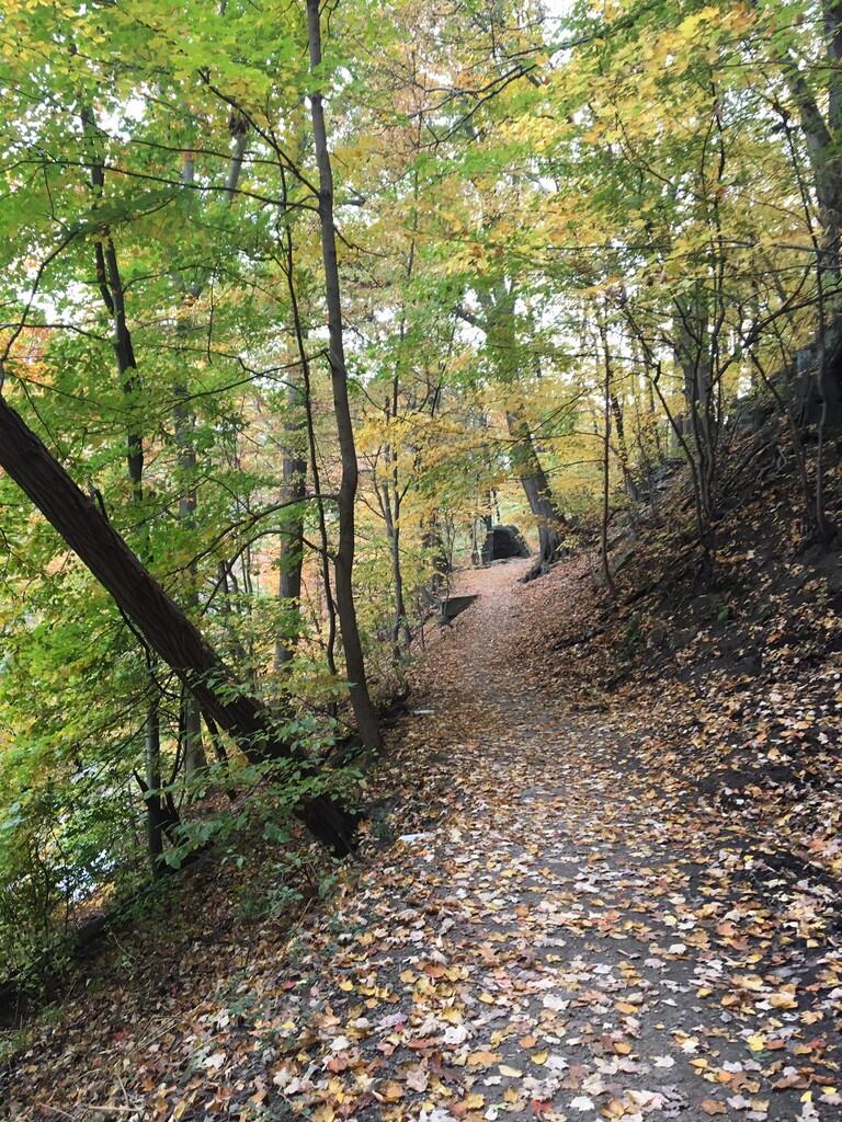
1. Begin at the Glen's Trailhead near Chestnut and Front Streets in Cuyahoga Falls, and follow the Glen's trail south to the Gorge Metropark
2. Cross Front Street and follow the Gorge trail closest to the river, passing by the Gorge Dam
3. Continue until you see a large wooden staircase at right and are underneath the High-Level Bridge. At this point, the trail ends. Scramble down to the edge of the river and continue to follow south
4. Hidden Crystal Falls can be viewed on the right, tucked into a small valley. The trail will then become more visible and connect to Babb Run
5. Follow the park road out of Babb Run and turn left on Sackett Ave to the Overlook Trail
6. Take the paved trail to the Overlook deck. After the platform is a dirt path that heads down into the valley
7. Follow the Oxbow trail along the Cuyahoga river to the paved turnaround. Continue towards the ballfields and turn left on Cuyahoga Street.
8. Turn left on Peck road towards Chuckery Trail. A crosswalk will indicate where the trail crosses Peck road. Turn left onto Chuckery.
9. Pass by the Indian Signal tree and towards the Cuyahoga River. Chuckery trail ends at the start of Highbridge trail
10. Follow Highbridge trial to the entrance of the park, near the beginning of Glen's trail.