Cerro La Paloma is an iconic peak of the Santiago region, one of the only two with Cerro Plomo covered of snow all year long. The normal route begins from Yerba Loca, a private park located at the turn number 15 on the road to Farallones. There is no public transportation to get there. Booking must be made at least a day before arrival. As this route is long and the park is only open from 8h30 and 18h (and there are still 20 minutes’ drive from the gate to the actual route start), you may consider arriving the day before and booking a campsite.
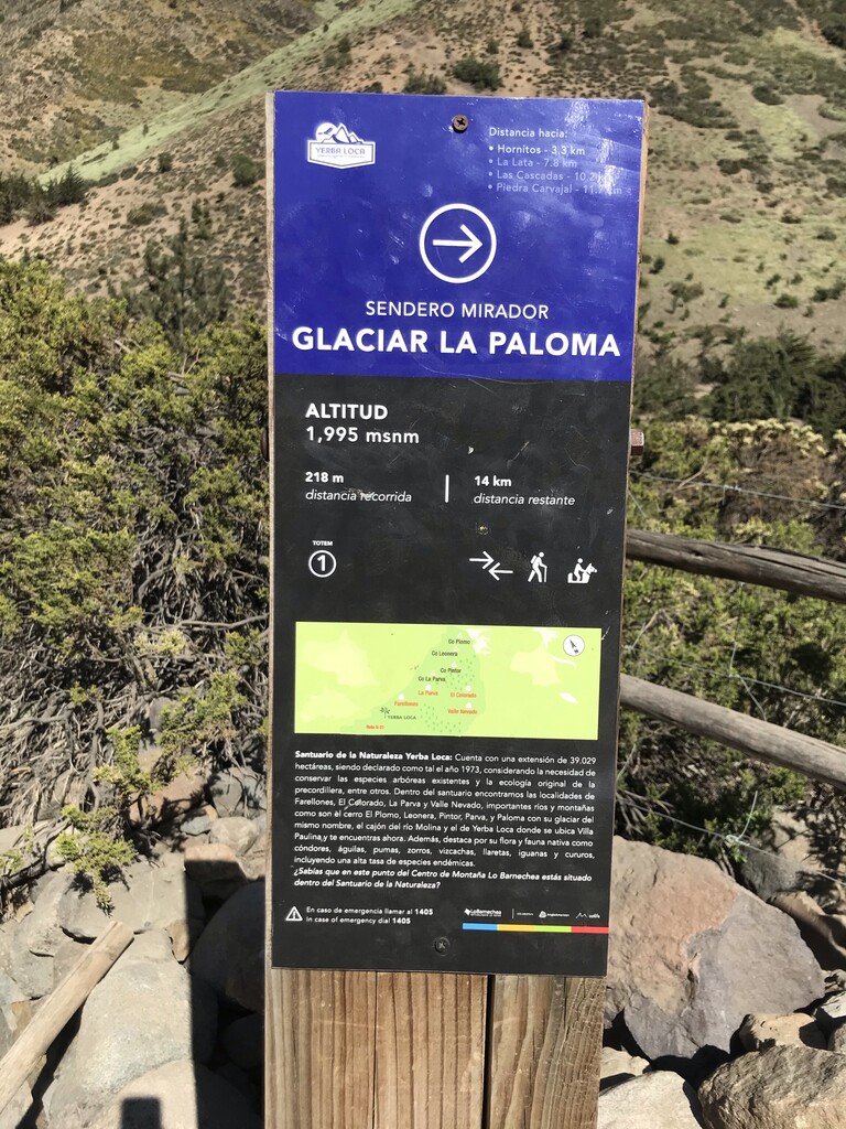
The route starts at the first sign-post giving information about the Glaciar Mirador trek. The path leading to there is well marked, with sometimes parallel trails, but the main one is identified by black and purple poles. Many water sources are available until the sector called las Cascadas. You must know that water coming from the right slope is ok to drink. Do not drink from other streams, they are heavily polluted with sulphate and not safe to drink. From las Cascadas, you will have to climb a steep section to arrive at Piedra Carnaval, the regular base camp for mountaineers climbing la Paloma. You can sometimes find good water here.
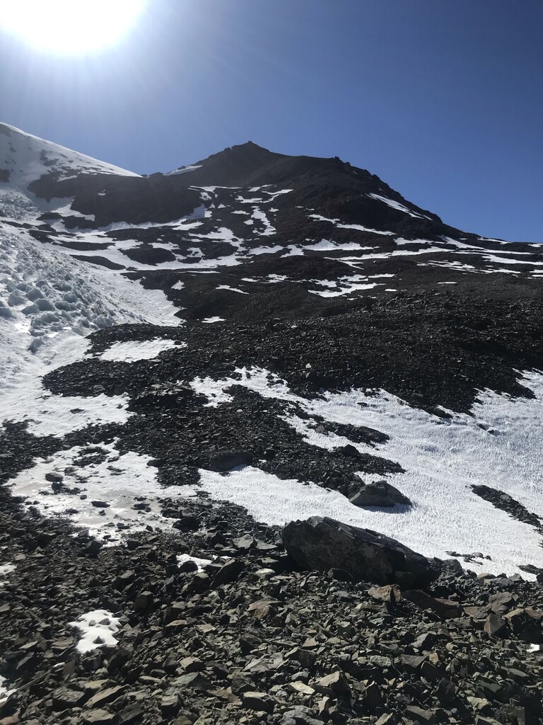
From Piedra Carnaval, the path begins to be more challenging to follow. You can continue the trail leading to the mirador, but at some point, you must cross the river and continue the climb on the left side. As soon as you cross the river, there is no clean trail for a while. The way follows in a rock field (unstable), on the left side of La Paloma’s glacier, leading to the small Rincon Glacier. It is a small glacier, with almost no crevasses. No gear is needed to cross it, but it is advised to stay on the right side of it. Continue climbing until reaching an upper shoulder, where trails are coming back. To get there, crampons are mandatory for efficiency and safety.
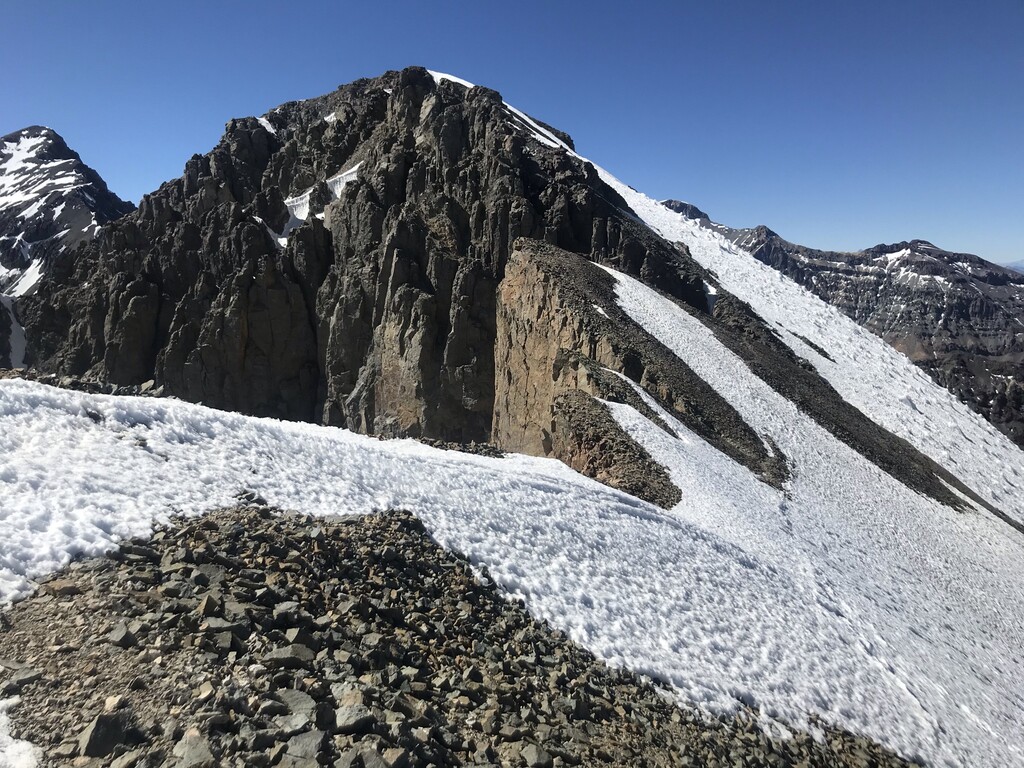
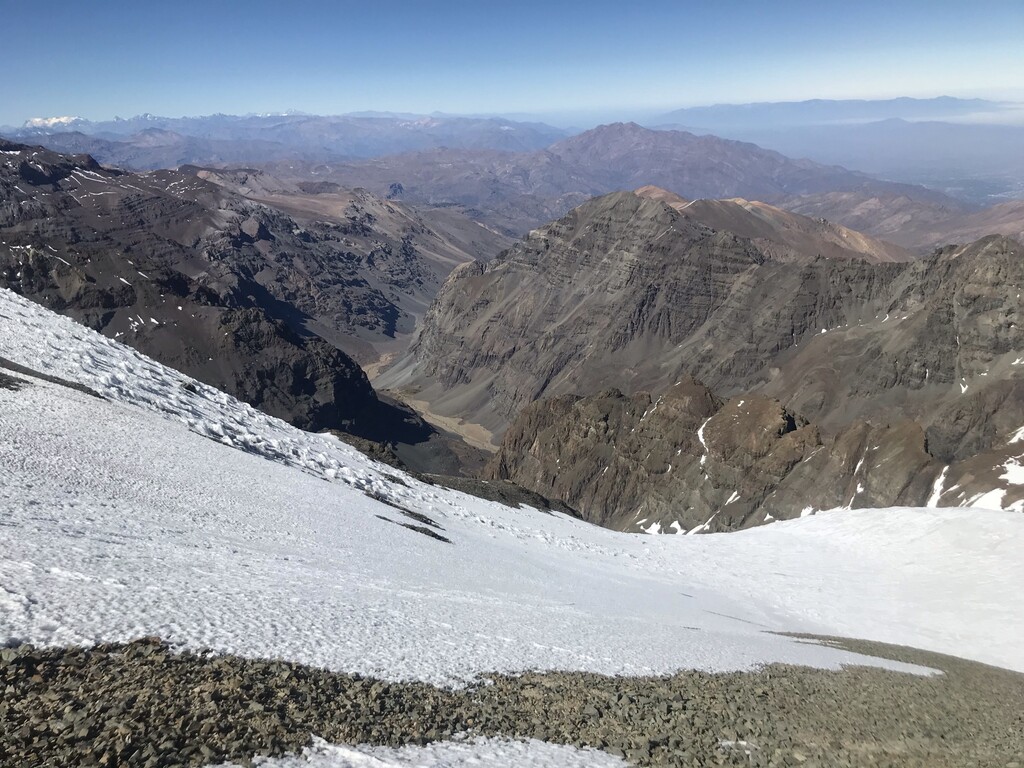
Once on the shoulder, aim for the summit in front of you. As you will see once at the top, it is not the main summit, you will have to continue the ridge. The ridge is often covered by snow and ice, and exposure is real. Continue to a second false summit, before reaching the real one identified by a cairn.
Descent is on the same way.