Cerro Paine is located in Torres del Paine National Park, Chile.
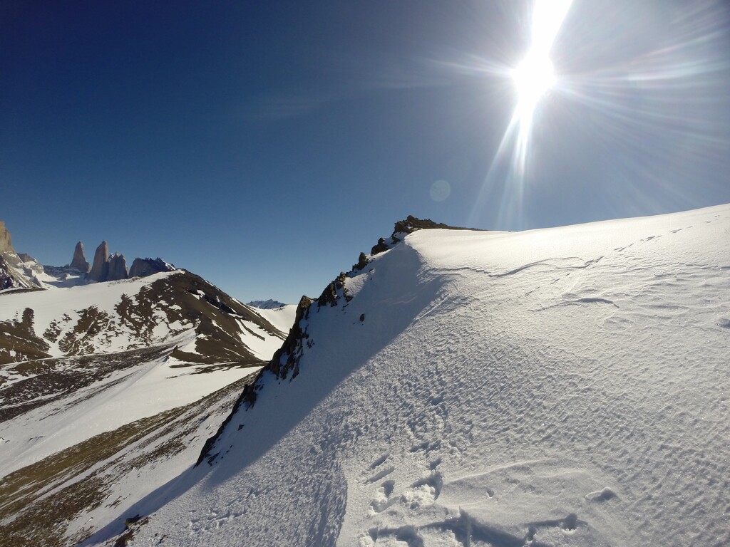
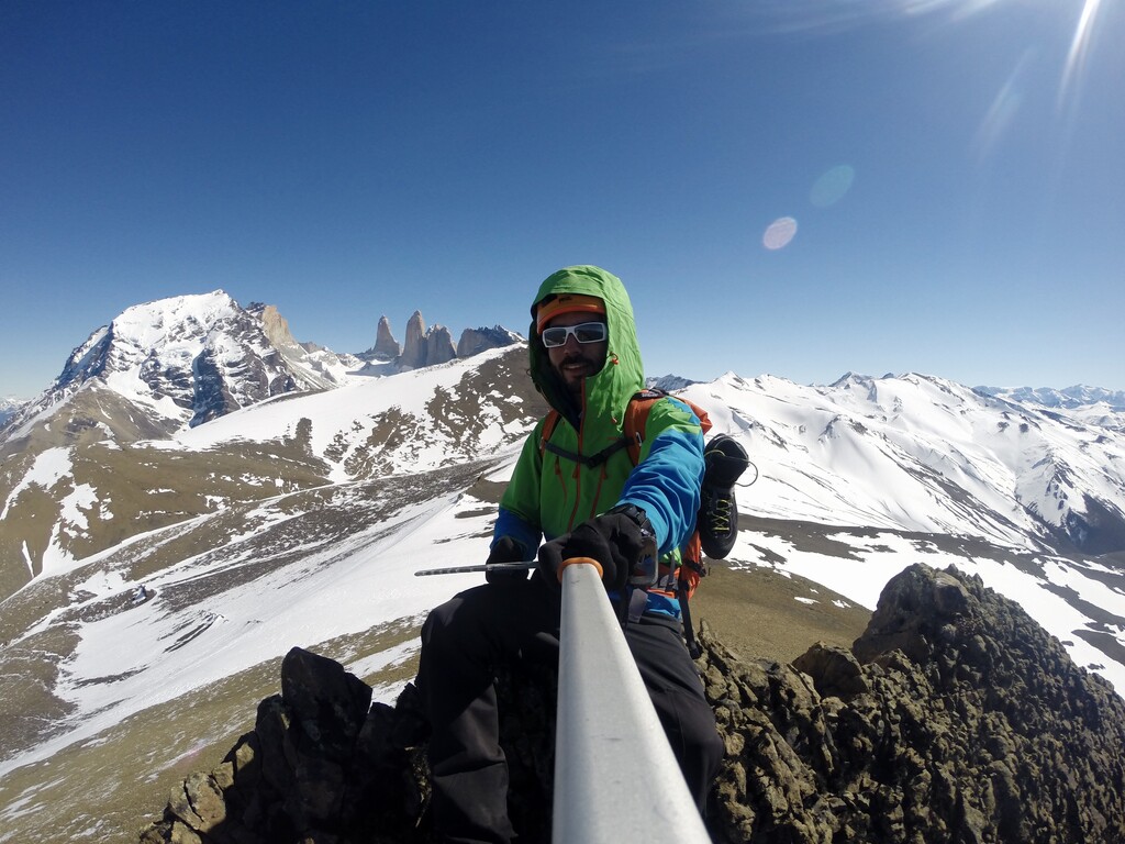
It is the mountain that offers the best view of the iconic Torres del Paine rock formation and a 360 degree view of most of the national park.
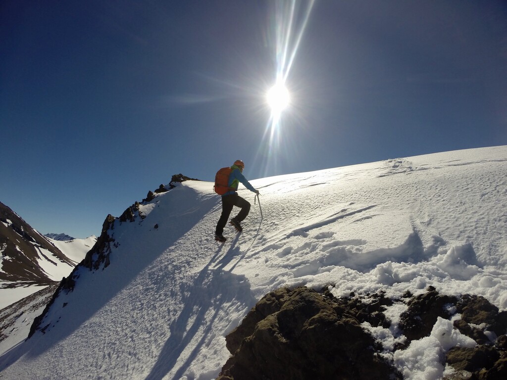
It has a height of 1,508 meters, with a route of approximately 7 kilometers to its summit. The trail begins at an altitude of 100 meters at the Hotel Las Torres and is well marked with small PVC posts. The route runs along the upper edge of the Ascencio River. The route is always steep and runs first through the Magellanic forest and then continues through open mountain, with rocks and snow. Its summit is not marked, but it is easy to recognize since it is an outstanding rocky ridge with a steep slope.
https://www.andeshandbook.org/montanismo/cerro/880/Paine