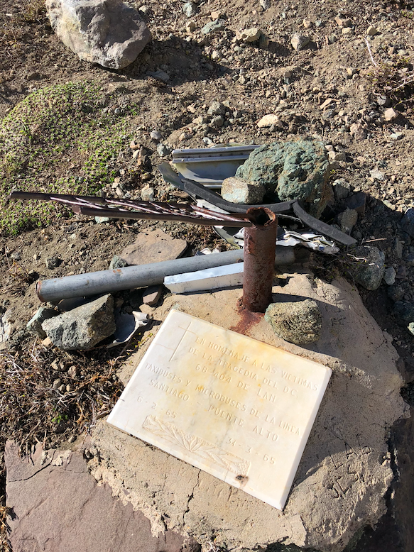
To the south of the small mountain town Baños Morales and at the entrance to the Valdés valley, this beautiful hill is located, witness to the tragedy of 1965, when a LanChile 404 plane crashed into the Valdés hill. This sad event is commemorated by a plaque left by the Bus Association of the Puente Alto-Santiago line.
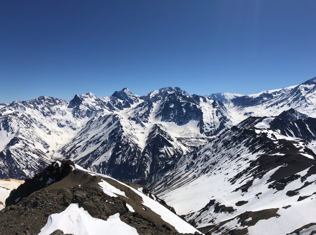
On the other hand, its location as a privileged viewpoint of its numerous and beautiful neighbors- Corona, Diablo, Diente del Diablo, Retumbadero- make it worthy of a visit at any time of the year, and its ascent is not as difficult as that of the other mountains. that make up the valley.
The first ascent of this hill is attributed to Josef Koch, who shortly after the inauguration of the Aleman refuge of Lo Valdés made the complete route of the Lo Valdés cordon alone in 1933. It is not entirely clear which peaks it reached during this tour, but it is possible that it passed the summit of the Vega that was not yet known by this name.
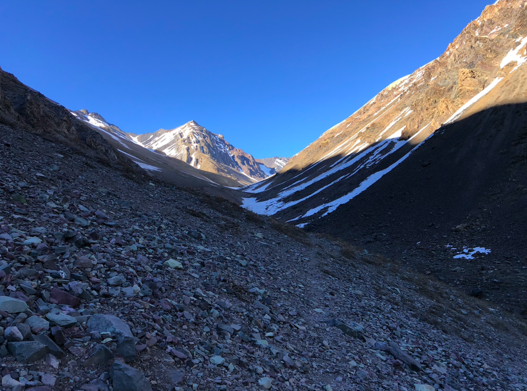
The FKT track begins on the side of the road, just passing the rock where there is a cross of Jesus, and before the gypsum mine.
References
Echeverría, Evelio. A Survey of Andean Ascents. American Alpine Journal, 1963 (p. 438).
Krückel, Sebastian. Geschichtliche Daten über Ausgeführte Gipfelbesteigungen im Gebiet der Chilenisch-argentinisch-bolivianischen Kordillere. Andina Magazine 1933, German Andean Club (p. 36).
All data collected from Andeshandbook.org