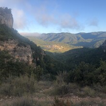
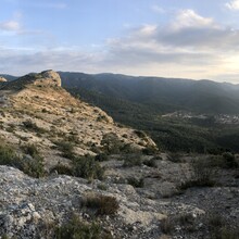
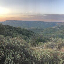
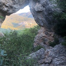
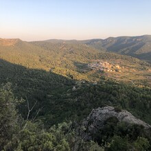
This ~22mi loop traverses the full bowl-shaped amphitheater of mountain ridges that surround the village of Capafonts in Parc Natural de les Muntanyes de Prades (Prades Mountains nature reserve, a mountain massif that runs E to W in Catalonia, Spain, and a popular destination for climbers and hikers); It has a total vertical gain of 5,213ft, and it is >99% on trails. It connects multiple popular day-hikes in the Prades Mountains reserve.
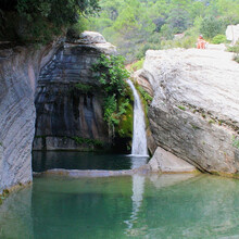
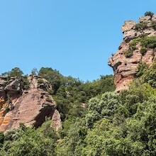
The route starts and finishes at the trailhead in front of the cemetery just outside the village of Capafonts. When run counter-clock wise, it first climbs a col (Coll de Capafonts) in the span of 2 miles. On the South side of the bowl of mountains lie Els Motllats (miles 2-8 in gpx), a limestone mountain plateau where the trail is a spectacular, exposed, and technical single file path running along the rock cliffs from miles 5-8. In this section, the trail hugs the cliff right under the peaks of Tossal del Tomas (1015m), La Moleta (1008m), Tossal del Colomer (1006m), Els Morterets (1003m), and Pena-Roja (1031m). The trail then descends the plateau of Els Motllats until it crosses the Brugent river at Toll de l'Olla, a beautiful river gorge with a 15m waterfall (between miles 10-11), near the village of Farena. The trail then ascends for two miles crossing a long stretch of scree under the mountain Mola d'Estats to reach a col (Coll de la Caldereta) on the north-east side of Capafonts. The trail then follows E to W the ridge of red sandstone mountains on the North side of the bowl from miles 13-20. At ~mile 15 you leave the loop to climb Tossal de la Baltasana (1203 m, highest peak of the Prades Mountains), with and out-and-back to return to the loop, before the final ~2mi descent to Capafonts.
There are no places to get potable water or water from natural sources anywhere on the route, with the exception of the Brugent river crossing around mile 11 (not recommended to drink from that spot unless you have a filter).

