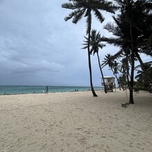
Route: Circunvalar de San Andrés

Submitted by Kate Olson on Tue, 06/04/2024 - 09:01pm
Location
San Andrés, Providencia y Santa Catalina, CO
Distance
20.1 mi
Vertical Gain
729 ft
Description

This route is a circumnavigation of San Andrés in the Archipelago of San Andrés, Providencia and Santa Catalina, a small Colombian island in the Caribbean off the coast of Nicaragua.

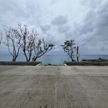
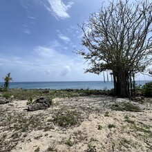
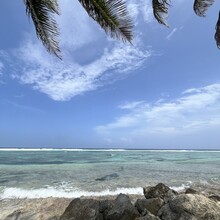
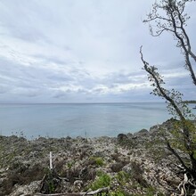
The route is a mostly flat 20-mile (32 kilometer) journey on roads next to the coast and offers stunning views of the Sea of Seven Colors. Coral cliffs line the quiet west and part of the south coast, pristine beaches are the feature of the east and north. The north features the main city/hub of the island.

The island itself is small and not heavily populated. Roads are most often used by golf carts, scooters, and motorcycles though there are some cars and trucks also.

There’s minimal shade on the route.

https://www.gaiagps.com/public/TFHEf8YQUQRcSmblArb42YTk/

GPS Track

Comments

Amazing achievement, but this is definitely not the fastest known time. There's a race running around the island every year and this year the winner completed the circuit in 1:51! Check official results here: https://sanandres32k.co/. You should check better FKT.