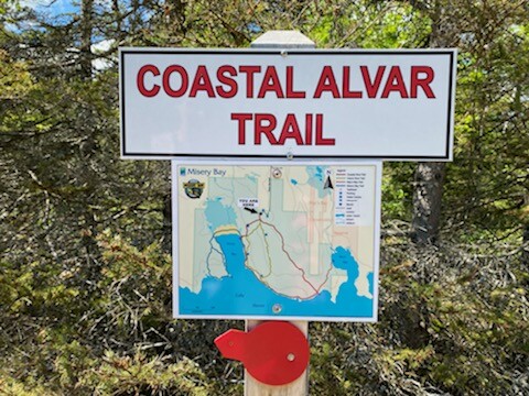
Location
Ontario,
CA
Distance
9 km
Vertical Gain
37 m
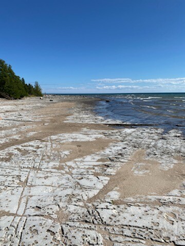
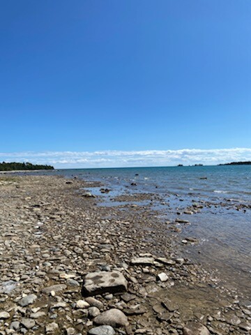
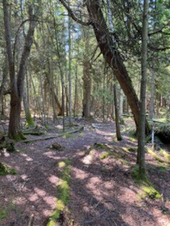
Description
GPS Track
TrailRun20220729100617.gpx645.77 KB
FKTs
Male
Female
| Jamieson Hatt | 42m 14s |
| Chantal Demers | 44m 25s |
Images