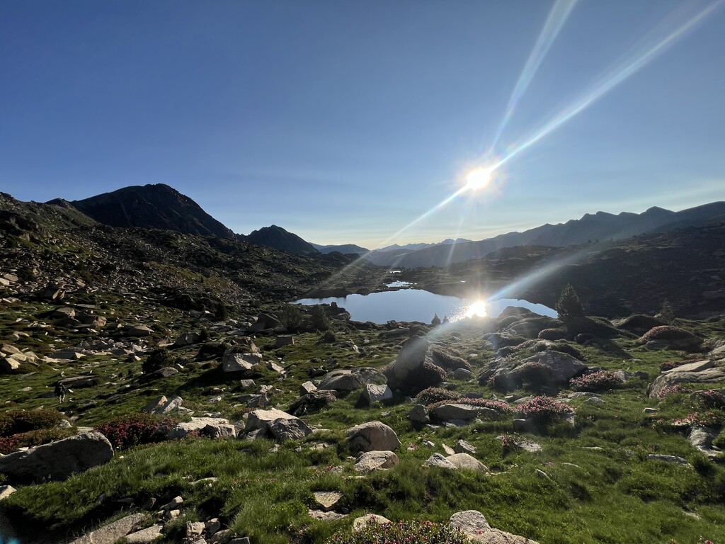
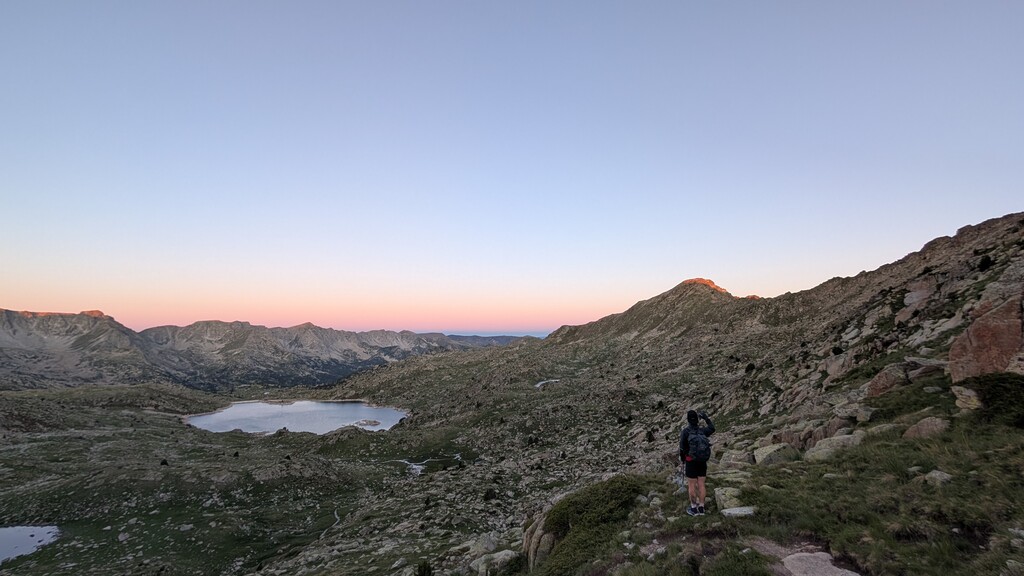
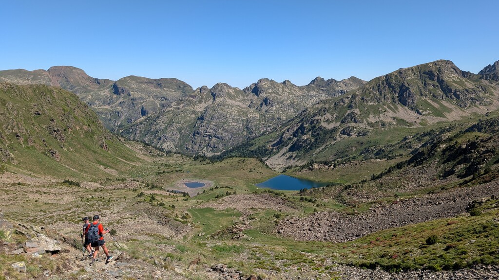
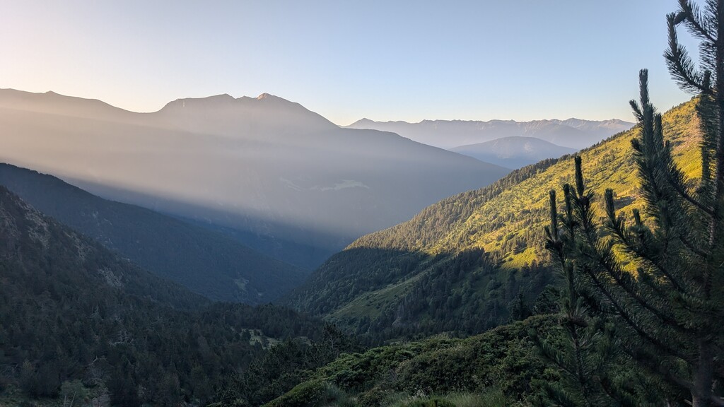
Route: Coronallacs (Andorra)

Submitted by running_bucky on Wed, 07/16/2025 - 03:22am
Location
Andorra
Distance
92 km
Vertical Gain
6,449 m
Description

The Coronallacs is a 92 km circular hiking route in Andorra, linking all four of the country's manned mountain refuges. It's a challenging, but rewarding, multi-day trek through varied Pyrenean landscapes. The route is designed for hikers to stay overnight at each refuge, minimizing the need to carry heavy packs. 

  • Length and Duration:

    The trail is approximately 92 km long and typically completed in 5 stages, with each stage ranging from 13 to 22 km. 

  • Elevation:

    The route involves significant elevation changes, with a total ascent and descent of over 6,000 meters. 

  • Difficulty:

    The Coronallacs is considered a challenging hike, with sections of medium to medium-high difficulty. It involves sustained hiking at high altitudes, with passes above 2,400 meters. 

  • Route Highlights:

    The trail passes through diverse landscapes, including forests, valleys, high-altitude lakes, and mountain peaks. It also includes sections through ski pistes. 

  • Starting Point:

    The route begins and ends in Escaldes-Engordany, the heart of Andorra. 

  • Refuges:

    The trail connects the four manned refuges: l'Illa, Sorteny, Comapedrosa, and Juclar. 

  • Navigation:

    The route is generally well-marked, but it's recommended to carry a map and GPS data for navigation, especially in areas where some sections might be less defined.