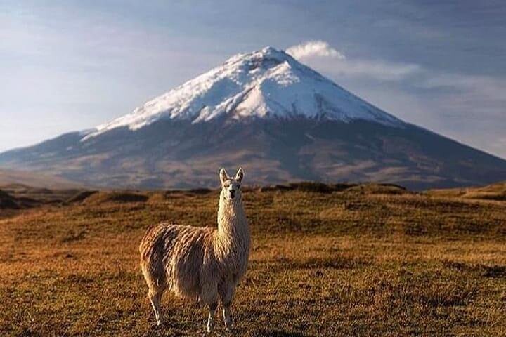
This is an epic route around Ecuador's most iconic volcano. The route was first a two-day mountain bike race, but in recent years, competitive trail runners have begun running FKTs around Cotopaxi. Like many 360 routes, there are a variety of options for both start/finish points, direction (CCW vs CW) and which trails one wants to use. As with other 360 routes, the important stipulation is that one starts and finishes in the same spot and runs all the way around the mountain.
Martin Saenz's route is much more technical and higher on the mountain, but is also slightly shorter. The route mapped here represents the technically simplest route on single-track and farm roads, but is also quite a bit longer.
The back side of Cotopaxi is truly spectacular and remote and worth it to make this an objective. If you don't want to do the entire route, you could do a ~50km half-loop, starting around the Ovejeria and finishing in Mulalo (running clock-wise). This covers the most remote part of the mountain and there are only 1-2 spots for water, and water must be purified, so make sure to be prepared. Weather can change extremely quickly and be oppressively sunny and hot or freezing and wet. Be prepared!
All in all, this is a world class, high altitude route through one of Ecuador's most beautiful national parks. Enjoy!