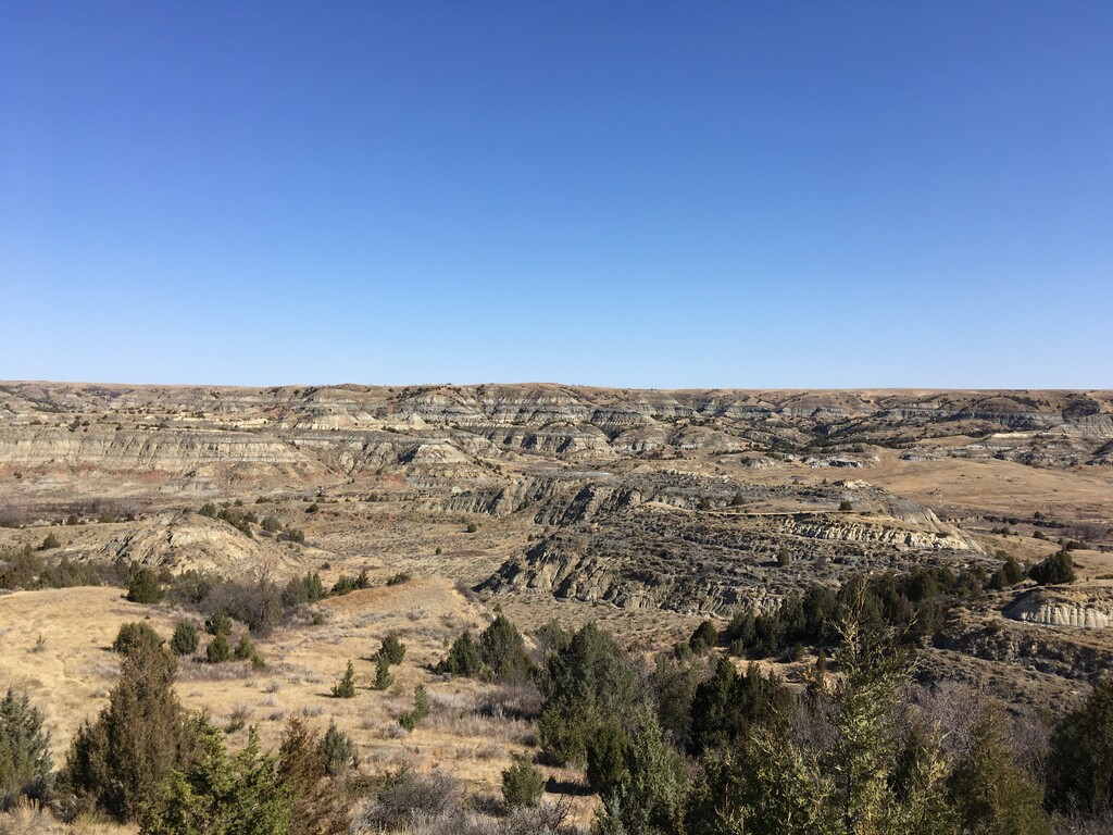
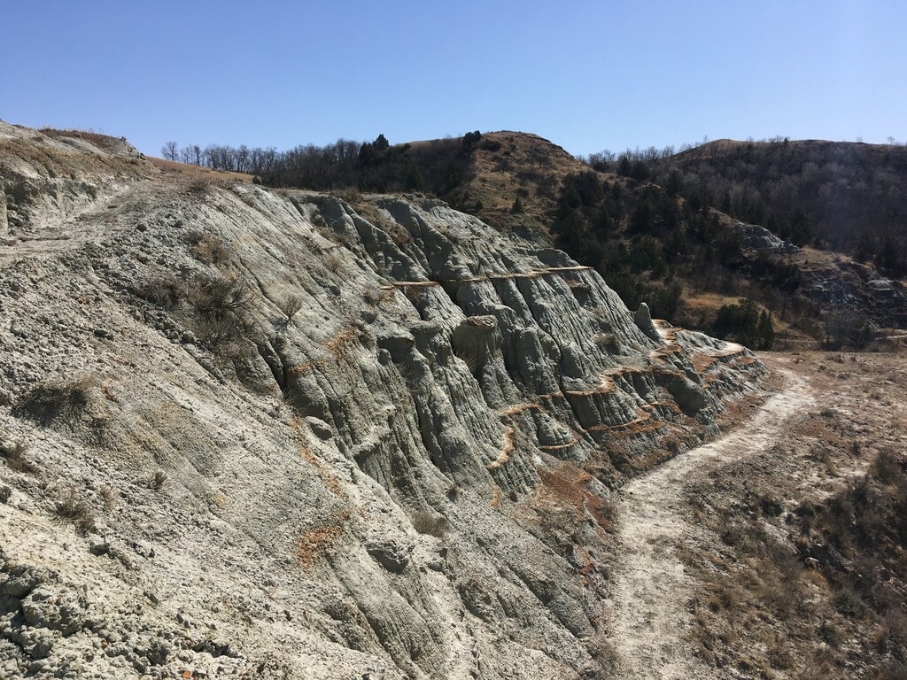
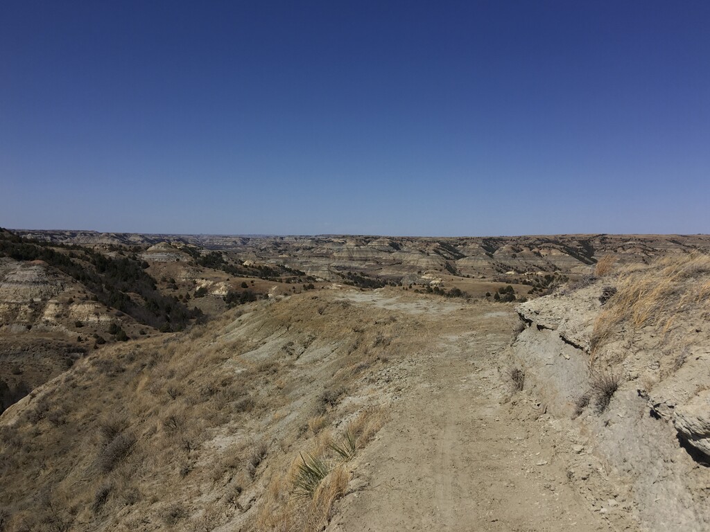
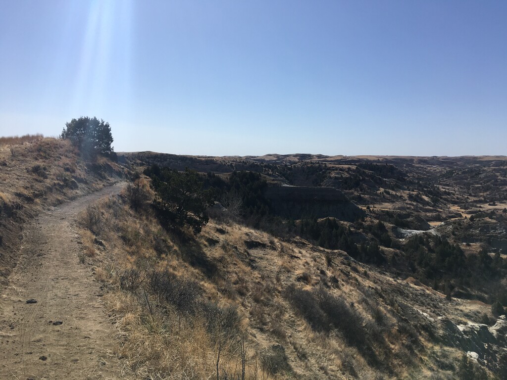
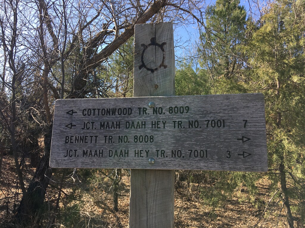
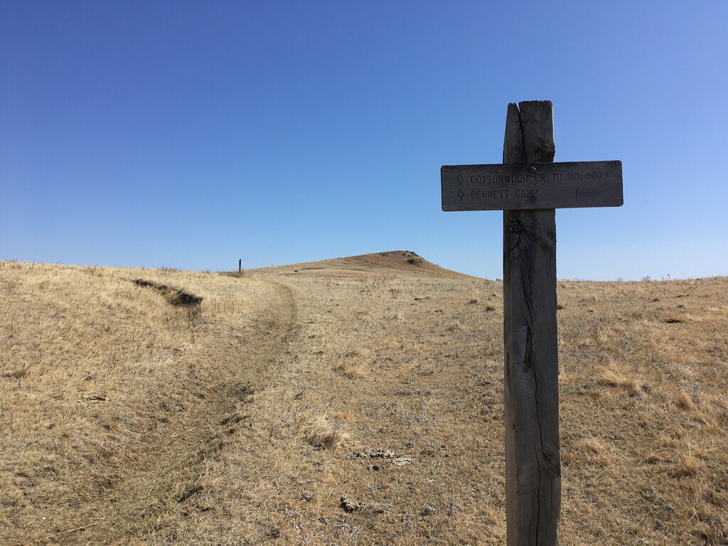
The Cottonwood Trail is a little known hiking and mountain biking trail in the middle of the North Dakota badlands. Despite being very far from any large towns, it is incredibly well maintained and provides stunning views of sandstone, siltstone, mudstone and clay formations. The northern trailhead is just south of Bennet Campground. The southern terminus is a couple miles north of County Route 50 on the world class mountain biking trail, the Maah-Daah-Hey. Both can be accessed off of good gravel roads from US Highway 85, which parallels the trail to the east.
The northern terminus is 400 feet lower than the southern terminus. My watch read 6.9 miles, with 1200 feet of ascent going south, and 750 feet going north. The trail goes through 3 main drainages, alternating between lower wooded valleys through interesting rock formations and higher, grassy plains with views of the badlands. The trail itself feels like smooth California singletrack, with a few possibilities to get wet and muddy in the low areas. You may be able to filter water there too, though there is a lot of livestock in the fields above. This trail has a few gravity powered gates for animals that close behind you after you go through. If you want a longer run you can loop the Cottonwood Trail to the Bennet Trail and a section of the Maah-Daah-Hey, or do an out-and-back.
https://www.trailrunproject.com/trail/7030416/cottonwood-trail
http://mdhta.com/trails/cottonwood/