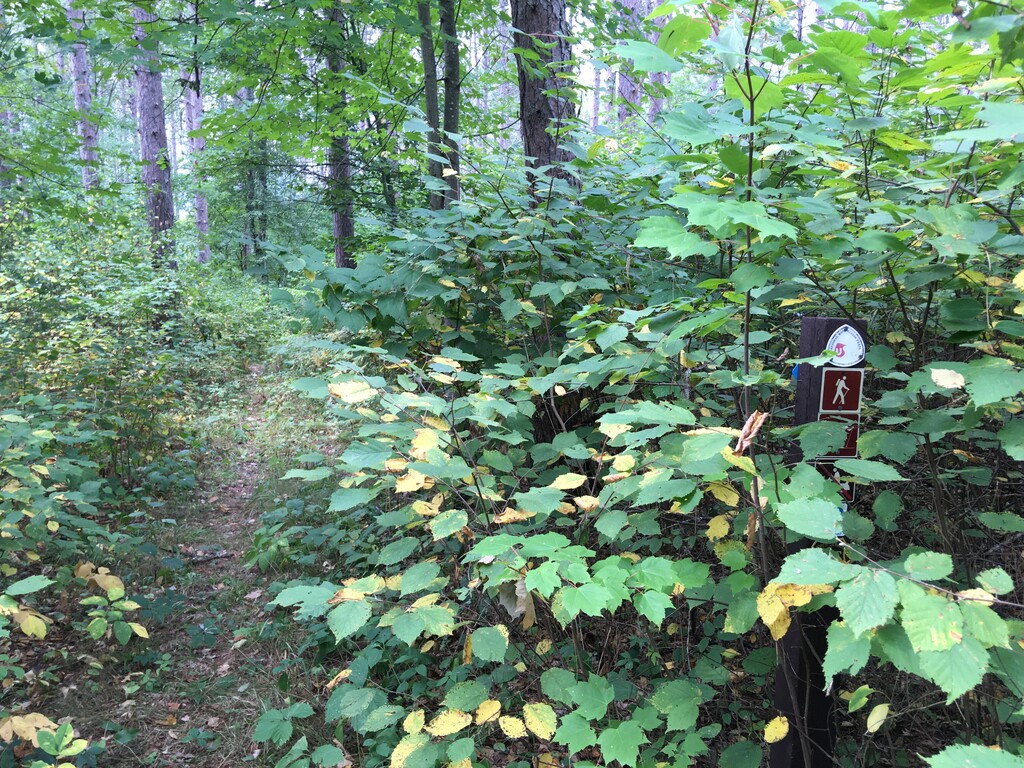
The Cut Foot Sioux National Recreation Trail is a lightly used loop through red and white pines in north central Minnesota, 30 miles northwest of Grand Rapids. It is more popular with equestrian users but is also open for hiking, cross country-skiing and mountain biking. Online information is pretty sparse but estimates for mileage show up as 18, 22, and 24. My watch gave me 25 miles with 1000 feet of gain. I think some of the confusion comes from some websites not counting the Simpson Creek Trail in the mileage, which is on the southeast side of the loop and still has the official National Recreation Trail markers along the trail. This loop connects to 120 miles of additional trails.
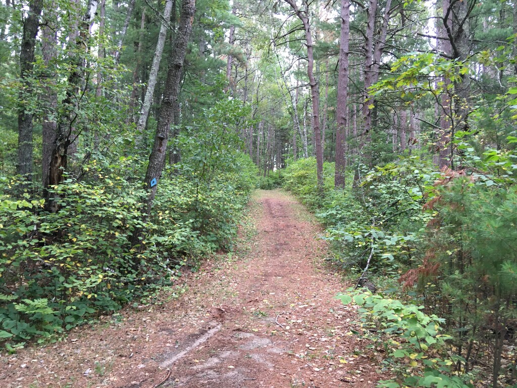
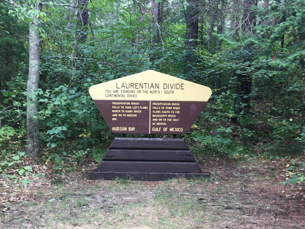
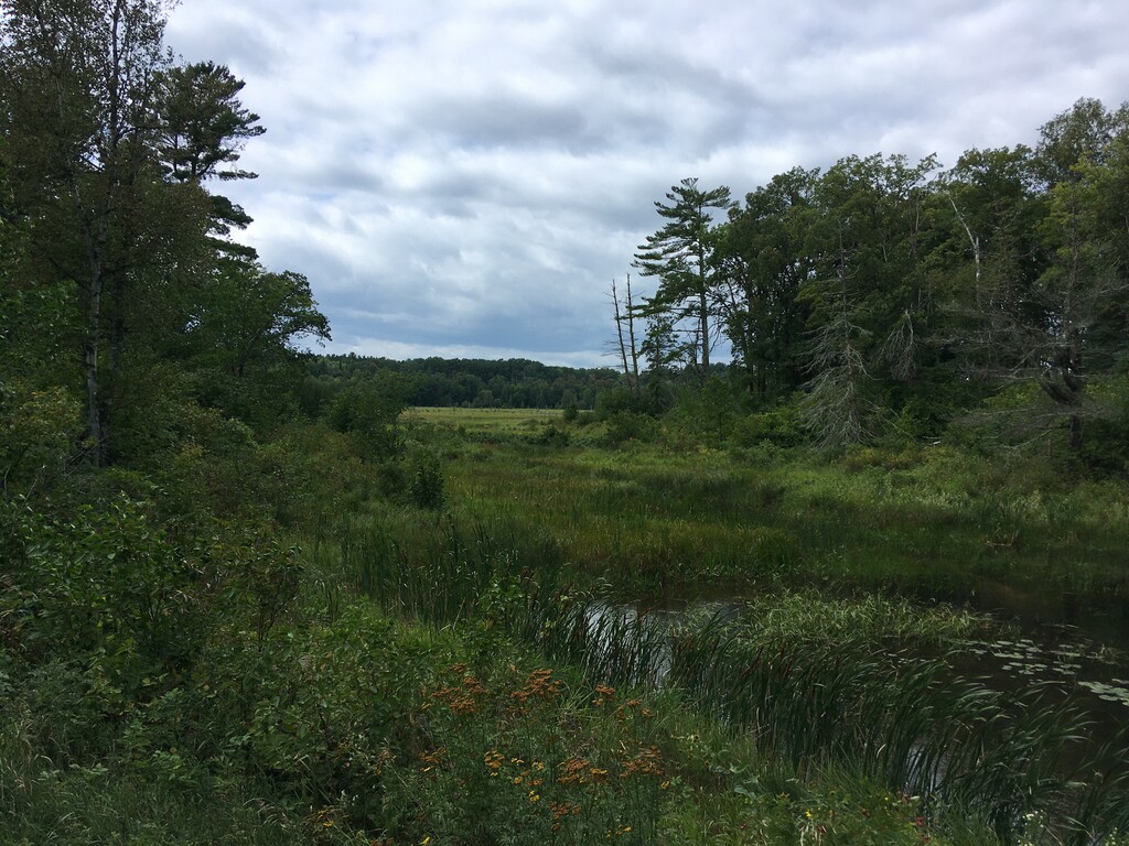
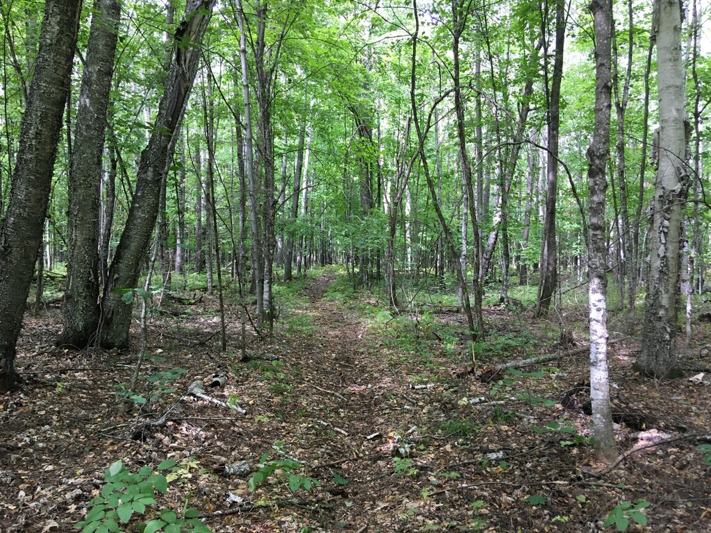
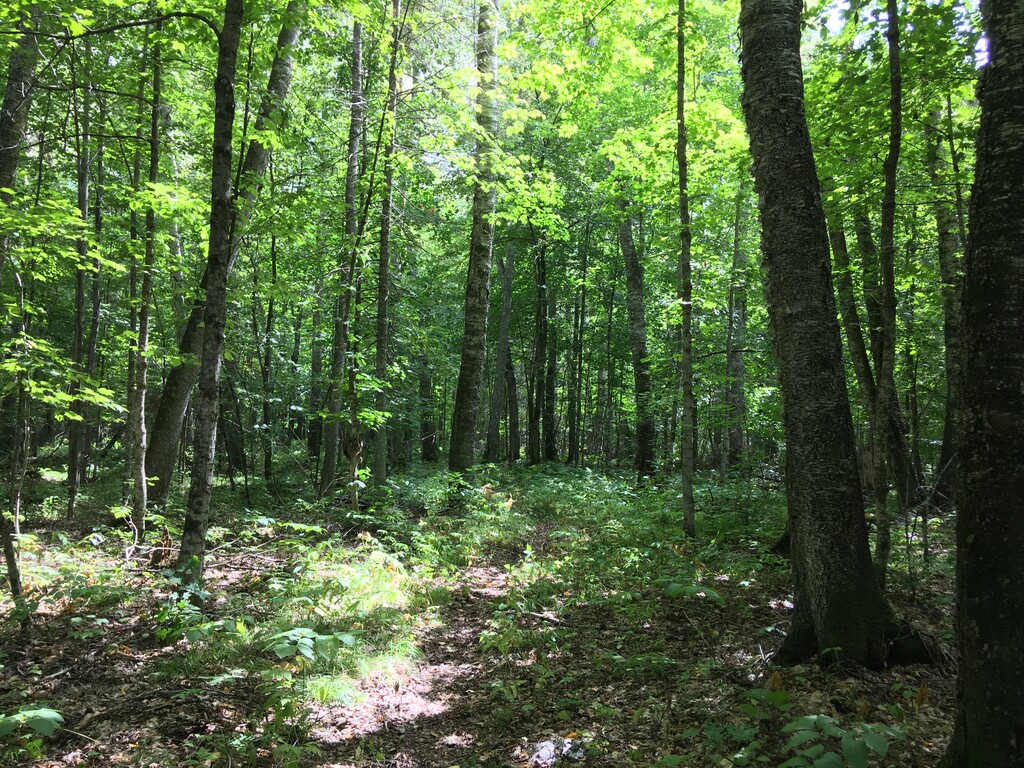
The trail west of State Highway 46 is maintained incredibly well, mostly smooth forested singletrack past lakes and wetlands. There are numerous opportunities to filter water here. The northern section runs along the Laurentian Divide separating the Hudson Bay and Gulf of Mexico drainage basins. The eastern part of the loop has some downed trees from recent strong winds and less options for water, though the Bowstring River in the small town of Inger can be reached with a small detour. The two best options for parking are where the loop crosses Highway 46, at the Cut Foot Sioux Visitor Center in the south and the Laurentian Divide trailhead in the north. This loop also crosses numerous forest roads and a couple paved roads that could be used as access points.
https://www.trailrunproject.com/trail/7075518/cut-foot-sioux-n-r-t-trail
https://www.nrtdatabase.org/trailDetail.php?recordID=356
https://www.fs.usda.gov/recarea/chippewa/recreation/hunting/recarea/?recid=26776&actid=50