🇨🇿 Česká verze (CZ)
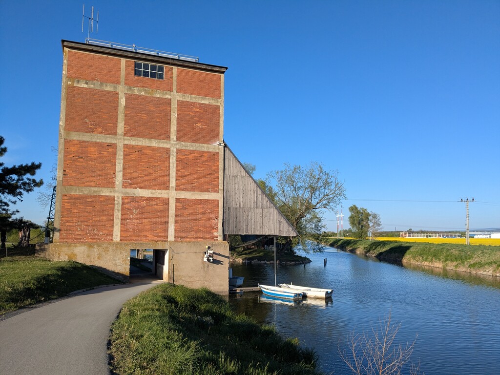
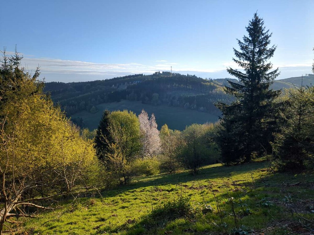
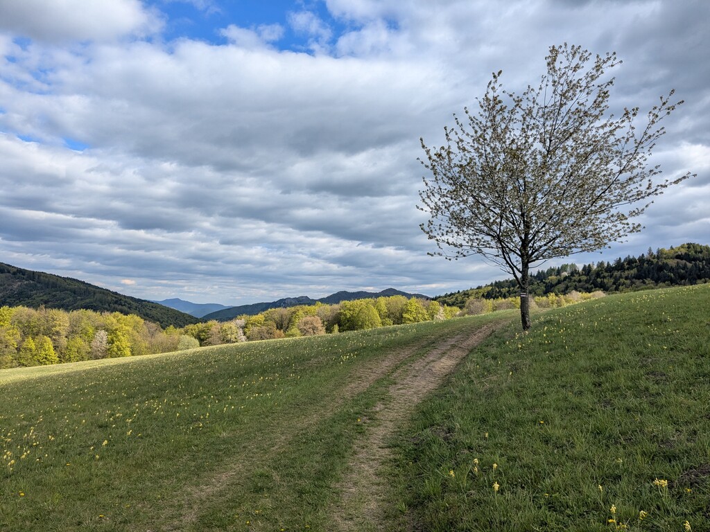
Popis: Tato trasa představuje kompletní přechod česko-slovenské hranice. Startuje v Břeclavi u vlakového nádraží (z důvodu snadné dopravní dostupnosti) a směřuje nejprve na jih k trojmezí CZ/SK/AT u soutoku řek Moravy a Dyje. Odtud se stáčí na severovýchod a věrně kopíruje státní hranici přes čtyři výrazná pohoří: rovinatý Dolnomoravský úval, orchidejové louky Bílých Karpat, táhlé hřebeny Javorníků a technicky náročné vrcholy Moravskoslezských Beskyd. Cíl se nachází v nejvýchodnější obci Hrčavě, přesně u trojmezí CZ/SK/PL.
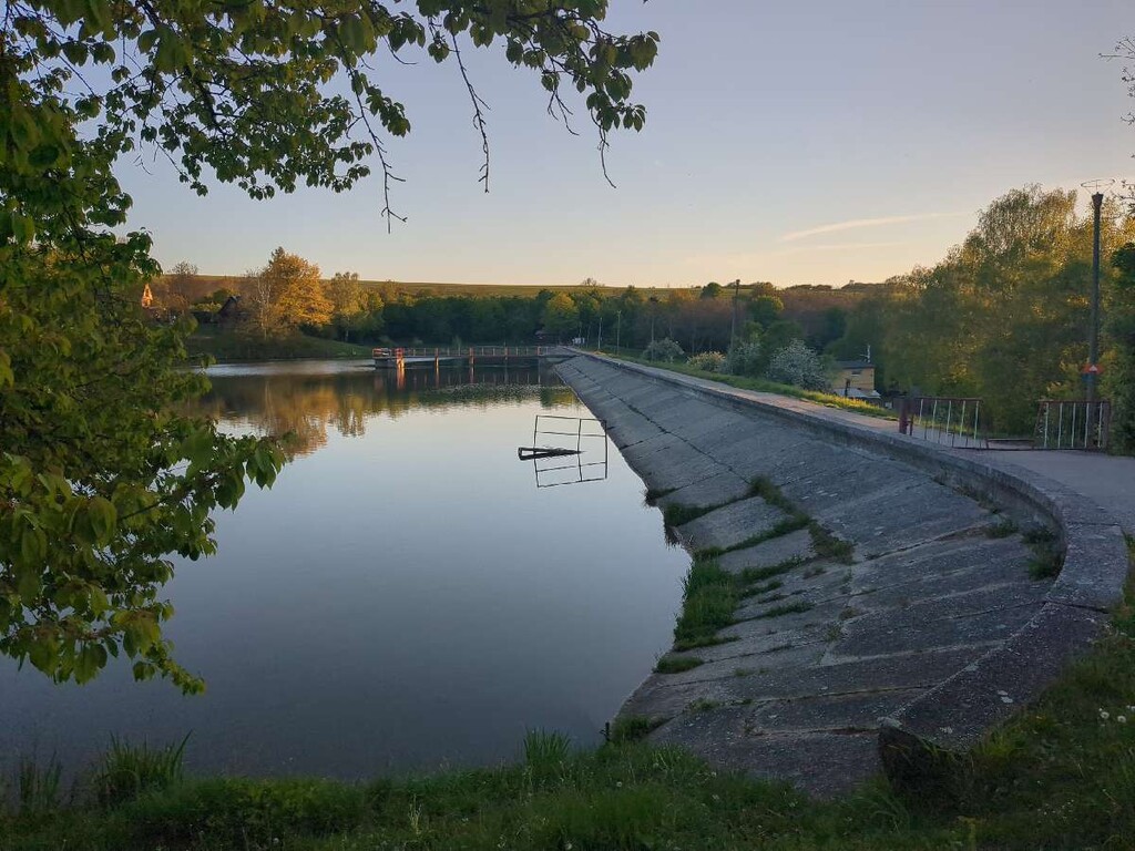
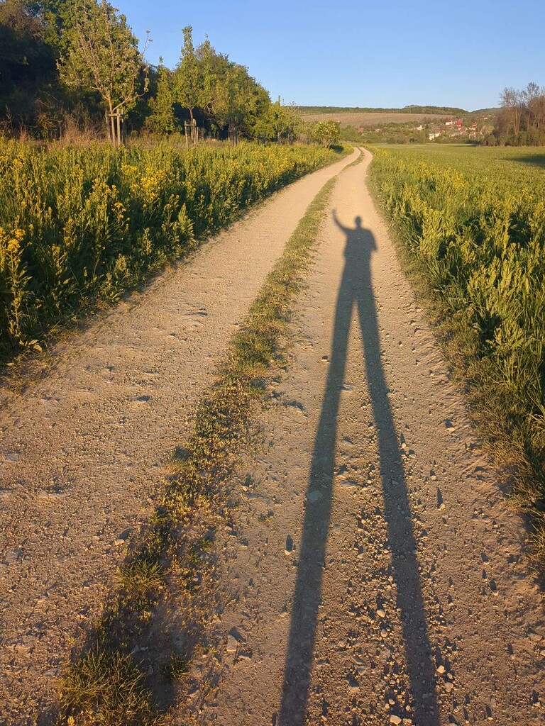
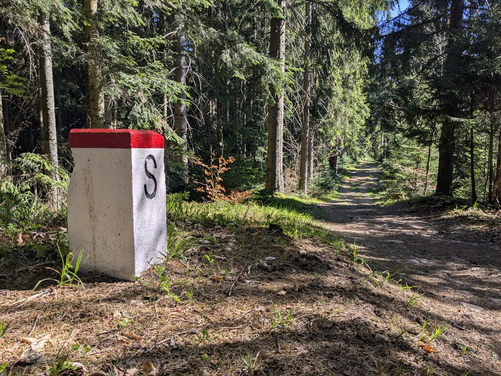
Terén a navigace: Trasa nabízí fascinující kontrast – od rychlých asfaltových a šotolinových cest v nížině až po strmé, technické a kořenovité pasáže v Beskydech. Běžec musí sledovat nejbližší turistické trasy kopírující hraniční čáru (často červená hřebenovka). Je to test nejen fyzické kondice, ale i logistiky a mentální odolnosti v odlehlých pasážích.
Logistika a voda:
-
Voda: Lze využít přírodní studánky, ale jejich průtok je v suchých měsících nejistý. Doporučuje se nést větší zásobu vody.
-
Jídlo: Na trase jsou dvě strategické benzínové pumpy s nepřetržitým provozem (vhodné pro nákup zásob).
-
Varování: Otevírací doba horských chat a restaurací v příhraničí je velmi nespolehlivá a nelze na ni v rámci plánování stoprocentně spoléhat, zejména v nočních hodinách.
🇺🇸 English Version (EN)
Description: This route covers a complete traverse of the Czech-Slovak border. It begins at the Břeclav train station (chosen for its easy accessibility) and heads south to the CZ/SK/AT tripoint at the confluence of the Morava and Dyje rivers. From there, it turns northeast, strictly following the national border through four distinct regions: the flat Lower Morava Valley, the scenic meadows of the White Carpathians, the long ridges of the Javorníky Mountains, and the steep, technical peaks of the Moravian-Silesian Beskids. The finish line is located at the village of Hrčava, specifically at the CZ/SK/PL tripoint.
Terrain and Navigation: The route offers a fascinating contrast, ranging from fast asphalt and gravel paths in the lowlands to steep, technical, and root-filled sections in the Beskids. Runners must follow the tourist trails closest to the boundary stones (often following the red-marked ridge trail). This is a test not only of physical endurance but also of logistics and mental strength in remote border areas.
Logistics and Hydration:
-
Water: Natural springs are available, but their flow can be unreliable during dry months. Carrying extra capacity is highly recommended.
-
Resupply: There are two strategic 24/7 gas stations along the route, which are essential for resupplying.
-
Warning: The opening hours of mountain huts and local restaurants along the border are often unpredictable; do not rely on them as your primary source of nutrition, especially during night hours.