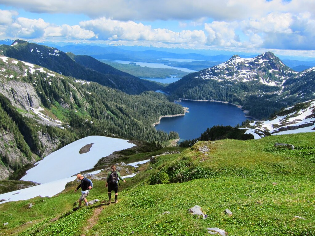
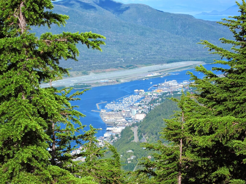
Route: Deer Mountain Traverse (Ketchikan, AK)

Submitted by RedSquirrel on Tue, 10/27/2020 - 04:08pm
Location
Alaska, US
Distance
11.1 mi
Vertical Gain
5,330 ft
Description

Ketchikan, Alaska: a lazy drinking town with a bad fishing problem. Crusty loggers and saltier captains brawling at every bar, and just 30 miles of road to roam on.

Take the highway all the way south and you're at the start (or the finish) of the proudest traverse in the area. Two miles of jogging up a dirt road takes you to lower Silvis lake, a squeeze through the brush brings you to upper Silvis, and then a series of switchbacks gains you the ridge of Mahoney Mountain. If you are lucky and find a day with clear skies the view is incredible, with endless forest and fjords all around you. But the weather can be fickle and being stuck in the great ping pong ball in the sky is always a possibility. They get about 15 feet of rain here per year, so bring a raincoat and be ready for some careful route finding.

A chain of mountaintops piece together alpine all the way back into the center of town. Some steep scrambles exist, aided by hand lines. There are many open spaces to move fast over the narrow trail, and six miles from Deer mountain trailhead sits Blue lake. As you near the end of the ridge Ketchikan comes into view and the final dash down the steep Deer Mountain trail will wreck the strongest runner.

It would be a rare day to not encounter at least a couple of mountain goats on this route. Ravens are constantly soaring the ridge and bald eagles are often perched or off hunting in the trees. Numerous wolf sightings have been made in the area as well, and black bears are quite common.  

GPS Track
Images