Route: Diamond Trail (Daitore)

Submitted by MukimukiRunner on Tue, 03/29/2022 - 06:02pm
Location
Osaka, JP
Nara, JP
Wakayama, JP
Distance
45 km
Vertical Gain
3,400 m
Description

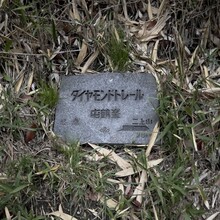
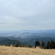
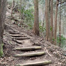
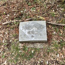
Diamond Trail, also known as Daitore is a long trail that runs across the prefectural borders of Osaka, Nara, and Wakayama Prefecture. The trail is about 45km with roughly 3400 meters of elevation gain and is thought of as being the toughest trail in the Kansai region. The majority of the trail is within a sea of trees with a few plateau​s at the tops of mountains where the trees clear out and you can get some great views of the nearby cities. Throughout the trail, there are shrines and temples you can visit. There are several bathrooms and vending machines along the route but very few spots to get water for unsupported attempts. 

Breakdown: This trail starts at Donzurubo and goes along the Kongo Katsuragi mountain range ending near Mt. Makio at Sefukuji-temple with many side trails that make it easy to take a wrong turn if you do not have a map or a GPS course. 

Traffic: The trail can be busy near the plateaus where there are ropeways. Several events throughout the year take place at the trail and its temples and shrines that bring lots of people. 

Start Point: Daitore Kiten Donzurubo

End Points: Daitore Kiten Sefukuji-temple

GPS Track
Images