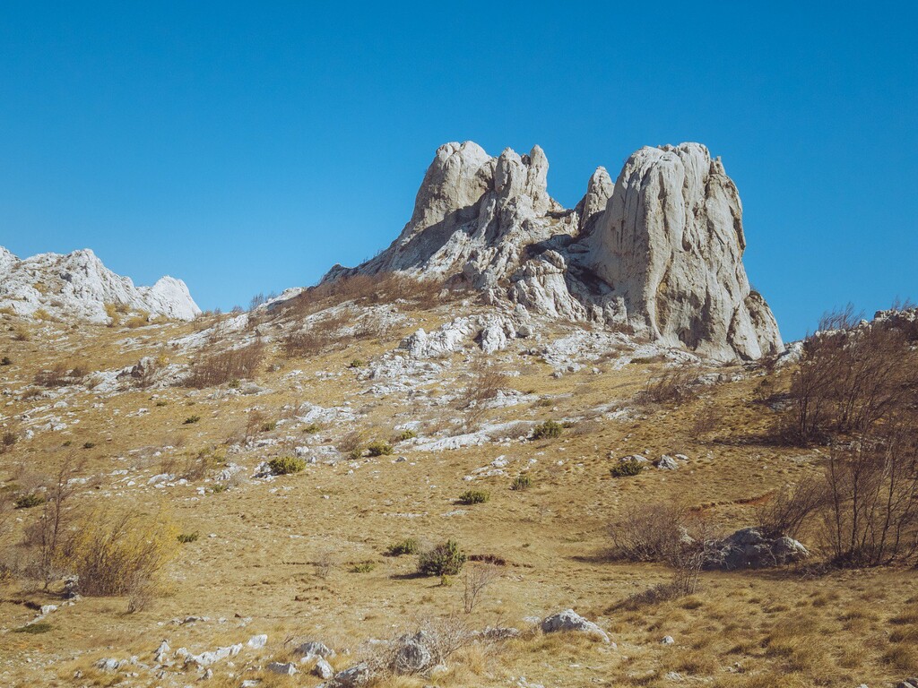
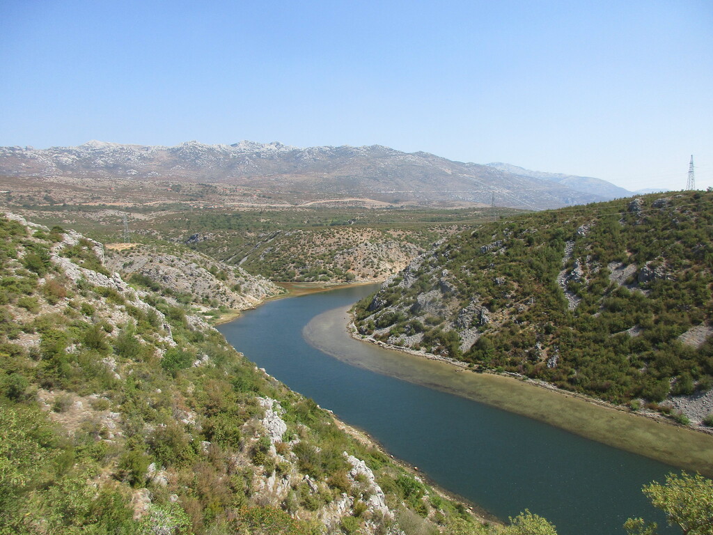
This route begins at sea level in the adriatic town of Starigrad which nestles below the Velebit mountains and tracks inland towards the Bosnian border. First climbing through the steep canyons of Paklenica national park the route crosses the main Velebit range before dropping into the harsher karstic interior. Following mostly paths and trails it skirts the towns of Gracac and Knin before making the ascent of Croatia's highest peak the impressive Dinara (1831m asl) after which the entire Dinaric alps range is named. The trail ends beside the source of the river Cetina at the foot of the mountain Dinara.
The Dinaric Alps are one of the most rugged and extensive mountainous areas of Europe, extending for approximately 645km (400 miles) from the Italy/Slovenia border in the NW to Albania in the south. The Via Dinarica trail is a 1260km mega trail following the natural flow of the Dinaric alps and visiting many of its numerous karstic mountain tops.
More info on the Via Dinarica trail can be found on the trail website: https://trail.viadinarica.com/en/
A more detailed route of this trail in particular (via dinarica, croatia northern section) can be seen on strava here: https://www.strava.com/routes/2757749189718516496