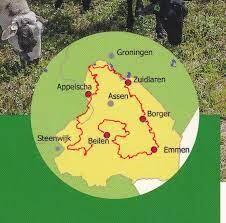
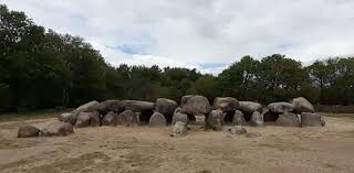
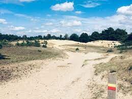
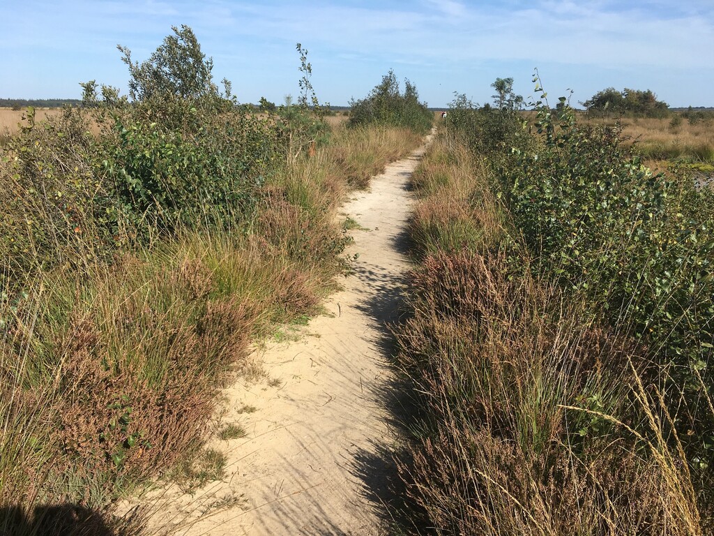
Het Drenthepad is een streekpad, dat bijna alle regio’s van de provincie Drenthe doorkruist. In totaal is het pad is 329 km lang. De etappes lopen onder meer door drie Nationale Parken: het Dwingelderveld, het Drents-Friese Wold en de Drentsche Aa. Onderweg leidt dit traject je langs het mooiste dat de provincie Drenthe te bieden heeft. Zo kom je onder meer langs natuurgebieden, oude boerderijen, hunebedden en zandverstuivingen.
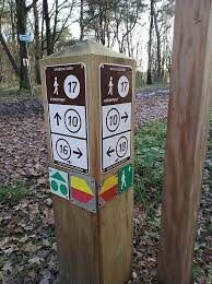
Het pad is opgedeeld in 10 routes, die elk weer uit een aantal etappes bestaan. Hierdoor kan je zelf bepalen waar je start en hoeveel kilometer je loopt. Je kunt etappes opsplitsen of aan elkaar koppelen, afhankelijk van het aantal kilometers dat je wilt lopen. Bovendien liggen de start- en eindpunten van de etappes meestal in een dorp waar een bushalte is, zodat de wandelingen ook per OV goed te bereiken zijn. Je kunt het traject trouwens beide kanten op lopen, met de klok mee of tegen de klok in. De route is vanaf beide kanten gemarkeerd met geel/rode aanwijzingen.
Het GPX-bestand heb ik van www.afstandmeten.nl. Hierbij de link: https://www.afstandmeten.nl/index.php?id=3091442&key=MRTFxVjOipj6I
English:
The Drenthepad is a regional path that crosses almost all regions of the province of Drenthe. In total, the path is 329 km long. The stages pass through three National Parks: the Dwingelderveld, the Drents-Friese Wold and the Drentsche Aa. Along the way, this route leads you past the most beautiful things the province of Drenthe has to offer. You will pass through nature reserves, old farms, dolmens and sand drifts.
The path is divided into 10 sections, each of which consists of a number of stages. This allows you to decide for yourself where you start and how many kilometers you run. You can split or link stages, depending on how many miles you want to run. Moreover, the start and end points of the stages are usually in a village with a bus stop, so that the runs are also easily accessible by public transport. You can run the route in either direction, clockwise or counterclockwise. The route is marked from both sides with yellow/red directions.
I got the GPX file from www.afstandmeten.nl. Hereby the link: https://www.afstandmeten.nl/index.php?id=3091442&key=MRTFxVjOipj6I
Additional links: https://www.wandelnet.nl/wandelroute/537/Drenthepad/overzicht - https://nivon.nl/wandelpaden/drenthepad/


Comments
Tof. Zin in! In de komende maandag zal ik een poging wagen. En uitlopen natuurlijk🥳
Volgende week donderdag, 16 mei, start ik. Zaterdagochtend verwacht ik te finishen💪. Supported
De route is flink gewijzigd en 347km lang nu. Zie voor de laatste versie hun eigen website👍
Welke route is voor het behalen van een FKT leidend?
De route hier op site om het gelijk te houden voor iedereen of de route zoals die daadwerkelijk is als je de bordjes volgt, wat inmiddels 351 is.
Inmiddels is de route 361km