Route: East Fork via Lost Lake

Submitted by New_Mexico_runner on Sun, 07/16/2023 - 02:20pm
Location
New Mexico, US
Distance
13.4 mi
Vertical Gain
2,008 ft
Description

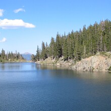
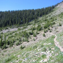
This route begins where New Mexico highway 578 ends and follows forest road 58.  Within a mile the trail crosses the West Fork of the Red River and becomes forest trail 487.  Within another mile the route turns left on forest trail 91 and climbs to beautiful Lost Lake in approximately four miles.  The route continues on for another mile and turns left on forest trail 56, also known as the East Fork Trail.  The route returns back to the same pavement where it departed.  The route is a beautiful alpine setting, passing through aspen groves and approaches the tree line at Lost Lake.  

GPS Track
Images