This loop connects 5 iconic peaks that are East of North Conway in New Hampshire. The mountains are Middle, Peaked, Black Cap, Kearsarge North and Bartlett. All of these mountains are very popular on their own but I have yet to see someone link them all. Although these mountains are not 4000fters, they have great views from the top and one even has a fire tower. This can be a fast loop as there are some road miles and the trails connecting are very runnable. Here is the breakdown for how this loop is run CCW:
Whitaker Woods powerline TH to Green Hills Preserve:
- Park at this lot and cross the street to the trails that lead to the newly paved rail trail by the Cranmore Mountain entrance. Run this rail trail to the Green Hill Preserve TH.
Green Hills Preserve TH to Middle Mountain:
- Straightforward trail once you turn left at the powerlines. Follow this to the junction where you'll turn right to summit Middle Mountain.
Middle to Peaked:
- From Middle, you'll track back to the junction and take the only other trail that leads you to Peaked.
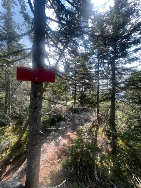
Peaked to Black Cap:
- Coming down Peaked, you'll follow the trail to the right where it will bring you down some slabs. You'll find a sign where you'll take a short trail that will lead you to the Black Cap Connector trail. The Black Cap Connector trail is a very runnable 3 miles that leads to Black Cap Mountain.
Black Cap to Kearsarge North:
- By taking the Black Cap trail down, it will lead you to the mountain bike trails that all pretty much lead to Hurricane Mountain Rd. I did choose the Red Tail Trail to go down because it is the most moderate. It would definitely be faster to just run the road, but that's not any fun, right? From the end of this trail, you will run 1 mile on the road to the Kearsarge North TH. Follow this trail and summit Kearsarge North.
Kearsarge North to Bartlett:
- Coming down Kearsarge North, you'll find a junction by the slabs up top. This is a very easy trail to miss, so be sure to look for it on your way up. This trail will lead you to the summit of Bartlett. It's about .5 miles.
Bartlett to Whitaker Woods Parking lot:
- Finding the trail coming down Bartlett is a little tricky, but there are some white markings on the slabs if you look close enough. The slabs will lead you to a nice trail. Follow it all the way down to the first little bridge and be ready to take a left that will lead you to the Mt Surprise trail. If you hit a second bridge, then you have gone too far. Take a left at the end of this trail and follow the 2 miles of road back to the parking lot.
Good luck!


Comments
Just moved right next to this start/finish. Looks like a really fun loop! Going to give it a shot this weekend if it stays dry!
-Dan W