Location
Ontario,
CA
Distance
20 km
Vertical Gain
144 m
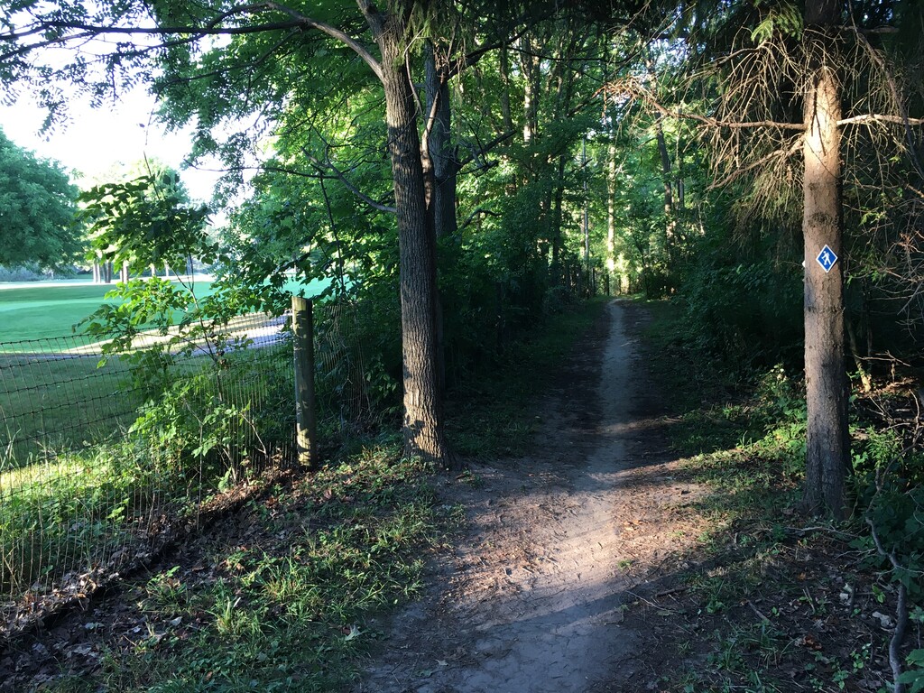
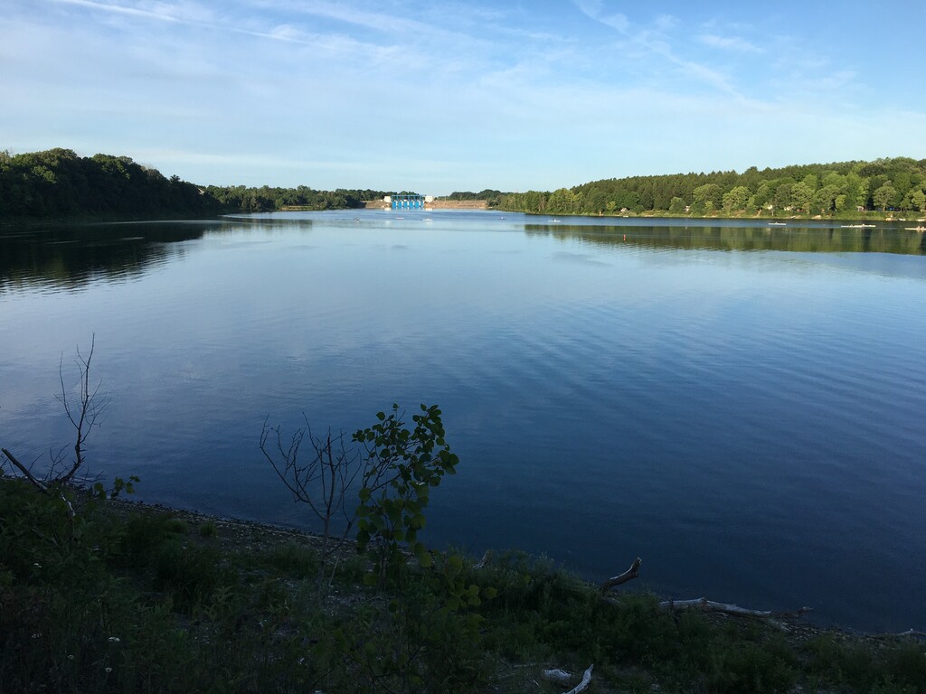
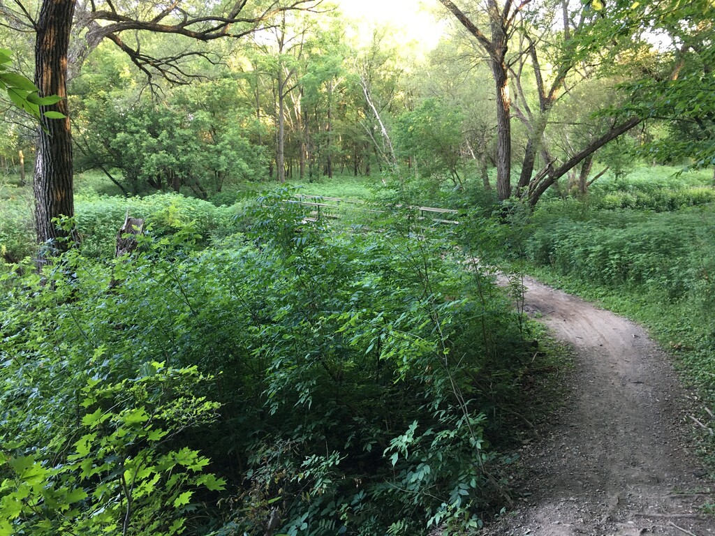
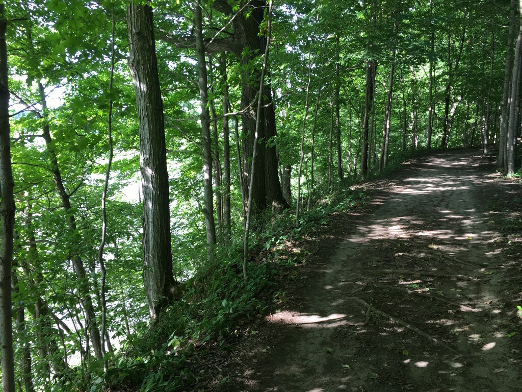
Description
GPS Track
Fanshawe Lake Trail .gpx61.94 KB
FKTs
Male
Female
| Jamieson Hatt | 1h 28m 45s |
| Amanda Nelson | 1h 39m 57s |
| Christine Boose | 1h 52m 4s | ||||
| Christine Boose | 1h 57m 0s |
Images
Comments
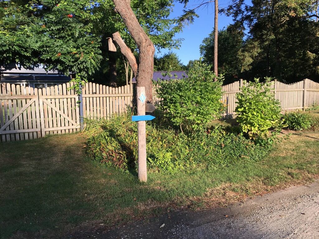
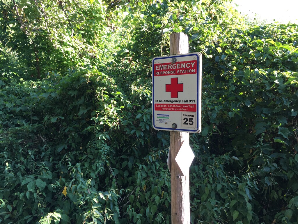
For anyone interested in this route, feel free to use my gpx for an updated(fall of 2024) version. This gpx follows all of the blue blazes, the other main gpx for the route does not. The trail inland off Rebecca Road is blue blazed, so I believe that is the proper way to go. At times there are only blue hiker diamond markings, other times there are only blue blazes. It did not feel right to ignore the blue blazes and stick to a much easier road section that is further away from the lake. There are a couple other differences from my gpx and the one given, but once again mine follows the blue blazes. The other gpx was from 2020 so possibly there has been some changes to this route or the other gpx was not correct in the first place. I hope this makes things clear for others in the future. It is a beautiful trail!