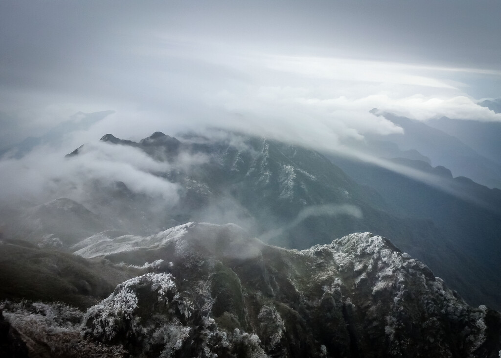
Route: Fansipan

Submitted by piotrbabis on Tue, 10/25/2022 - 04:54pm
Location
Lai Chau Province, VN
Distance
15.5 km
Vertical Gain
1,650 m
Description

At 3147 m above the sea level it  is the highest mountain in the Indochinese Peninsula, hence its nickname "the Roof of Indochina".

This is most direct, out and back route. It is steep and  fairly strenuous with muddy sections. It is also a subject to frost and snow.

The track might require a permit and/ or a guide. Sadly there is now a cable car going up the mountain. 

GPS Track
Images