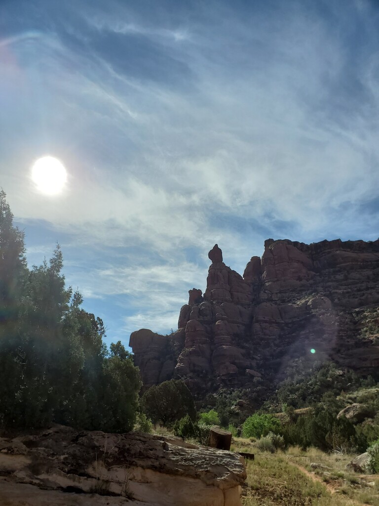
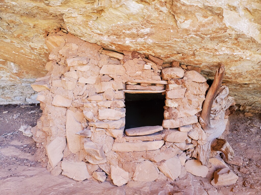
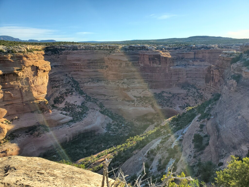
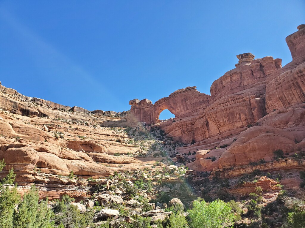
Fish and Owl Canyons Loop is an amazing canyon route that will take you down some epic slab, through some challenging bushwhacking, past deep pour-offs, below the impressive Neville’s Arch, and right along some ancient canyon dwellings. It is a far “beyond ordinary” day out! Well worth your effort.
Description adapted from HikingProject:
This loop route can be done in either direction, depending on what you'd like to see first and what you may want to save for last. The description here heads down Fish Canyon and back up Owl Canyon.
The trail to Fish Creek starts in the parking lot and meanders through a piñon and juniper forest for about 1.7 miles to the canyon rim. Follow the few cairns that exist to begin your drop into the canyon. At a 15-foot drop, you’ll scramble down the rocks. In 2020, a thin flimsy rope was in place, opted to just downclimb instead.
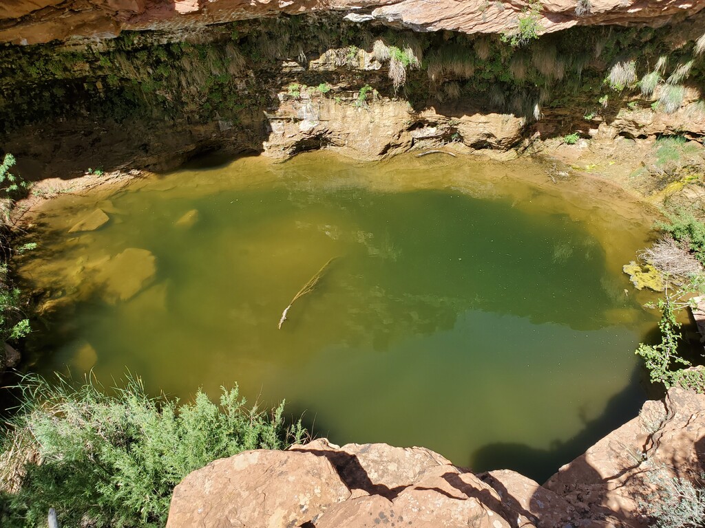
Throughout the entire outing, cairns seemed to have been placed to let you know whether you had made the correct turn, rather than to guide you. This area is no exception and the route down to the canyon bottom and the creek is difficult to follow. In addition, there is lots of loose rock, dirt and scree, so be careful. In about two miles, you’ll reach the canyon floor. The trail, which is still poorly marked, follows the creek for the most part, except when it skirts pour-offs.
In 2020, there was water in Fish Creek for the first couple of miles, then a dry area, and then water all the way until the final half mile before the confluence. This will vary and be sure to check with the Ranger Station, if you are planning on refilling en route.
Continue on for 11 miles, heading down the rest of Fish Canyon. You'll meet a confluence where the two canyons join, and this marks the turning point. It will feel like you're making a right, and you'll head up Owl Canyon until the spot where the climbing begins. The first several miles of Owl Canyon are without water – you’ll have to reach at least Neville’s Arch before finding any.
Owl Canyon becomes very difficult as you begin the climb out. There is a lot of loose rock, many boulders to navigate, and sharp detours to avoid pour-offs. Pay attention to the few cairns that are there, but it is also good to have a compass and map at this point to make sure you don’t accidentally head into a side canyon.
By all accounts, the ascent should be two miles long (the loop is supposed to be 17.1 miles, though many track at 19 - 21 miles). Once at the top, follow the slickrock back to the parking lot, a quarter of a mile away
The BLM Notes: Fish and Owl Canyons should not be attempted by inexperienced or novice hikers.
And VisitUtah.com includes the following:
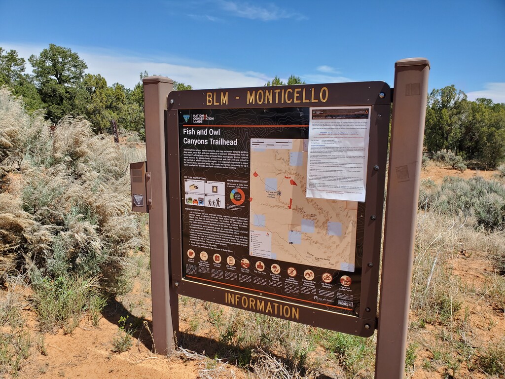
Finding the trailhead: From Highway 95 east of Natural Bridges National Monument and west of Blanding, drive south on Highway 261. In about 4 miles you pass the Kane Gulch Ranger Station. Drive another mile and turn left onto CR 253. After about 5 miles on this road, you arrive at the parking area and trailhead at a reclaimed drill hole.
Trailhead GPS coordinates: 37.474142, -109.818134
For Further Research:
https://www.visitutah.com/things-to-do/backpacking/canyon-country-southern-utah/owl-fish-creek-cedar-mesa/
https://edit.blm.gov/sites/blm.gov/files/uploads/Fish%20and%20Owl%20canyon%20brochure.pdf
https://www.hikingproject.com/trail/7030383/fish-and-owl-canyon-loop-route
https://www.youtube.com/watch?v=eJOZyezDEIw
https://www.youtube.com/watch?v=4c1sWM7vowo
~submitted by Jason Hardrath