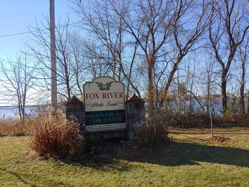
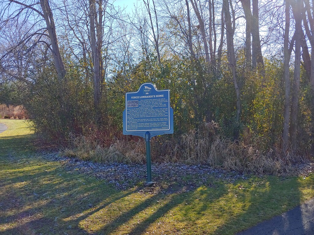
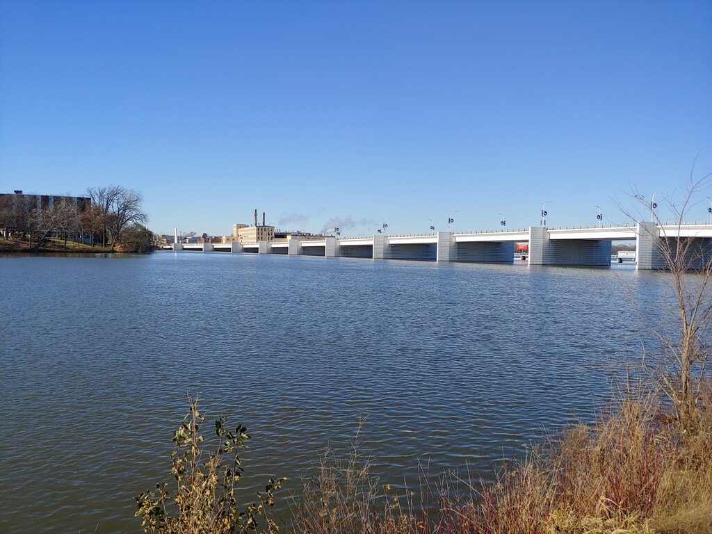
The north trailhead of the Fox River State Trail is in Green Bay at the intersection of Porlier Street and Adams Street, this is just south of the Mason Street Bridge. At the north trailhead there is a very large decorative sign that says “Fox River State Trail”. This is on the edge of the Fox River near Porlier Pier. Heading south from Porlier Street the trail hugs the Fox River and is adjacent to homes, city parks, and businesses. It feels far more urban than the rest of the route. This stretch also has a number of historical markers along the trail. Immediately after crossing from the west side of Hwy 32 to the east side the route goes directly through a newer industrial area. There are no farms noticeable until about mile 8, after the trail turns away from the river in De Pere. The trail parallels Hwy 32 for the bulk of the course.
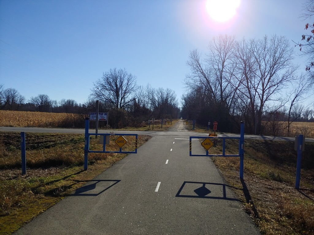
The north end of the trail is paved for approximately 11 miles. The southern 14 miles is crushed gravel. The further south one travels along the trail the more rural it feels. The views include farms and fields. It is a great taste of rural Wisconsin. The only large landmark of note is the grain silos in Greenleaf, WI.
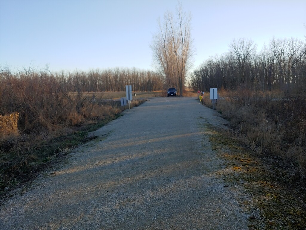
The southern terminus is at Ott Rd. in Hilbert, WI. There is no parking here, but the trail does not continue south beyond this point. This trailhead is between Irish Rd. and Hwy 32.
Along the route there are some accommodations of note for runners. There are at least five separate public bathroom facilities, and those in Green Bay and De Pere were open in November. Most of these easy stops were along the northern leg of the trail, but there was also a nice rest area in Greenleaf, WI.