Location
California,
US
Distance
2.6 mi
Description
GPS Track
Fryman Canyon Trail_0.gpx107.62 KB
FKTs
Male
| Scott Munson | 18m 16s | ||||
| Matthew Accornero | 20m 45s | ||||
| Kipley Fiebig | 20m 47s |
Male
| Michael Kwok | 44m 6s |
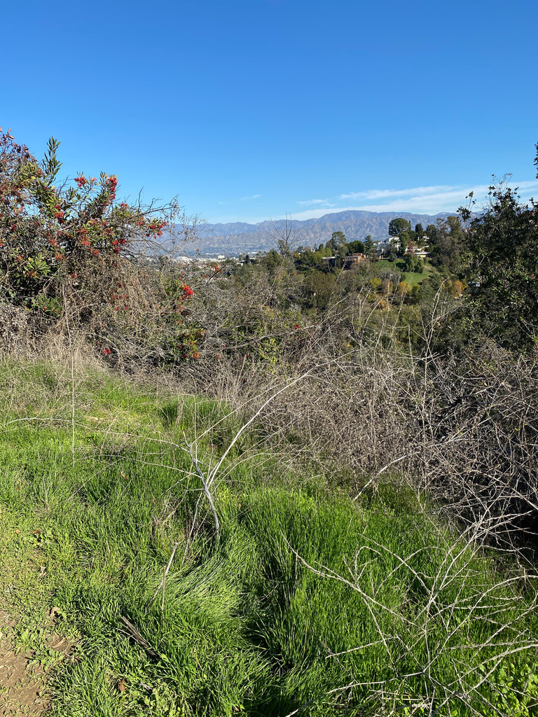
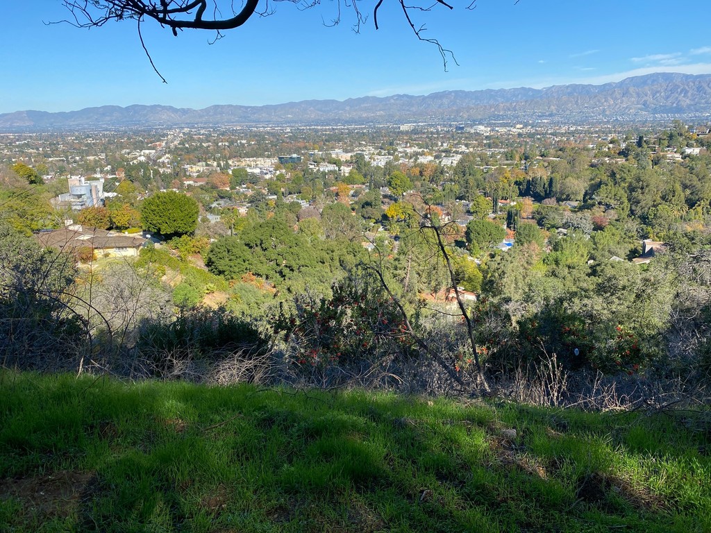
Images