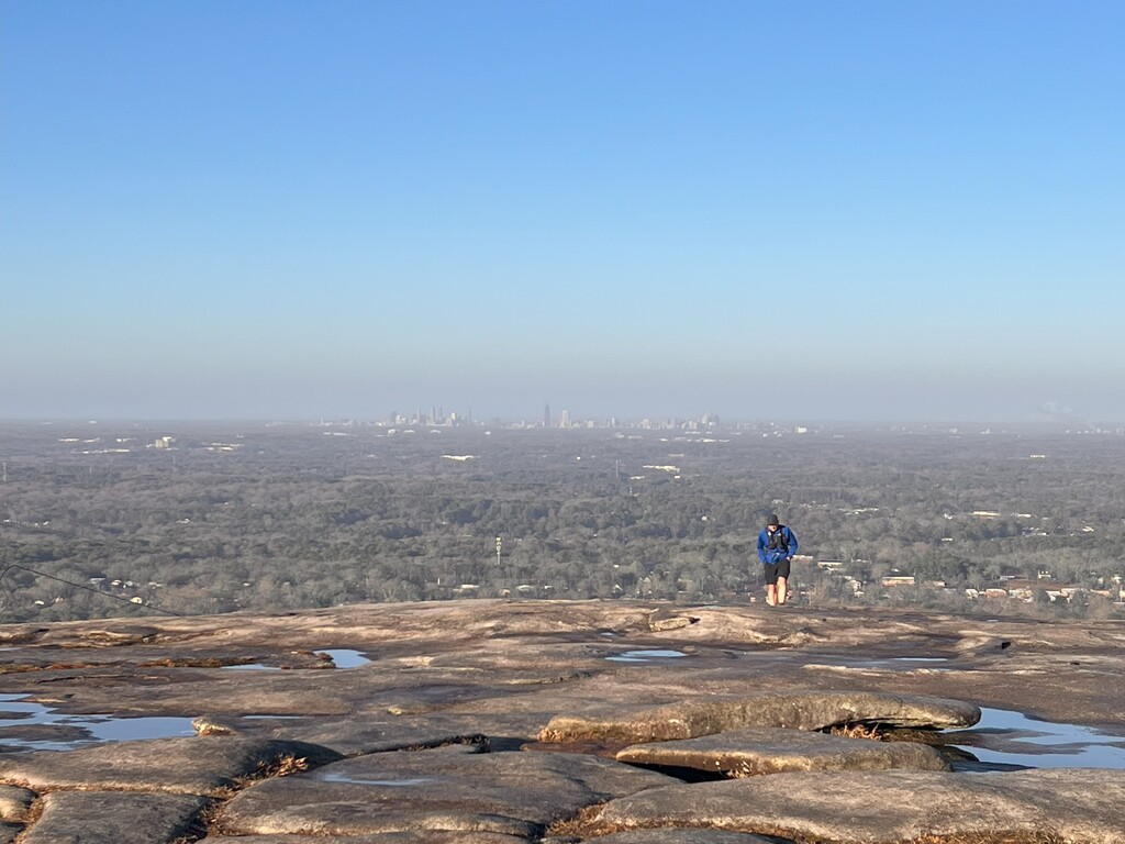
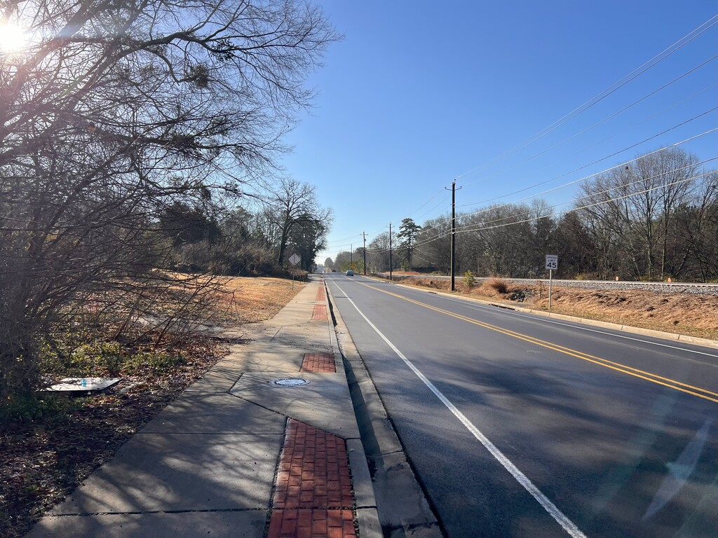
A monadnock is an isolated rock hill that rises from a flat area. Georgia is home to 3 monadnocks. This route uses sidewalks and biking paths to connect Stone Mountain to Panola Mountain and then on to Arabia Mountain. It is an urban route with 12 miles of sidewalks, 8 miles of paved bike paths, and 6 miles on the monadnocks themselves. The route begins where the Walk Up Trail crosses the railroad at Stone Mountain. It ends at the walk-through trailhead gable near the AWARE Wildlife Center at Arabia Mountain.
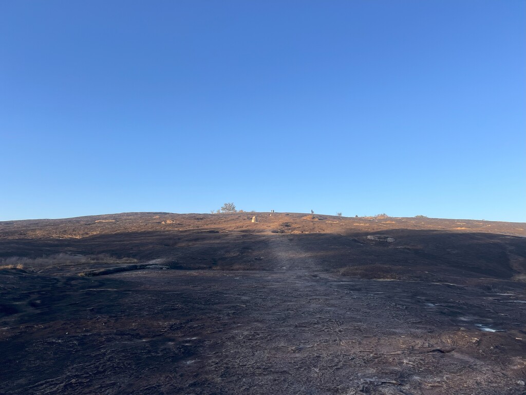
The summits of both Stone Mountain and Arabia Mountain are touched on this route. The summit of Panola Mountain is closed to the public but is viewable along this route from a viewing platform inside Panola Mountain State Park. The three objectives along this route are: the summit marker of Stone Mountain (1686'), the viewing platform for Panola Mountain inside Panola Mountain State Park (820'), and the summit of Arabia Mountain (933'). Do not be fooled by the nearby summit of Bradley Mountain which must be passed over to get to Arabia Mountain!
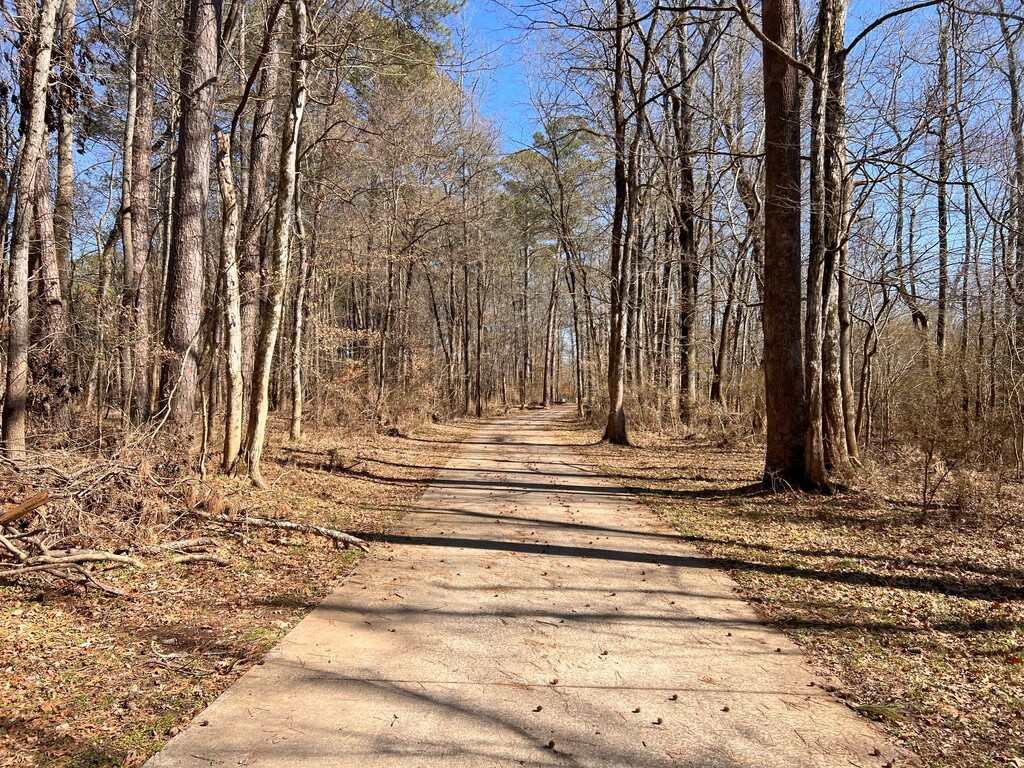
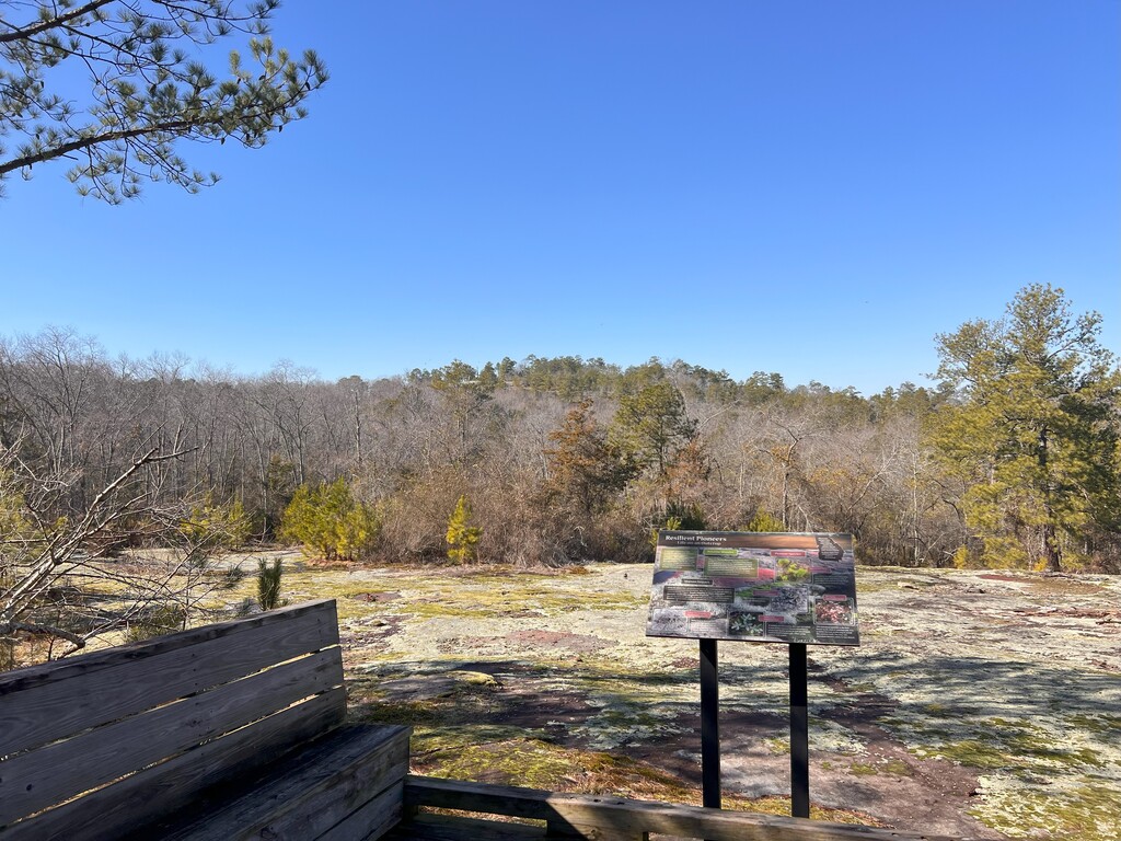
Besides the monadnocks, this route passes through the town of Stone Mountain and the unincorporated community of Redan. It meets the South River at Panola Shoals and gains the South River Trail there. The South River Trail is a paved bike path through historic farmsteads that leads into the Arabia Mountain National Heritage Area. The short out-and-back portion of the route goes into Panola Mountain State Park and onto a wooden viewing platform from which Panola Mountain can be viewed. After crossing Stephens Creek on a covered bridge, it passes through neighborhoods on the way to the Arabia Mountain trailhead and the finish.