The Georgia Scoop pays homage to the Georgia Loop that we all know and love. However, this is on a Whole different level!!
We tracked 85 miles and 23,000 ft. of elevation gain.
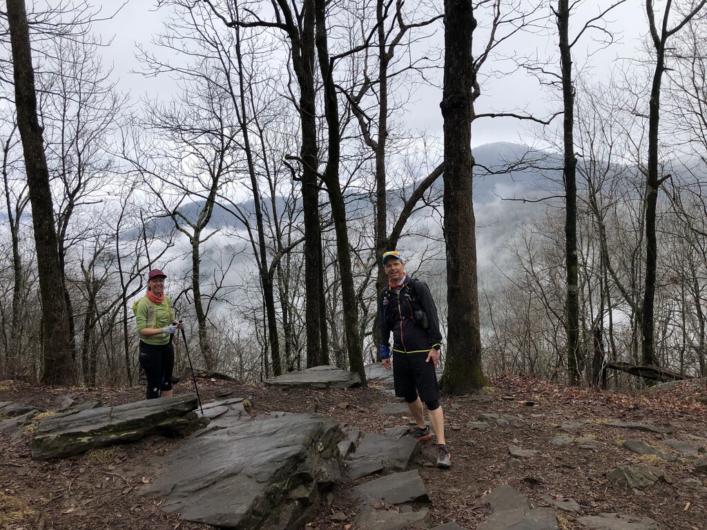
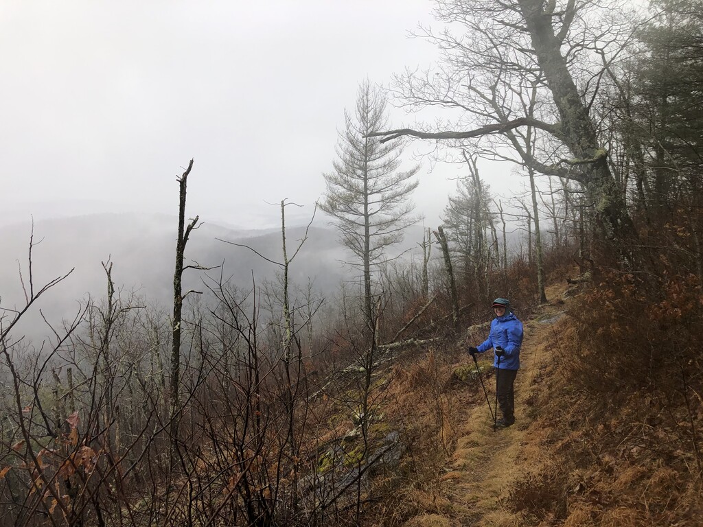
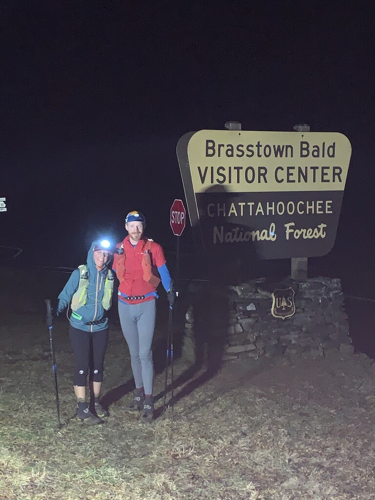
This is an Incredibly difficult point to point route linking 5 trails, made up of only trail, and ending on top of the highest peak in Georgia! The Scoop is a Beautiful epic tour of North Georgia trail running including 3 of Georgia’s highest and hardest peaks. There are waterfalls, overlooks, green tunnels, and plenty of extremely rugged terrain. The “Dragon Spine” will light your legs on fire, the Gnarly descent off of Blood Mtn. on battered legs and feet will hurt you, and the never ending ascent up Brasstown Bald at mile 82ish will absolutely mess with your mind.
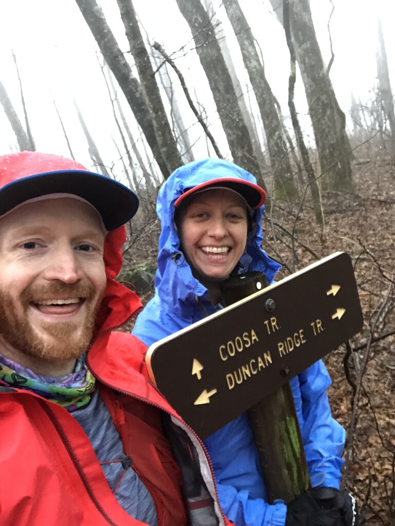
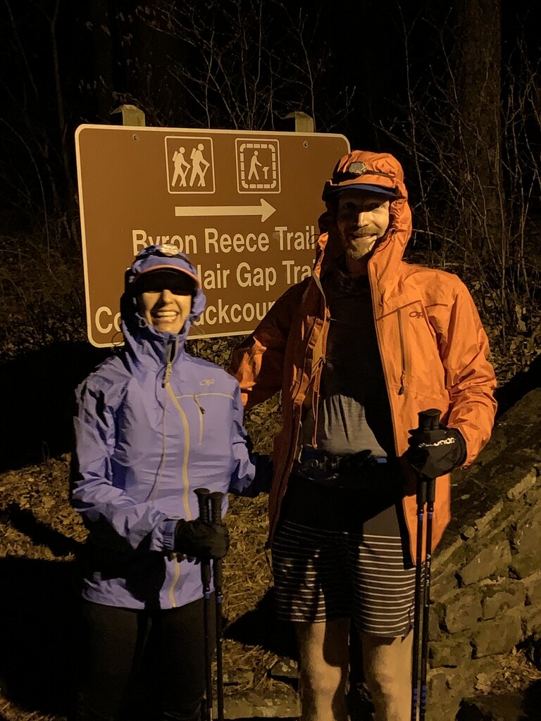
The route begins at the bottom of the stone stairs in Vogel state park touching the sign for the Byron Reece, Bear Hair Gap, and Coosa Backcountry trail heads. You will then head up the stairs and follow the trail to the Coosa Backcountry trail (CCW) towards the Duncan Ridge trail. Take the DRT towards, up and Over Coosa Bald. Stay on the DRT (we followed the older blazes of the “Dragon Spine”) until the Intersection with the Benton Mackaye trail. From there you continue straight on the BMT/DRT heading towards the Toccoa river swinging bridge. Follow the BMT until the intersection with the AT at Three Forks. From there you take the AT north and continue on the AT until Chattahoochee Gap. At Chattahoochee Gap you will turn onto Jack’s Knob Trail and continue on that trail to the upper parking lot of Brasstown Bald. Then you must continue to the end of the parking lot and up the 1 mile walking trail to the top of Brasstown Bald and up the stairs to the Observation Platform. The Route officially ends when you touch the sign at the top of the stairs that says “Vandalism & Graffiti Prohibited by Law” on top of the observation platform.
It is our desire to create a Pay it Froward tradition for the GA Scoop. After one has (finally) completed the Scoop, you will then try and find someone else that wants to do it, and help them complete it as well.
If you have ever done the GA Loop, this route is for you. If you have completed Pitchell, this route is for you. If you have done The AT in GA, this route is for you. If you are just looking for an amazing, beautiful, extremely difficult all trail route in GA, it’s for you! However I would mention, do not to take it lightly, it Will test you!! Please plan, prepare, and stay safe!