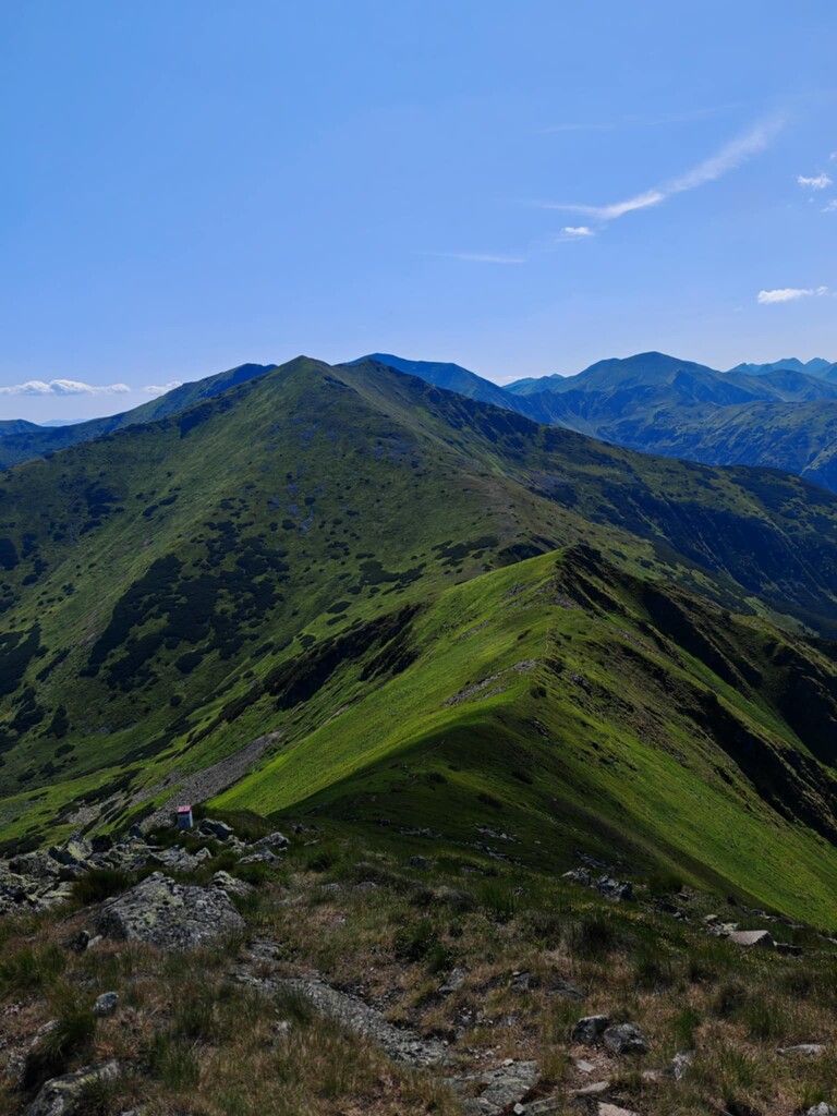
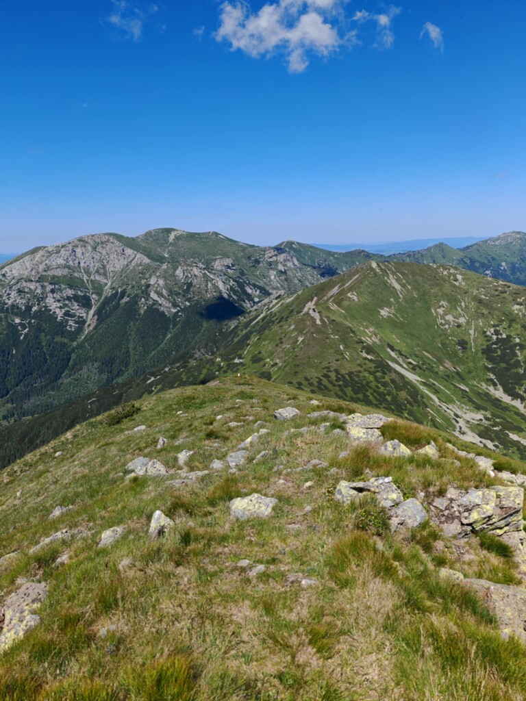
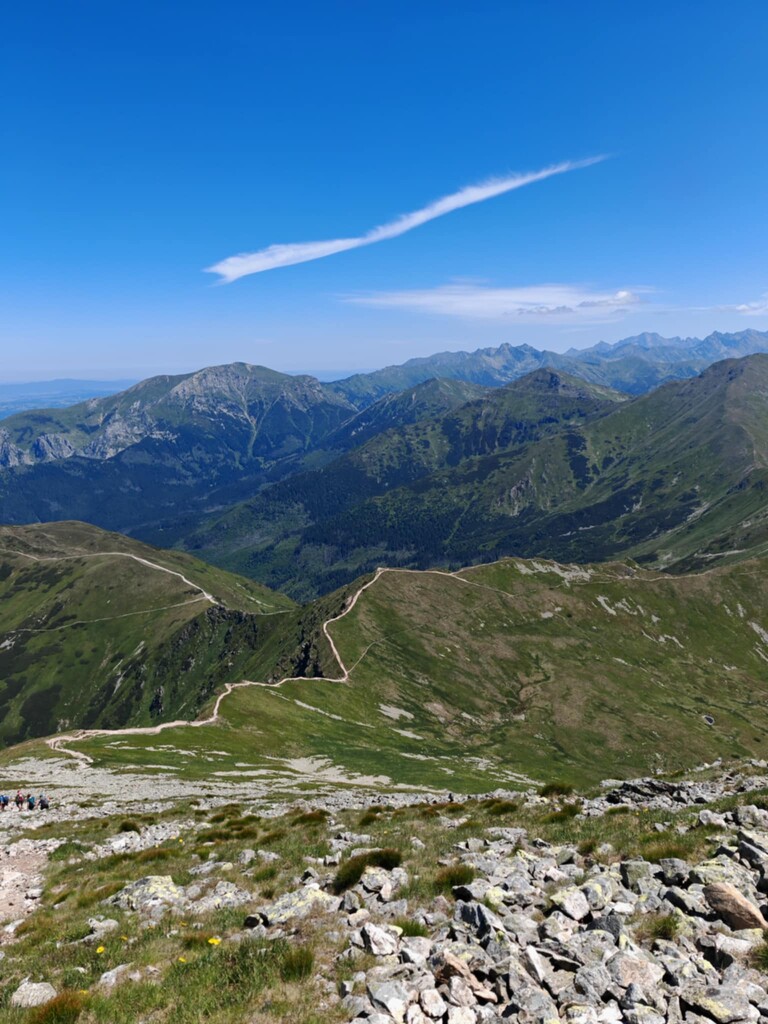
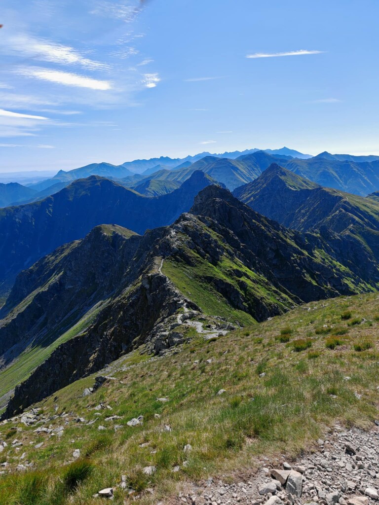
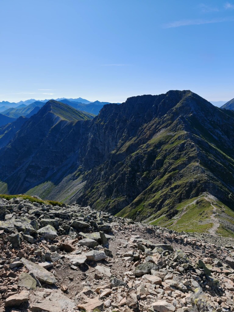
Location
Poland
Distance
45 km
Vertical Gain
5,500 m
Description
GPS Track
GGTZ.gpx15.21 MB
FKTs
Male
| Jacek Gaczkowski | 14h 19m 24s |
Images

Comments
Wojciech Czarny - czas 10:00 - ominięcia: Rohacz Płaczliwy, Łopata, Błyszcz, Smreczyński Wierch
https://strava.app.link/aI1YwLA5uVb
Łukasz Zdanowski - czas 11:40 + Kamil Grudzień - czas 12:00 - ominięcia: Łopata, Smreczyński Wierch
https://8a.pl/8academy/biegiem-przez-glowna-gran-tatr-zachodnich/