GR129: Right Through Belgium
The GR129 is the longest hiking route in Belgium which starts in the magical city of Bruges in the northwestern part of Belgium. From there, the 570 km long path will take you to the southeastern corner of Belgium, called Arlon. In the past a TV program was made for Belgian television in which a TV presenter filmed his hike.
The GR129 is divided into three pieces:
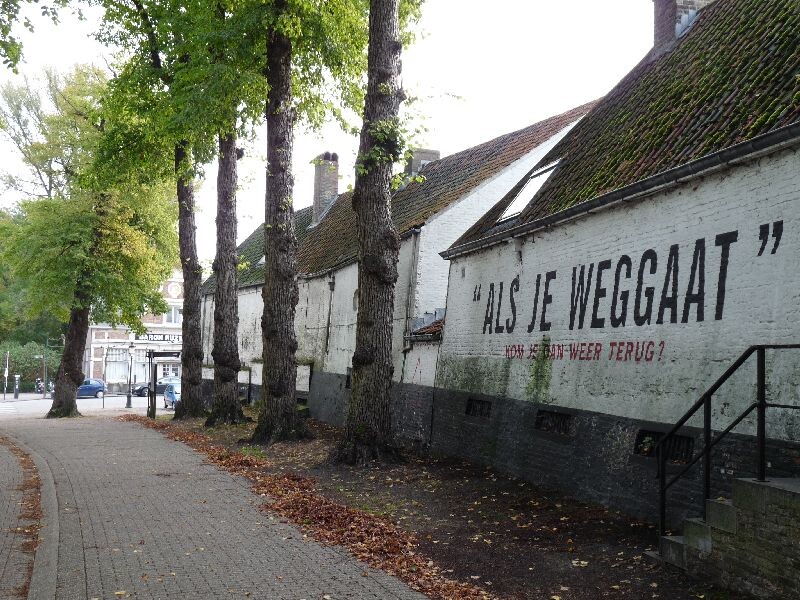
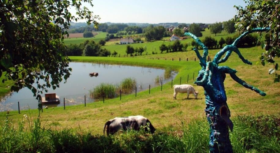
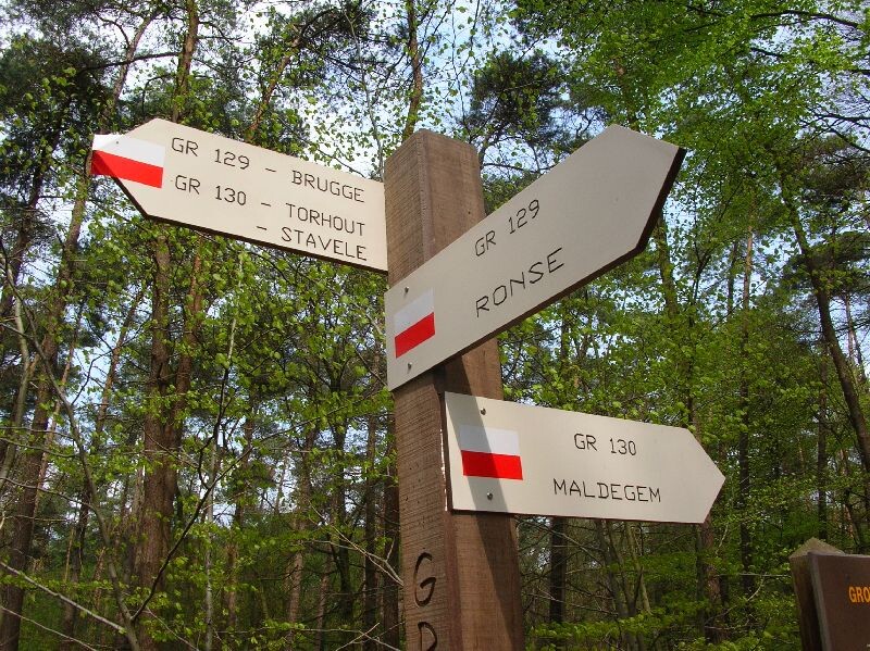
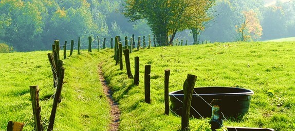
The first section takes part in the Flemish region of Belgium. You start near the Minnewater in Bruges and from there on run towards the Assebroekse Meersen through flat green paths. After this point it is a variation of forests and fields that will last for about 85k. Even though it sounds monotonous, the castles & windmills along the way will offer you enough scenery. After crossing the Leievallei you will run towards Oudenaarde where the first elevation gain will be made. This also preludes the last half marathon in Flanders, which will end in Ronse where you cross the border with Wallonia.
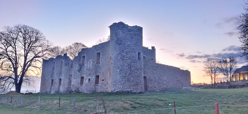
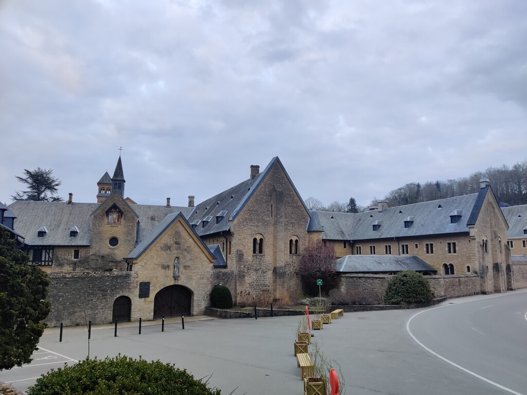
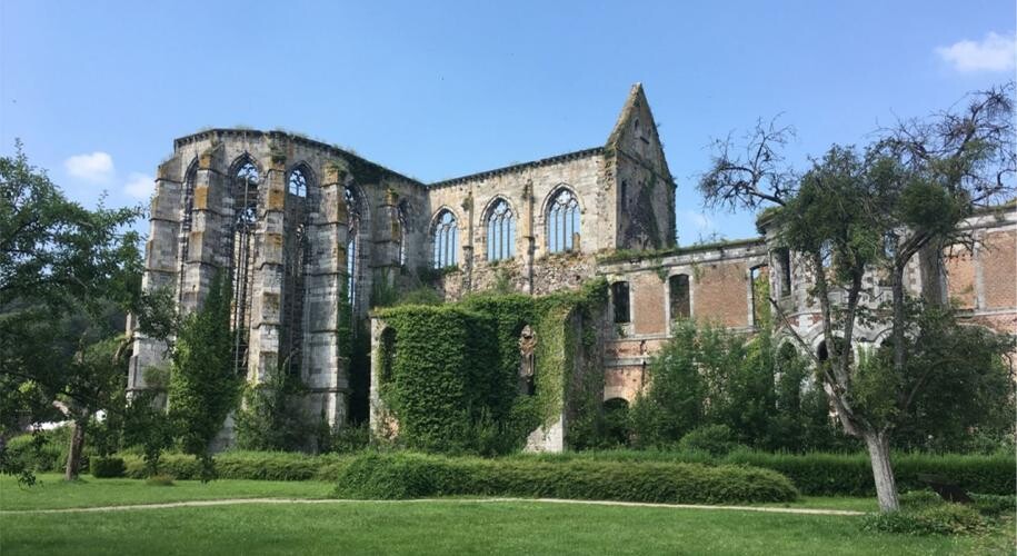
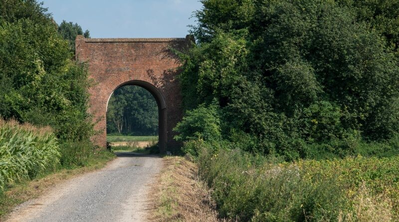
The second section starts with Ellezelles which is known as the village of witches. Asphalt tracks take you to Ath where the Dender river has its source. Mons will be the next big city and you'll run straight through its little streets while checking out their cathedral and belfry. The asphalt tracks will stop behind this point and you'll return to green countryland along the ruin of Aulne and the abbeys of Madredet and Maredsous. The second section will end in the city of Dinant after crossing the Maasvallei. You'll first run in the forest around Dinant and after a drop of 100m you'll pass the center of city.
The last section is known as the most hilly section. Although it is the longest section (250k), the only big city you'll see will be at the finish. The endless paths along the Lesse river will guide you to the picturesque Florenville. After a stretch of 50km you'll reach the brewery of the famous Orval beer. This will also be the most southern part of the route. After this you'll flirt with the French border and head up North toward the end of the trail: the source of the Semois river in Arlon.
Some very interesting websites about this phenomenal route:
http://www.trekkings.be/gr129-dwars-door-belgie.html
https://www.groteroutepaden.be/nl/gr-129-dwars-door-belgie
https://www.groteroutepaden.be/nl/gr-129-la-belgique-en-diagonale--ellezelles-dinant-route
https://www.groteroutepaden.be/nl/gr-129-la-belgique-en-diagonale--dinant-arlon-route
Editor: In 2023 the route was updated and is now 12 km longer, FKT therefore have a new variant of the route based on this. Both old and new gpx is available and shown on the map for comparison. There are numerous small sections that have changed but also a few major changes in Flanders and south of Charleroi. Thanks to Teun Geurts for the update.
Comments
Thoma, very well done mate! The GR129 is a heavy one, I can confirm 'cause I did this route two weeks later (17.4-26.4) in 9d 12h 1m 2s.
I am planning a self-supported attempt on the GR 129 and noticed there's been several major changes to the route. It is now around 570 kilometers long. I've sent fastestknowntime the new gpx-file. It can also be found on the groteroutepaden.be. I'll start my attempt on May 14 and will check for the latest updates and temporary detours nearer the date.
Thanks for the update, indeed significant changes in some places. We made a new variation to the route based on the new gpx. Best of luck.
Cheers
Torben
Thanks Torben