Route Description – GR®38 : The small Breton Appalachian Trail !
The GR®38 in Brittany (France) is a long-distance hiking trail spanning approximately 360 km with 4,700 m of elevation gain, crossing the Morbihan and Finistère departments. If the GR®38 finishes its way at the Atlantic Ocean, it is less known than the famous coastal path GR®34.
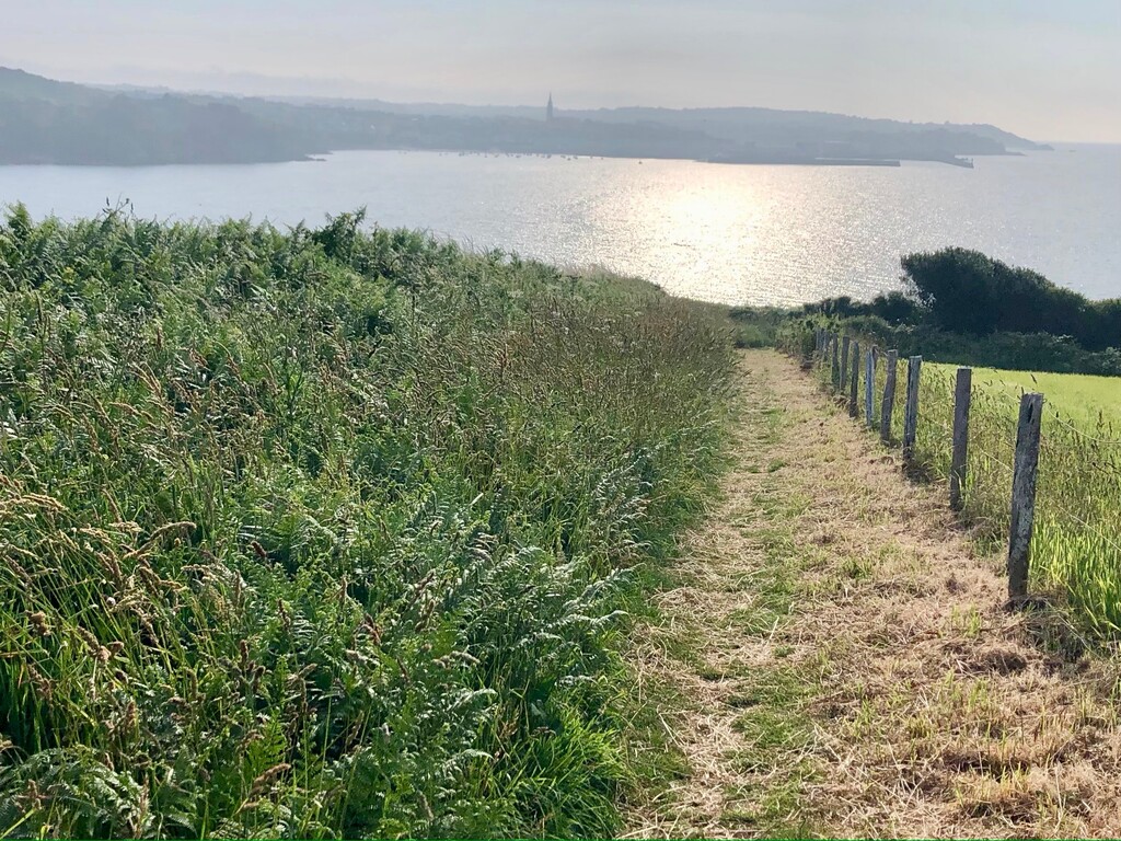
The GR®38 route explores, east to west (or vice versa), the southern part of Brittany from a purely rural point of view, a distance from the sea.
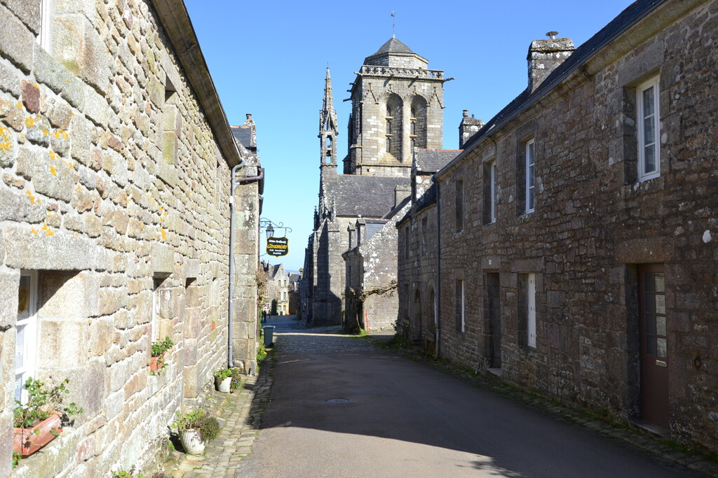
The trail offers a genuine discovery of picturesque villages linked by wild paths (« les chemins creux ») in deep countryside or dense ancestral forests. Among them one can discover witnesses of a tremendous history from neolithic period stone age to vicissitude of the WWII, including reminiscence of the medieval era or the revolutionary conflicts (« La Chouannerie »).
Menhirs, dolmens, chapels, granite calvaries and castles reflect the Breton soul, everywhere.
The GR®38 route spine is formed by « Les Landes de Lanvaux », a 70 km long rocky hill in the Morbihan department which geological facies with summit schist ridges lead to call it « L’Armorique appalachienne ».
Beginning in the city of Redon (Ille-et-vilaine) in the east, the GR®38 ends in the west in the Douarnenez Bay (Finistère) where legend places the city of Ys, the Breton Atlantis !
In 2025, Bretagne Magazine describes in several pages this hidden gem.
The GR®38 is managed by the French Hiking Federation (FFRandonnée), sign-posted with white-and-red waymarks and is ideal for hikers or runners who want to get off the beaten tracks ! (GPS Track - Source MonGR® - FFRandonnée)