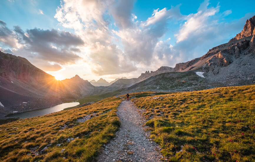
The GR 56: an exceptional hike in Ubaye
A beautiful route around Barcelonnette, from mountain huts to lodges, and from flower-filled mountain pastures to high peaks. 155 kilometers to explore the magnificent Ubaye Valley and its incredible variety of panoramas. Between valleys, ridges, and peaks, the route totals more than 8,000 meters of elevation gain.
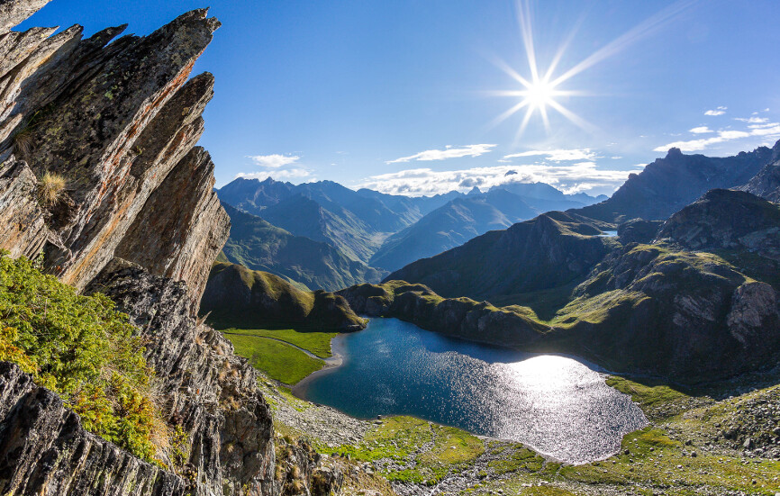
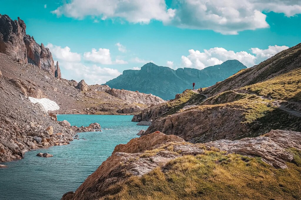
The GR 56 route begins in the small village of Méolans Revel and winds along both sides of the Ubaye River. Mountainside trails, wooded passages, rocky paths, and vast mountain pastures take hikers to the most beautiful sites in the Ubaye Valley, from the Laverq valley to the Allos, Colombart, and Mallemort passes, passing by the high-altitude lakes of Cayolle and Lauzanier, and the authentic village of Fouillouse.
The GR®56 – Tour de l’Ubaye crosses several exceptional natural areas, including the remarkable Mercantour National Park. A preserved natural environment in which the most emblematic species of the Alps discreetly evolve. While the first part of this GR allows you to fully appreciate the exceptional natural setting of the Ubaye Valley, traveling the Tour de l’Ubaye is also an opportunity to discover a whole section of the valley’s history. Along the way, the Viraysse battery and the impressive Tournoux fort are among the architectural witnesses of its military past.