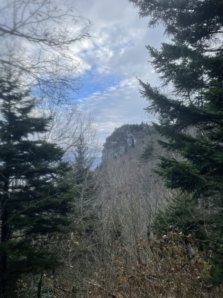
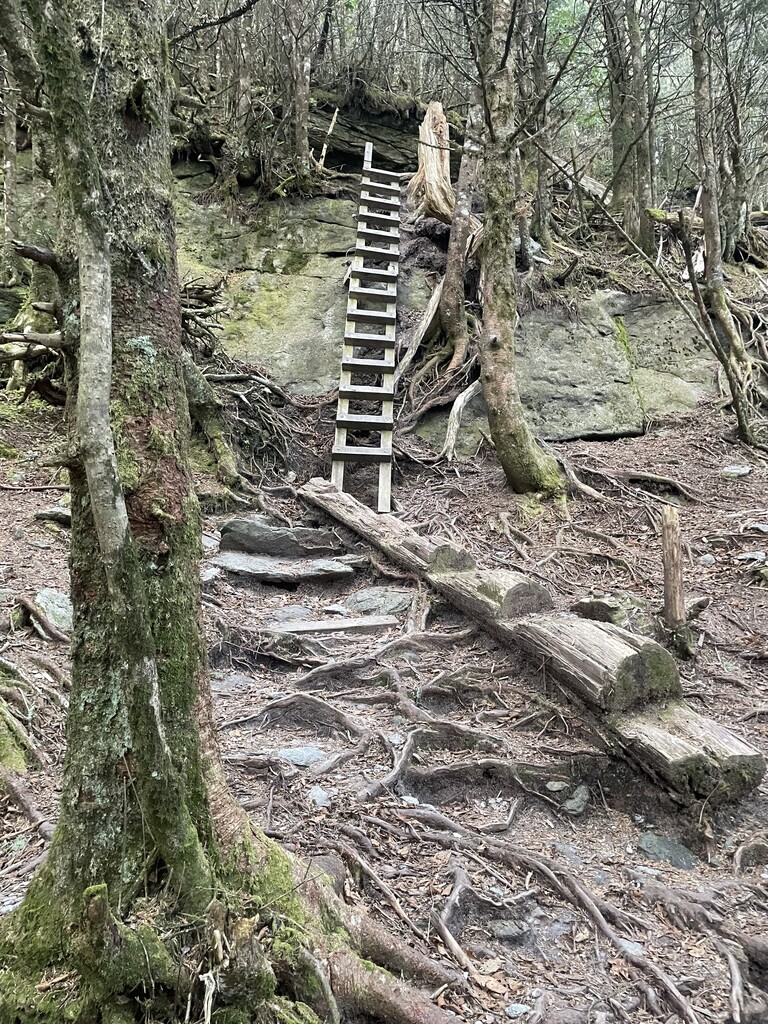
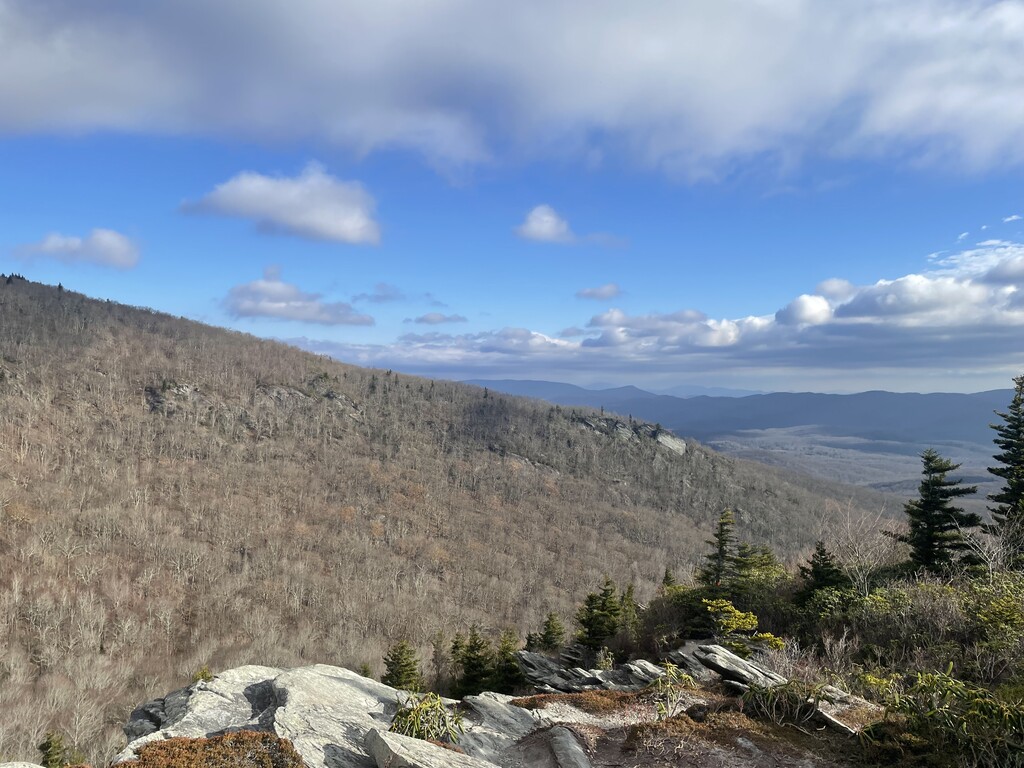
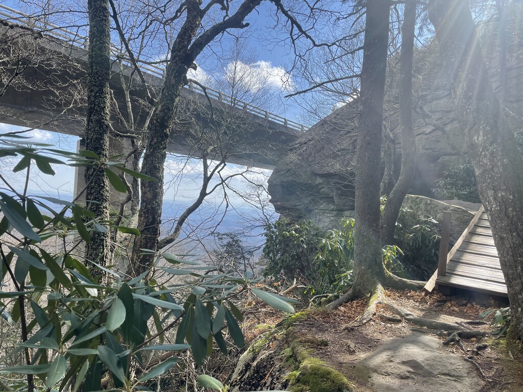
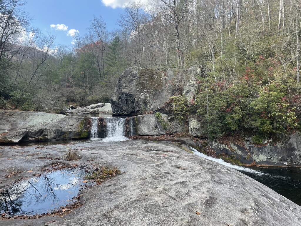
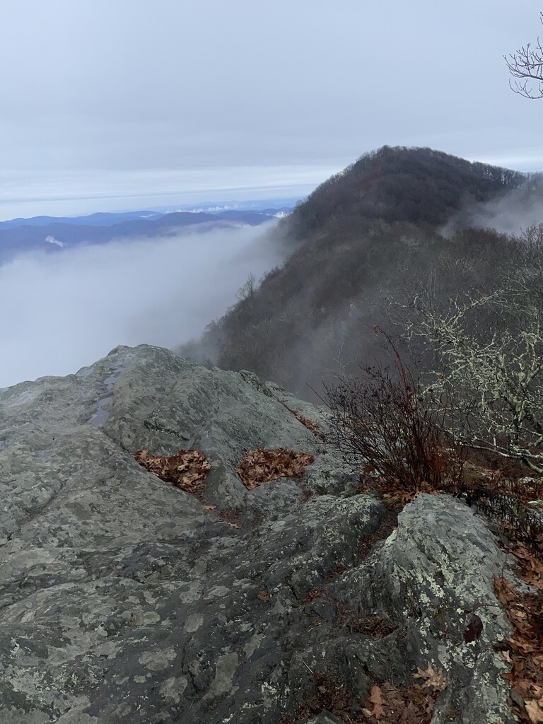
This route is approximately 200 miles with roughly 50k of elevation gain. It starts on the Profile Trail in Seven Devils, NC. You will follow that up to the Grandfather Trail where you’ll get amazing views on Calloway Peak. You’ll follow the Grandfather Trail to the Daniel Boone Scout Trail. This will drop you down little to the Cragway Trail where you’ll get more amazing views. The Cragway Trail will lead you to the Nuwati Trail which takes you to the Tanawha Trail (Mountains to Sea Trail). The Tanawha Trail takes you past the famous Linn Cove Viaduct and Rough Ridge where you’ll get more amazing views. The Tanawha Trail ends at Beacon Heights and continues on as The Mountains to Sea Trail, which you’ll follow for most of the run. Next, you’ll go through the Wilson Creek area where the majority of the water crossings are. After you cross Hwy181, you’ll enter the Steele’s Creek area followed by your first big climb up to Table Rock summit. You’ll summit Table Rock then drop down to the parking area. Then you’ll go through the the Chimneys and Shortoff. You’ll drop down to the Linville River your last major water crossing and have your next big climb up to Pinnacle. Changing shoes after this point is highly recommended. The next section is Dobson Knob/Bald Knob. this looks great on paper but is a pretty rough descent on the ridge. You’ll drop down to Hwy 221 where you’ll cross and continue onto the Woods Mountain section. This section has your next big climb and several other shorter climbs and is about 12 miles long and ends at Hwy 80. From there, you have about 7 miles to the Black Mountain Campground. From there, you’ll take the Mount Mitchell trail up to the summit of Mount Mitchell. You’ll summit, then come back down and continue on the Mountains to Sea trail. You’ll follow this trail for the next 60ish miles passing through Craggy Gardens and descending past Rattlesnake Lodge. Going through Asheville past the Folk Art Center is fairly runnable if you have legs. Then you’ll get on the Shut In section, approximately 17 miles up to the Mount Pisgah parking lot. You’ll summit Mount Pisgah then come back down, continuing on the Mountains to Sea Trail. This will take you past the Pisgah Inn, where there’s an amazing view of Looking Glass Rock. You’ll pass Graveyard Fields and Black Balsam. From Black Balam, you’ll continue onto the Art Loeb Trail. You’ll drop down, then have your last big climb up to Pilot Mountain with about 14 miles left to go. From there, it’s a start up and down until you finally end up at the Davidson River Campground!