Location
Arizona,
US
California,
US
Oregon,
US
Washington,
US
Idaho,
US
Montana,
US
Wyoming,
US
Colorado,
US
New Mexico,
US
Distance
6,900 mi
Description
36.1058389, -112.0946583
FKTs
Male
| Jeff Garmire | 208d 15h 0m 0s |
| Andrew Skurka | 213d 6h 0m 0s |
Images


Comments
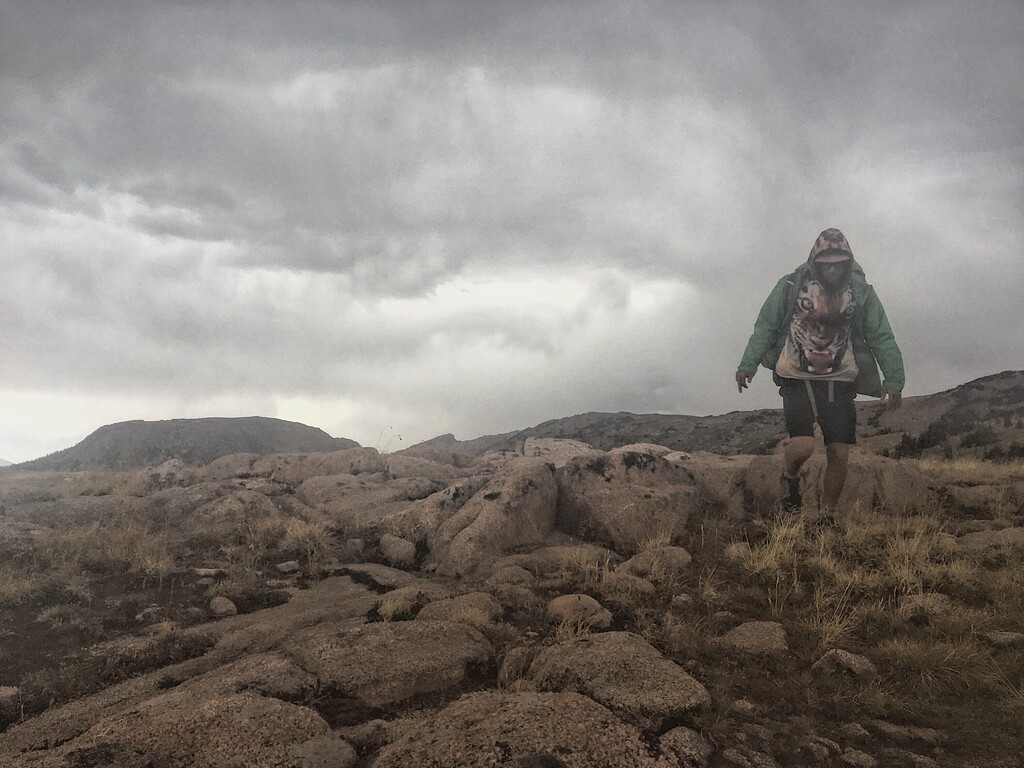
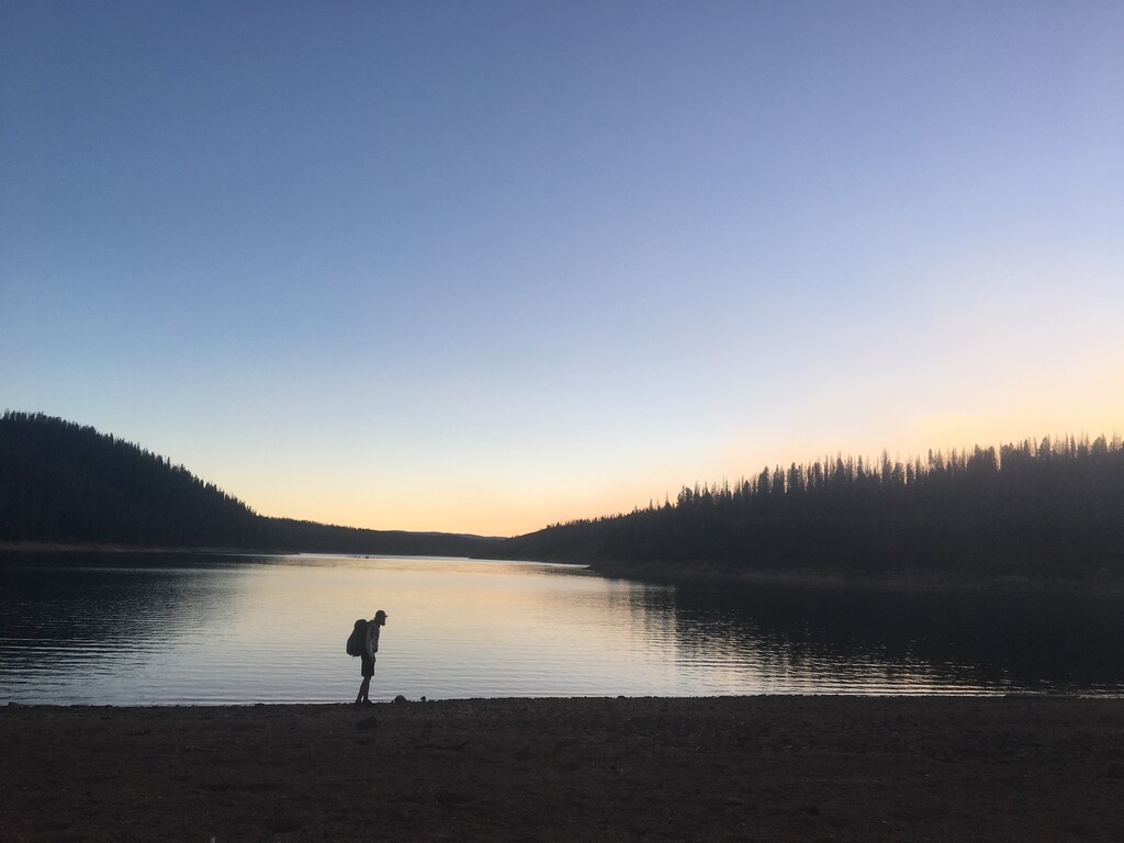
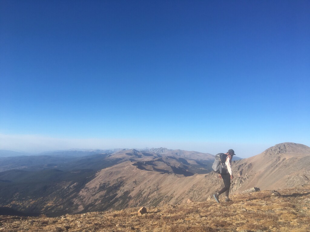
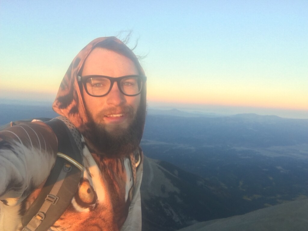
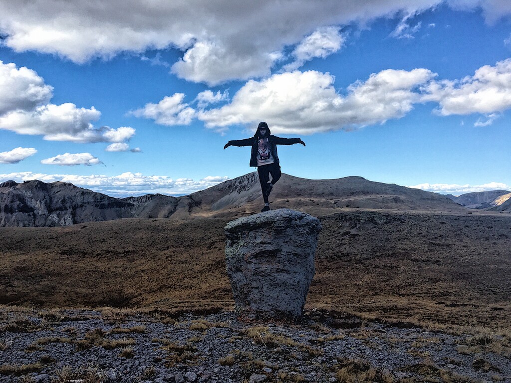
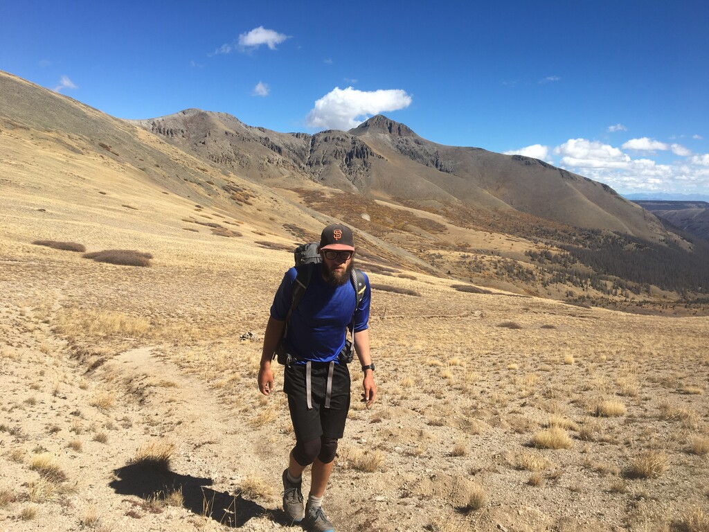
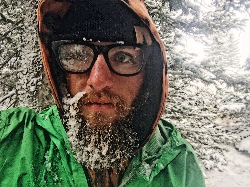
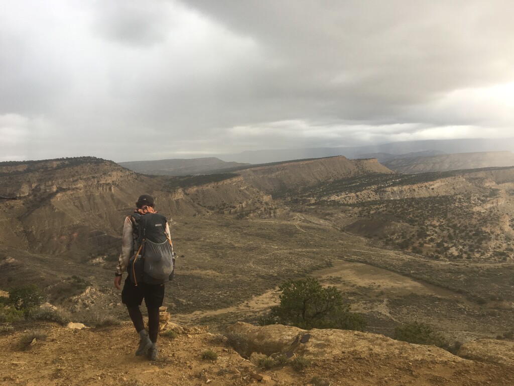
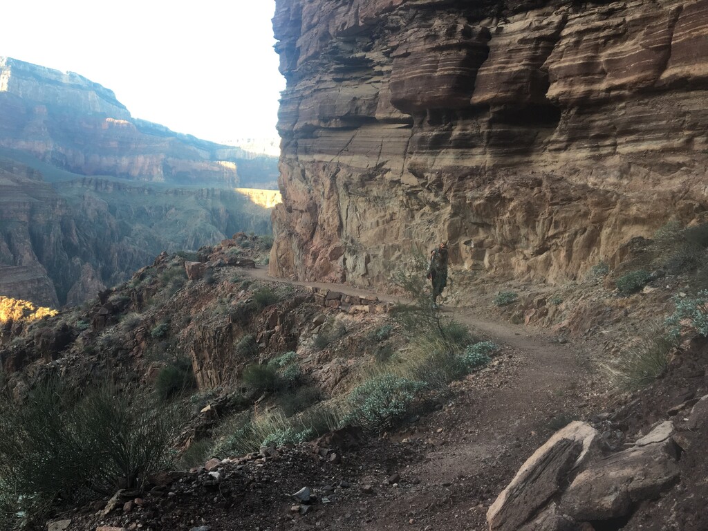
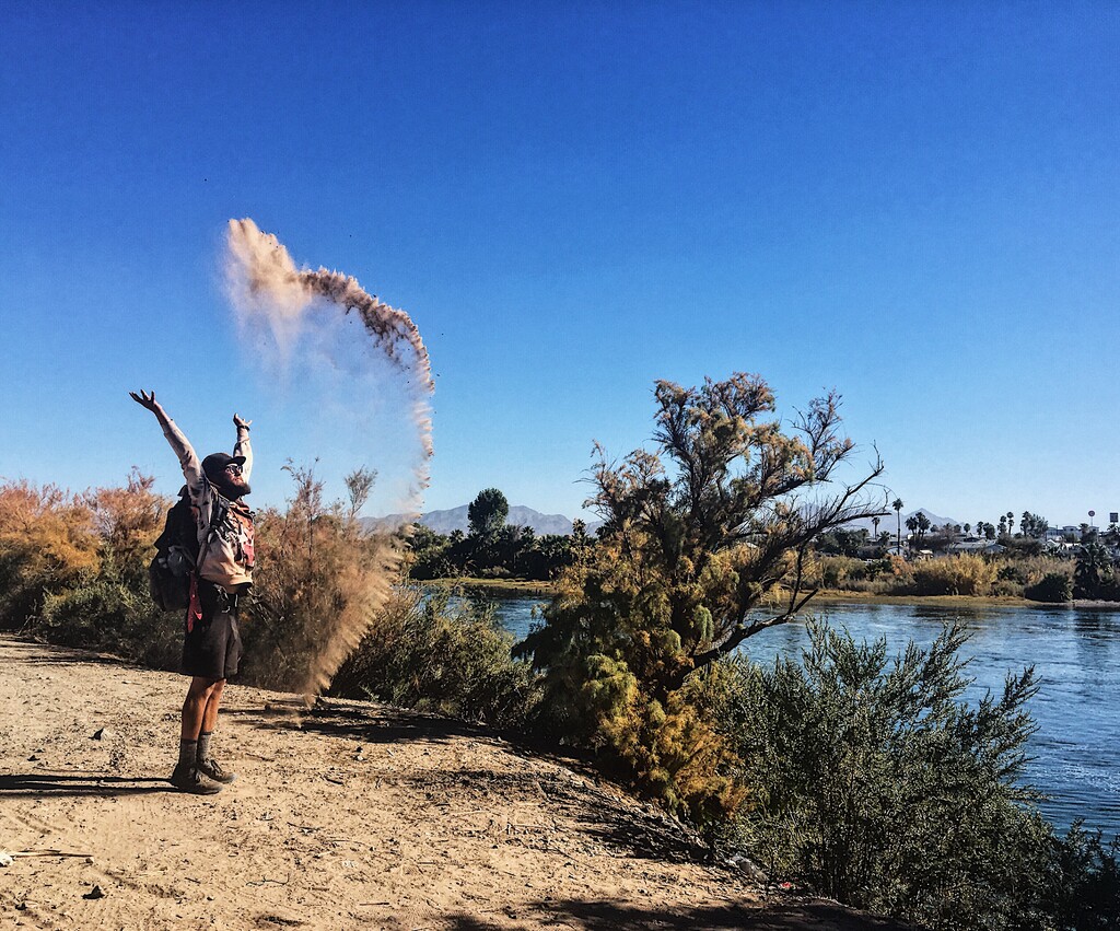
Niels Rabe hiked the GWL self-supported, counterclockwise in 222d5h from March 31 to November 8, 2021. Not an FKT, but completions of this epic route are rare enough that the trip certainly warrants recognition.
http://www.justagermanhiker.com
Niels writes:
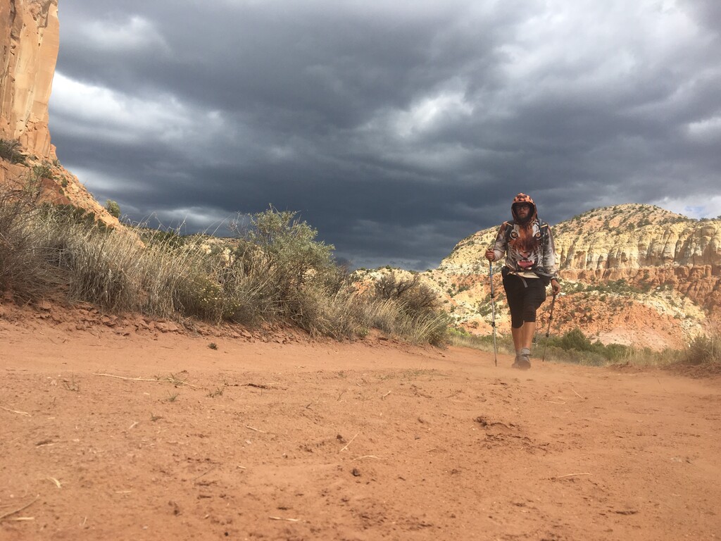
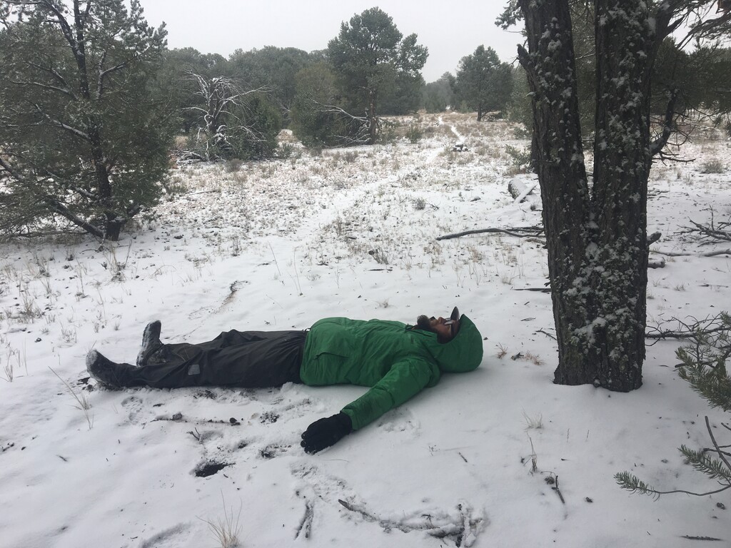
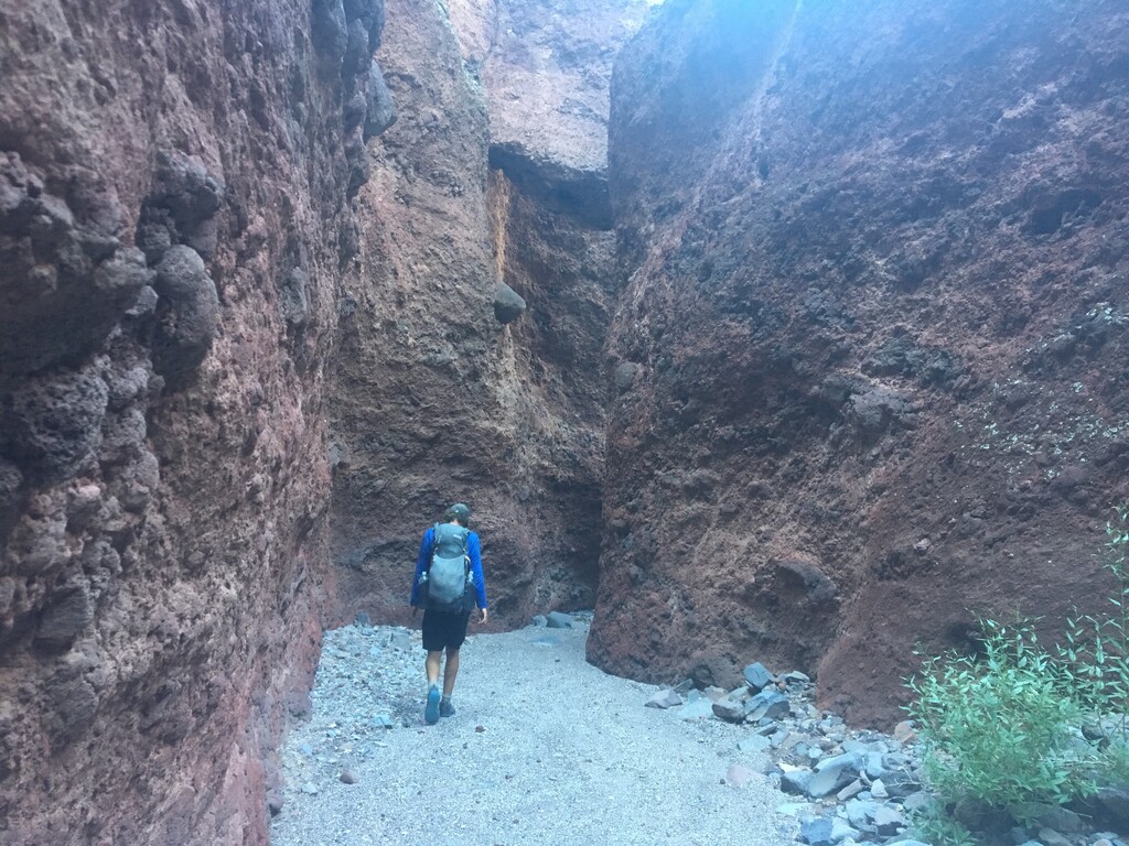
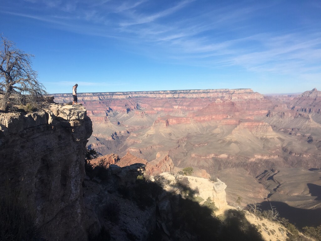
Starting in Flagstaff, Az by end of March, I followed the Arizona and Grand Enchantement Trail to the Continental Divide Trail. Entering Colorado in early may meant facing rough conditions in the Rocky Mountains and Wind River Range in Wyoming. Upon reaching Glacier National Park, Mt. severe smoke from fires in Washington and Oregon added another challenge, that remained present until mid August.
The total closure of all National Forests in California forced me to divert to the California Coastal Trail, which I followed south from Crescent City to Ft. Bragg. Upon hearing about the reopened forests, I hiked from Ft. Bragg via Wilits, Sacramento to Kennedy Meadows North, to enter the Sierra.
I followed the PCT south to Big Bear Lake, than turned east via Pioneertown, Joshua Tree N.P., Chiriaco Summit and Blythe back to Arizona.
From here I hiked north via Quartzsite, Bagdad and Paulden back to Flagstaff, Az.
I hitched about 3-4% of the route, due to fire closures, evacuations, exhaustion or a~somewhat voluntary / unvoluntary ride in a police car.