The Grizzly route traverses Glacier National Park on some of its northern most trails. The route was named after one the trails most common travelers, the mighty grizzly bear. Keep your eyes up if you want to catch a glimpse of this mighty beast, but don't forget to look down if you want to avoid stepping in the very plentiful grizzly droppings. The trail traverses some of the most beautiful, wild, and difficult to reach trails in all of Glacier National Park. Expect the unexpected!
This route can be run in either direction. Described below is the east to west route.
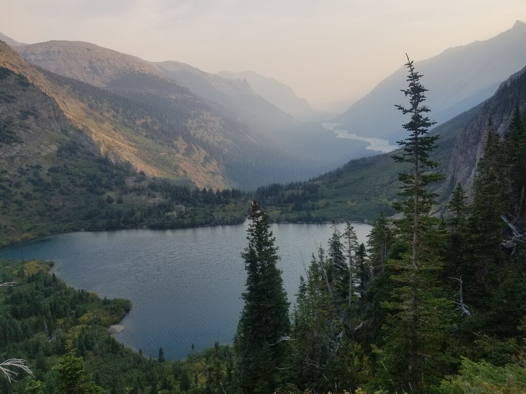
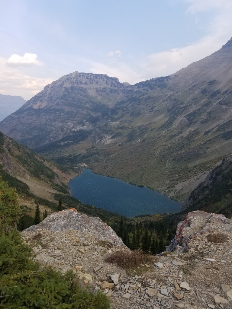
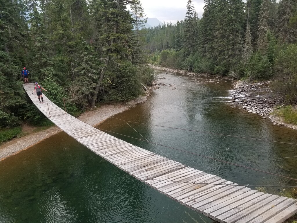
Starting at the Chief Mountain Trailhead, located on the Canadian border, the trail begins by descending to cross the beautiful Belly River. From there it travels past Cosley Lake and Glenns Lake and climbs to the high point of this route, Stoney Indian Pass, which is at mile 17. From here the trail descends to the valley and then turns north towards Goat Haunt ranger station. Goat Haunt sits at the southernmost tip of Upper Waterton Lake. This large lake spans across the Canadian border. From here the trail heads west again past Lake Janet and Lake Frances and climbs to Brown Pass. From Brown Pass the trail descends very rapidly to the shoreline of Bowman Lake, the trail follows the edge of the lake for the final 7 miles ending at Bowman Lake Campground.