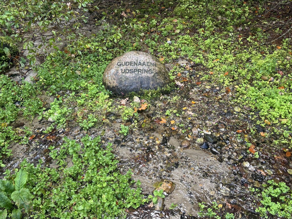
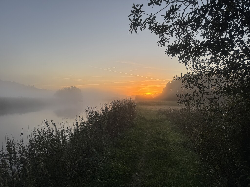
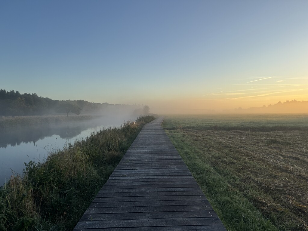
Gudenåstien is a 175 km point-to-point trail following the Gudenå River from its source at Tinnet Krat in central Jutland to Randers Fjord. The Gudenå is Denmark's longest river, and the trail crosses eight municipalities and some of the most varied and beautiful landscapes in eastern Jutland.
The route was officially completed and opened as a continuous trail in March 2026. It links a mixture of existing trails and newly established sections, creating a single marked route from source to fjord.
The trail is generally easy to moderate from a technical perspective, with relatively little sustained climbing. The main challenge is the changing surface and, particularly, water. Sections of the route can become muddy or flooded after periods of heavy rain or when river levels are high. The most flood-prone areas are Uldum Kær in the south and parts of the historic Trækstien north of Silkeborg.
Sections:
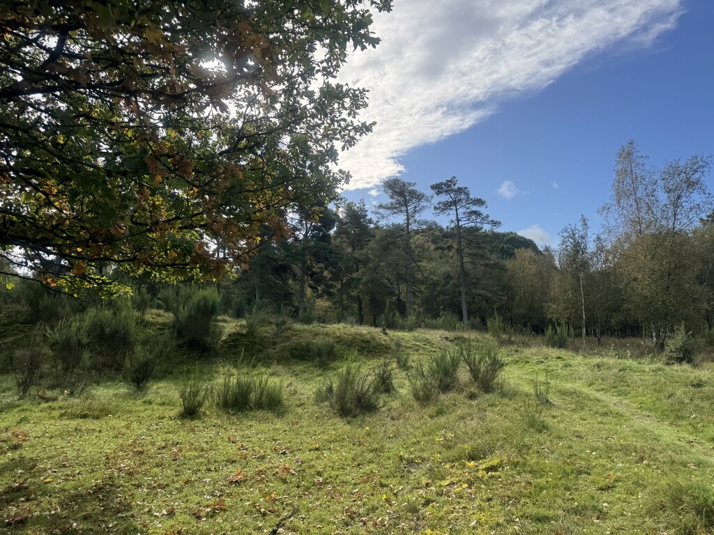
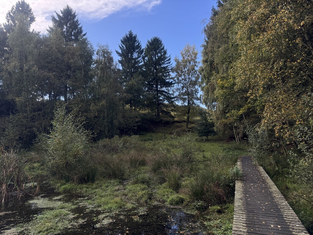
- Tinnet Krat – Tørring: Source of the Gudenå. Mostly natural trail, grass and boardwalk through wetland.
- Tørring – Rask Mølle: Flat agricultural landscape with gravel, paved roads and wetland trails.
- Rask Mølle – Voervadsbro: Mixed farmland, quiet roads, gravel and increasingly wooded terrain.
- Voervadsbro – Klostermølle: Short, scenic section through the Gudenå valley, with forest and rolling terrain.
- Klostermølle – Ry: Forest trails, gravel tracks and lakes, with some of the route's more noticeable climbs.
- Ry – Silkeborg: Classic Lake District terrain around the lakes and forests, including the Himmelbjerget area.
- Silkeborg – Bjerringbro: Follows the historic Trækstien along the river. Flat but often wet, with grass, dirt, boardwalks and gravel.
- Bjerringbro – Randers Fjord: Broad river valley with meadows, wetlands, forest and mixed trail, gravel and paved sections, finishing at Randers Fjord.
Overall: A varied 175 km point-to-point route, changing from open agricultural landscapes in the south, through the hilly forests and lakes around Silkeborg, to the flat and often wet river valley north of Silkeborg.