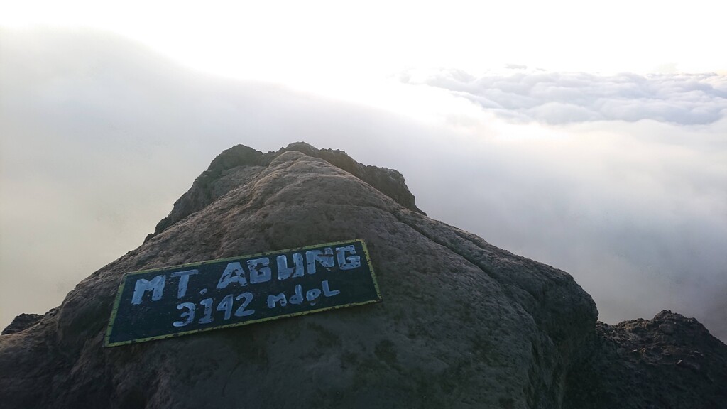
Route: Gunung Agung sea2summit2sea

Submitted by Petter Restorp on Mon, 04/25/2022 - 01:40am
Location
Bali, ID
Distance
47.5 km
Vertical Gain
3,193 m
Description

Gunung Agung, or Mount Agung, is an active volcano and the highest point on Bali. It dominates the surrounding area, influencing the climate, especially rainfall patterns. From a distance, the mountain appears to be perfectly conical. From the peak of the mountain, it is possible to see the peak of Mount Rinjani on the nearby island of Lombok, to the east, although both mountains are frequently covered in clouds. Agung is a stratovolcano, with a large and deep crater. Its most recent eruptions occurred from 2017–2019.

This route takes the shortest way from the sea to the summit and back. The starting point is Pantai Buitan beach near Manggis.

The first part follows rural roads to the temple Pasar Agung. From there a steep trail continues to the summit. The trailhead is on the left side of the temple and starts as a jungle trail before navigating through the rocky terrain above. It is sometimes faint and can be difficult to find but white paint markings show the way.

GPS Track
Images