Location
Germany
Distance
24.4 km
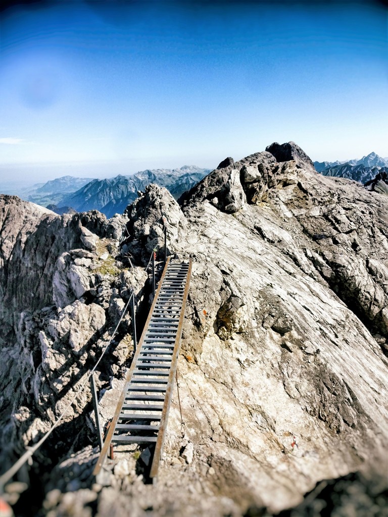
Description
GPS Track
Heilbronner_Weg.gpx1.78 MB
FKTs
Male
| Nils Riegel | 3h 25m 51s | ||||
| Florian Felch | 3h 42m 29s |
Male
| Heinrich Nowak | 9h 47m 7s |
Images