Location
Arizona,
US
Distance
54.7 mi
Vertical Gain
8,400 ft
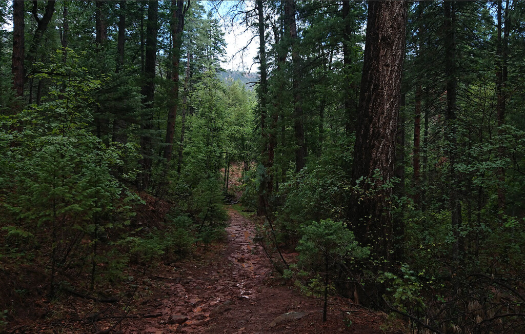
Description
GPS Track
40165_Highline_T.gpx659.08 KB
FKTs
Male
| Dave Mackey | 7h 51m 7s |
| Patrick Kavanagh, Ross Kiewiet | 13h 36m 54s | ||||
| Joshua Locke | 18h 31m 12s |
Images