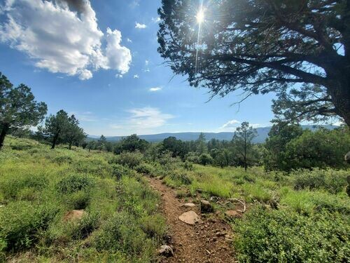
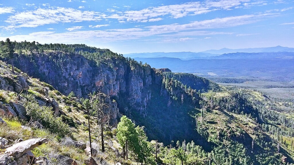
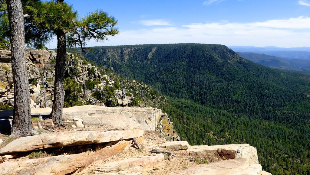
Combining two great routes into one loop provides a challenging day out! The Highline National Recreational Trail is a 55 mile one way trail that follows along below the Mogollon Rim 1.5 hours from Phoenix. The main trailhead leaves out of Pine, AZ and follows the rim West to East. This proposed loop adds the upper Mogollon Rim along the FR 300 and the General Crook Trail. The total mileage of the loop would be around 108 miles with an elevation gain around 19,150'. The proposed start would be the Mogollon Rim Visitor Center on the eastern most part of the loop and continue clockwise, making Pine, AZ around the 1/2 way point. This loop offers incredible terrain, views and nature while still remaining accessible to Phoenix and other towns in the area. The added rim road allows for a quick pace and fast times could be produced on the entire loop. The loop also allows for unsupported and self-supported efforts (athletes can get back to their starting points) while supported attempts still have plenty of crew access points.