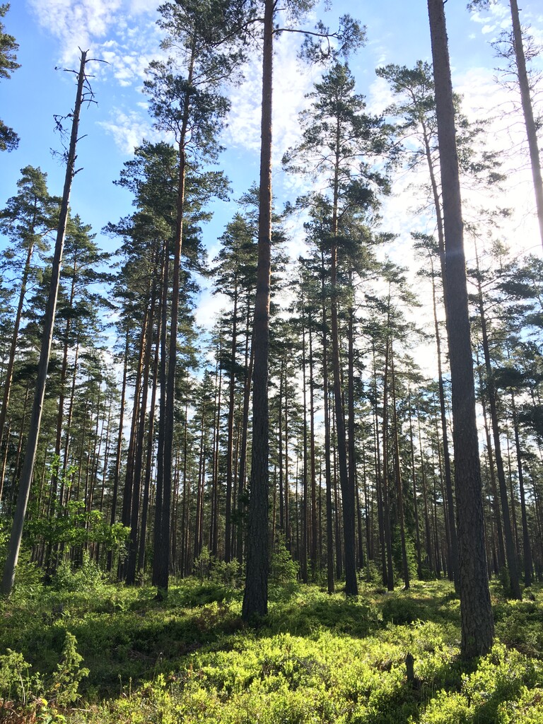
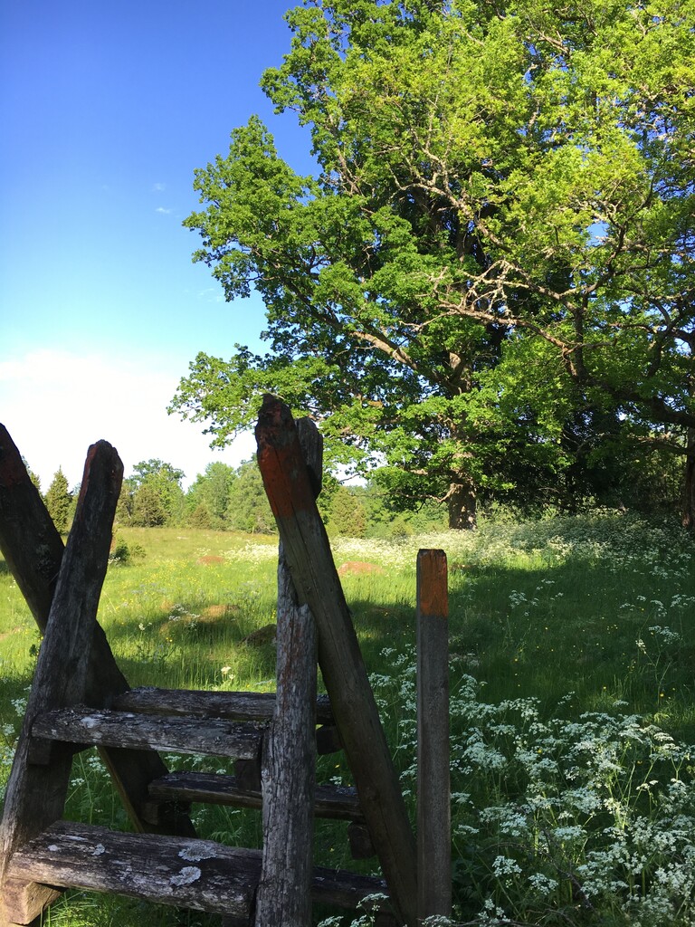
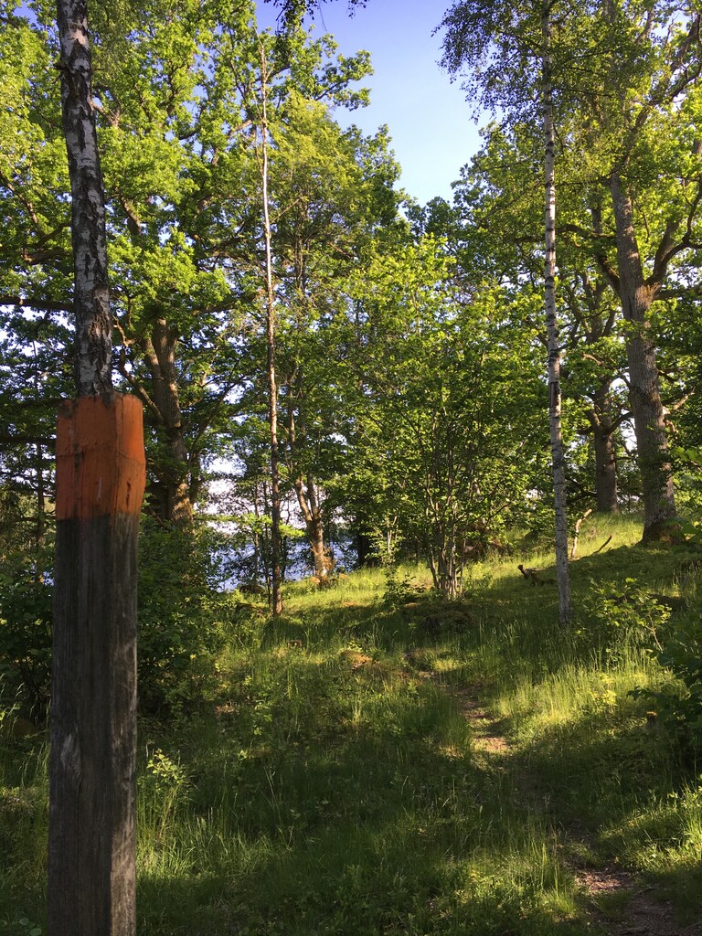
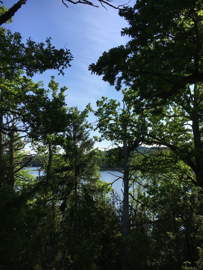
Route: Höglandsleden (Sweden)

Submitted by Molino on Sat, 06/13/2020 - 08:21am
Location
Sweden
Distance
26.94 km
Vertical Gain
235 m
Description

Höglandsleden consists of several connected trails which are divided into 6 Stages ranging from 10 to 31 km.

Maps:  https://www.visiteksjo.se/artikelarkiv/upplev/vandrapahoglandsleden.5.24715d781624ceb1c104aeed.html

Höglandsleden: Stage 1

The first stage of Höglandsleden. The route starts at Lövhult in Nässjö by the chapel, and runs east towards Eksjö, and finishes in the center of old town, Eksjö. The route measures about 27 km and is mostly trail through forest, on gravel road between small farms and through pasture fields. The route follows markings in orange, which are painted on threes, rocks or poles. There are beautiful views over the landscape of Småland Along the trail. After about 5-6 km there is a fresh water source, called Svartåns källa, where it is possible to fill up water.

Maps over the route, and the complete Höglandsleden can be found here: Smålandsleden/Höglandsleden

Höglandsleden: Stage 2
The second stage of Höglandsleden is a beautiful point-to-point route with lots of variation which runs between the central parts of Eksjö and Klinten.

The route starts at the heart of Eksjö, the old town from 17th and 18th century. The second stage runs through the east part of centrum on gravel roads and after just 1 km you reach the outskirt of the city and the trails through the sprune and pine forests. The route measures about 13 km and gets more technical the longer it gets. It is mostly trail through forest, on gravel roads between small farms and through pasture fields. These are the typical landscapes of Höglandet, Småland. It follows markings in orange, which are painted on trees, rocks or poles. It is very easy to find, since it is most single track. This makes it possible to go really fast!

The route ends at a crossing at the lake Försjön, and the nature reserve called Klinten which is a mountain top from which there are beautiful views over the landscape.
Maps over the route, and the complete Höglandsleden can be found here: Smålandsleden/Höglandsleden

Höglandsleden: Stage 3
31.82 km, Vertical Gain 636 m

Description: Continued the FKTs from Lövhult, Eksjö and klinten to ingaborg. Hilly, floating rivers, nature reserves, nice trails and beautiful nature. really hard weather during my fkt- ended wet, muddy and hungry.  no people at all at this route only me nature and animals


Images