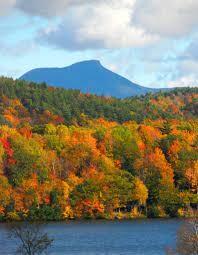
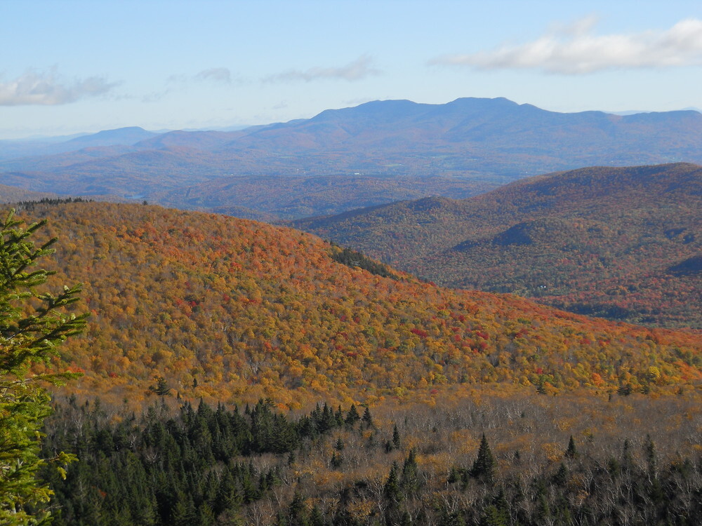
Location
Vermont,
US
Distance
19.3 mi
Vertical Gain
5,394 ft
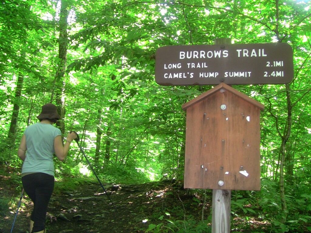
Description
GPS Track
Honey Hump.gpx79.82 KB
Honey_Hump_Forest CT_.gpx1.12 MB
FKTs
Male
Female
| Mike Dacey | 4h 57m 6s |
| Ella Xu | 7h 24m 14s |
Male
| Jacob Brady | 3h 40m 47s | ||||
| Jake Henricks | 4h 8m 1s |
Images
Comments
Variation added 6/18/2023:
Adds Forrest City/LTN for Camel's Hump Summit
Similar distance but increases the vert by ~800 ft
More challenging and technical
I agree with the Forest City/LT variation being preferable due to a longer, more difficult ascent and no out-and-back section.