The Mount Jefferson Wilderness is a long wilderness area stretching along almost 30 miles of the cascade crest, and encompassing a large portion of the state’s second-highest peak, 10,493 foot Mount Jefferson. Most of this area has burned in the last 25 years, and is in various stages of returning to forest, but one particular valley immediately west of Mount Jefferson hasn’t seen fire in hundreds of years. Because of this, a lush forest full of bouncing streams blankets the valley. This loop takes in all of this, while also providing wonderful views of Mount Jefferson, seen from an uncommonly close perspective.
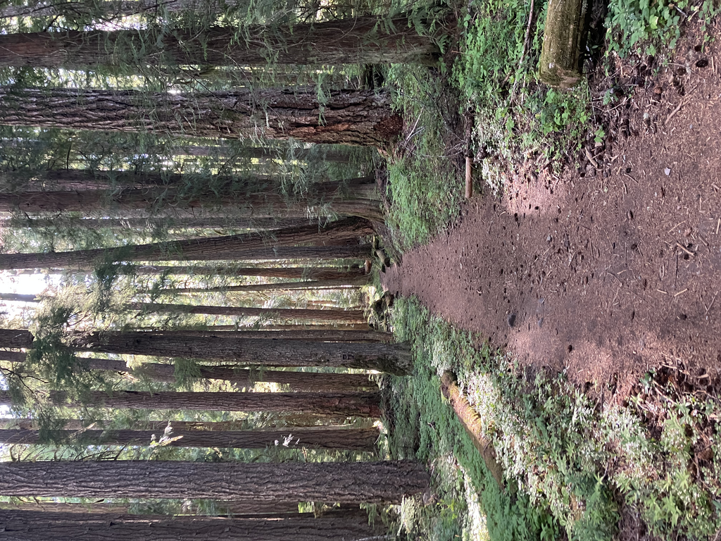
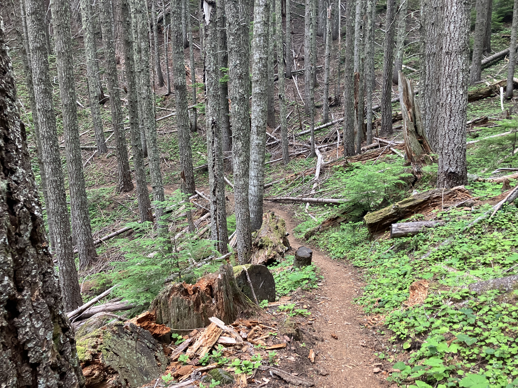
It starts off with a 2.5 mile stroll up to the Hunts Creek Trail. There’s a lot of rocks and roots along the way, but it’s easy enough going. The forest is an old one, but even more interesting is the chaos of rock and mud that starts about halfway to the junction, from when the Milk Creek Glacier let loose a lahar around 25 years ago and flooded the valley in 6 feet of debris. The Hunts Creek Trail passes by numerous springs and streams until reaching Hunts Creek, a wild little river which would make a tricky ford without the help of the large log bridge. Shortly beyond the creek the trail starts climbing in earnest. From here on, you will gain most of the elevation gain of the trail in order to reach the PCT. It’s not too steep, and the scenery is a very green spruce and fir forest for most of the way. A few seasonal streams cross the trail, and at 5.3 miles there’s a short spur over to Hunts Creek, which will have a heavy flow even when most other creeks are dry. I believe that there is also a waterfall there.
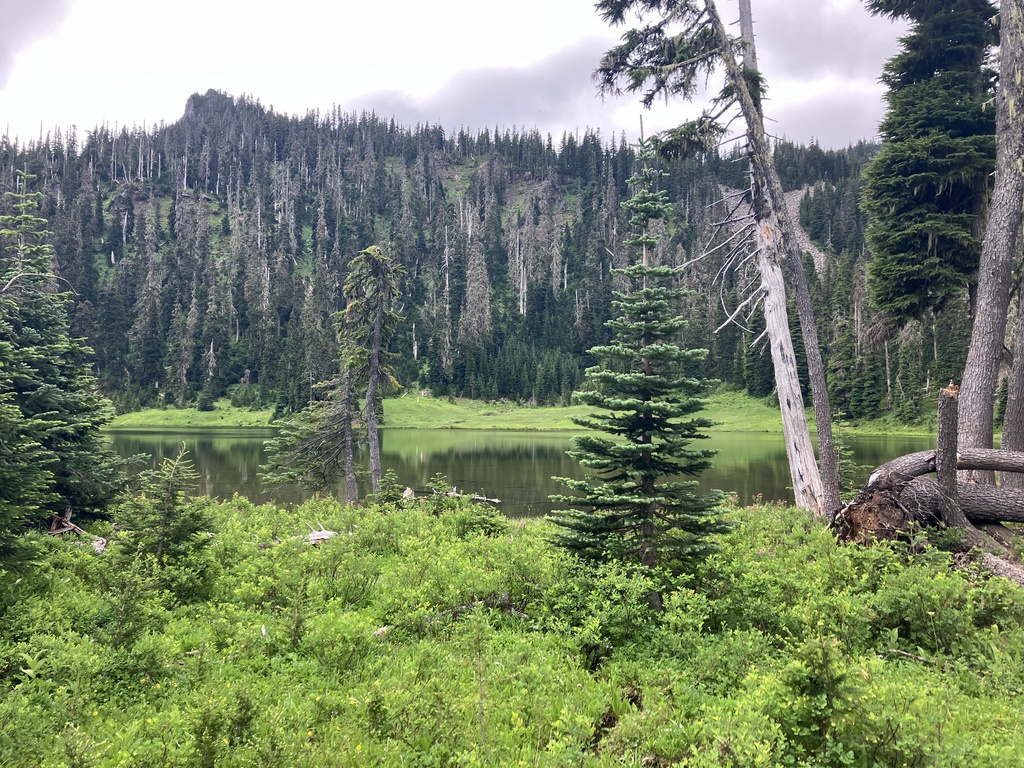
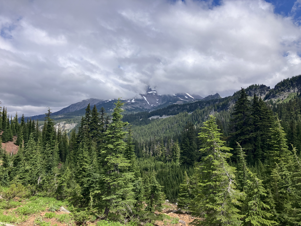
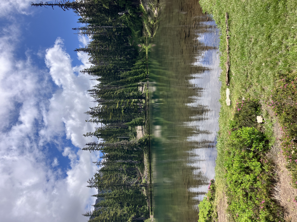
Take a left at a junction with the Hunts Cove Trail, and then enter a little wonderland of wet meadows, wildflowers, springs and lakes. Hunts Cove really feels aptly named. It’s not a particularly grand and majestic place like Jefferson Park (a popular location about 7 miles north of here), and it has a cozy, tucked away kind of feel to it. It’s a mix of forest and meadow, so although you often have views, you’re usually just moving in between little meadows. Cross Hank Lake’s slow-moving outlet, and continue straight along the trail to some campsites where you can find a bootpath leading out along the lake’s east side. Take that bootpath up through the woods above Hanks Lake, and it leads to the PCT. There’s a few very pretty little meadows in here, and I recommend stopping to refill water from a little stream at 6.4 miles at the end of a slightly larger meadow. This has the best water you’re likely to find on this loop, and it’s worth maybe getting a few mosquito bites. You’ll reach the Hunts Creek Trail again about 100 feet before the PCT, and then start traveling north. The PCT makes for excellent running, and from here on you’re more or less done with the climbing. There’s a little bit to Shale Lake, but it’s all smooth sailing. The views through here are incredible. Grizzly Peak seems to have been named for it’s grizzled appearance instead of any large bears, since it’s ridge boasts a number of craggy pinnacles. To the north is Mount Jefferson, it’s rocky visage beckoning you onwards. Shale Lake has a very nice view of the mountain, and if you’re going to stop to get water here, Shale Lake is much nicer than Mudhole or Coyote, and has clean water later in the season. The first half of the descent is often good for running, with relatively few distracting views, generally with wonderfully graded and smooth tread. As the descent continues, there are a few rockfields, and the trees close in. At around 11.5 miles, maybe 11 miles, the conditions become absolutely perfect for running. A consistently moderate grade, smooth loamy surface, and full shade. At 13.7 miles, take a hard left from the PCT towards Pamelia Lake, and then continue to jog 0.6 miles to the junction which you reached at mile 2.5. Take a right, and then it’s a relatively short walk or jog back out.
This loop can be done any time between early July (theoretically earlier, but the snow would make things sketchy on the PCT south of Shale Lake in icy conditions) and October. The best time is probably late July or early August, when there’s plenty of water and the mosquitoes might not be quite as bad. I would recommend doing this route counterclockwise, but here are the pros and cons. The climb up Hunts Creek is steeper than the PCT, so if that works better for you as a climb then this would be a good option. There is also more water on the climb, which makes it easier to stop to filter. Running down through some of the brush and over the odd log on the Hunts Creek Trail (they can be pretty big too) would also disrupt your stride and could make it harder to get into the flow of a descent. The climb is also arguably a more beautiful part of the loop than the descent, which means you’d be going slower and more capable of appreciating it climbing. If you were to climb the PCT, then you’d also have to make sure you have enough water since there isn’t any on-trail water between the braided channels around 1.5 miles and Coyote Lake, about 6.5 miles further and at the top of a climb. Either way you travel this route, it’s going to be an enjoyable day spent in old growth forests and subalpine meadows.
https://www.alltrails.com/trail/us/oregon/pamelia-lake-and-hunts-cove-loop
Comments
I forgot to mention this in the description, but you are required to have a Central Cascades permit at this trailhead, details are in the all trails route that I linked to. If there is evidence that you did not get a permit to do this hike, then your time will be disqualified.