The Ice Age Trail runs through Washington County, with access points on the north and south border of the county.
The northern border of Washington County on the IAT is met just 0.39 miles south of the intersection of Kettle Moraine Dr, so it is easiest to use Kettle Moraine Dr at the
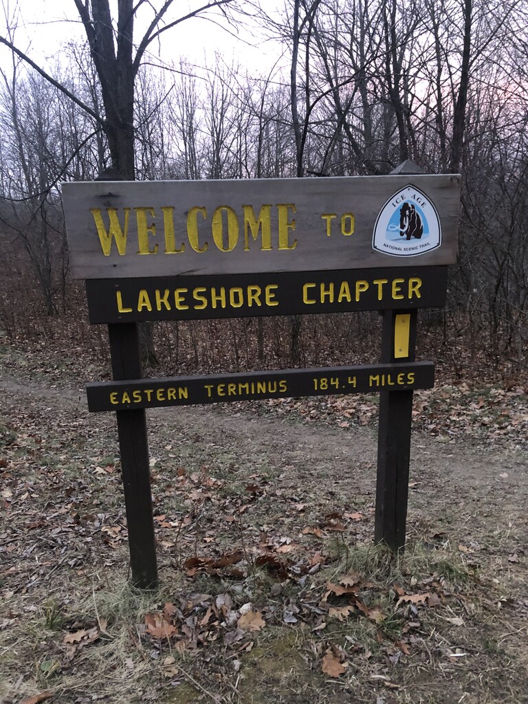
"Welcome to Lakeshore Chapter Eastern Terminus 184.4 Miles" sign as the northern terminus of the county.
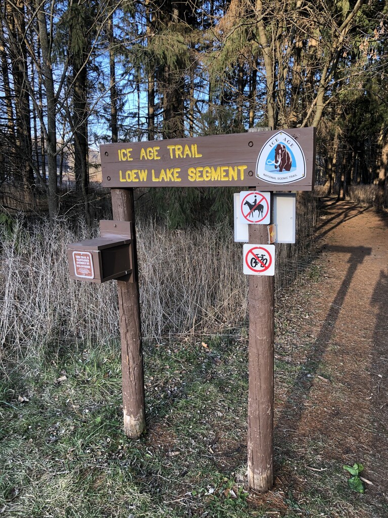
The southern border of Washington County on the IAT is at the intersection of County Line Rd (Q) and Kettle Moraine Scenic Drive (K), on the south side of the IAT Loew Lake Segment.
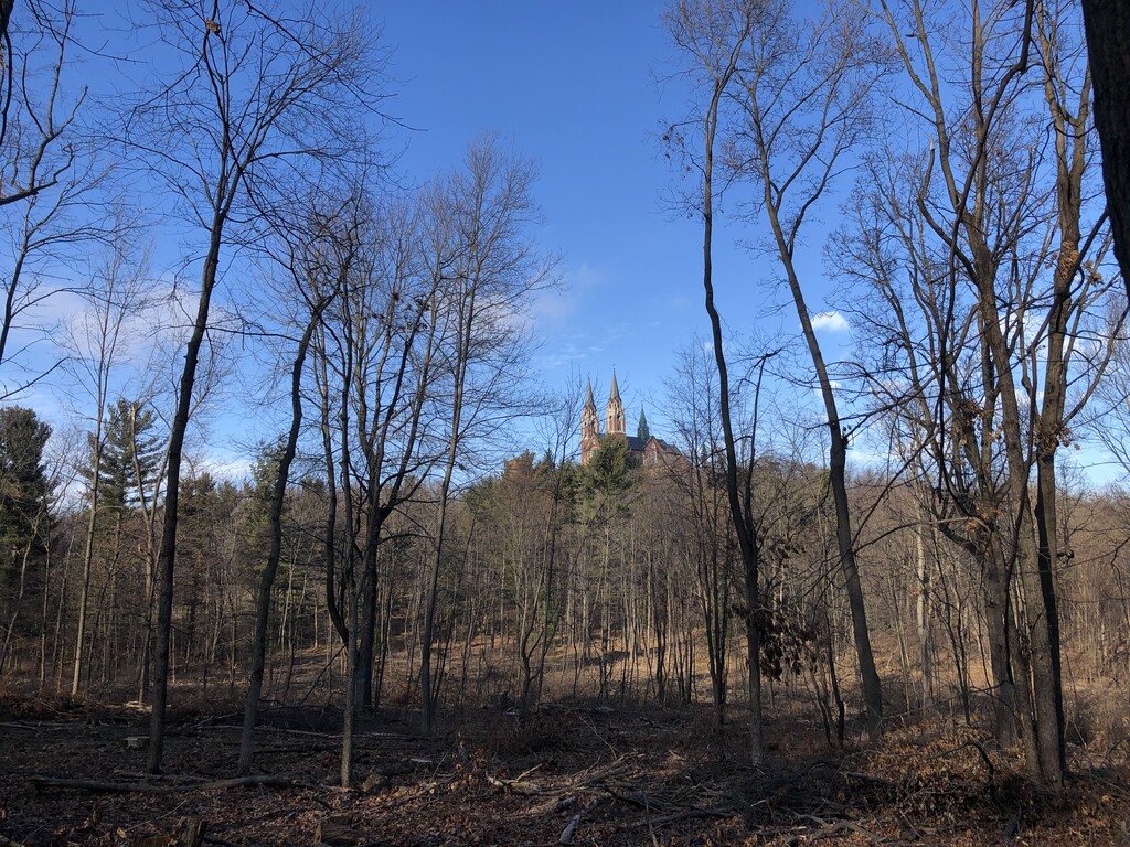
Throughout the route across Washington County you will hit the Ice Age Trail Milwaukee River Segment, Kewaskum Segment, West Bend Segment, Cedar Lakes Segment, Slinger Segment, Pike Lake Segment, Holy Hill Segment, and Loew Lake Segment.
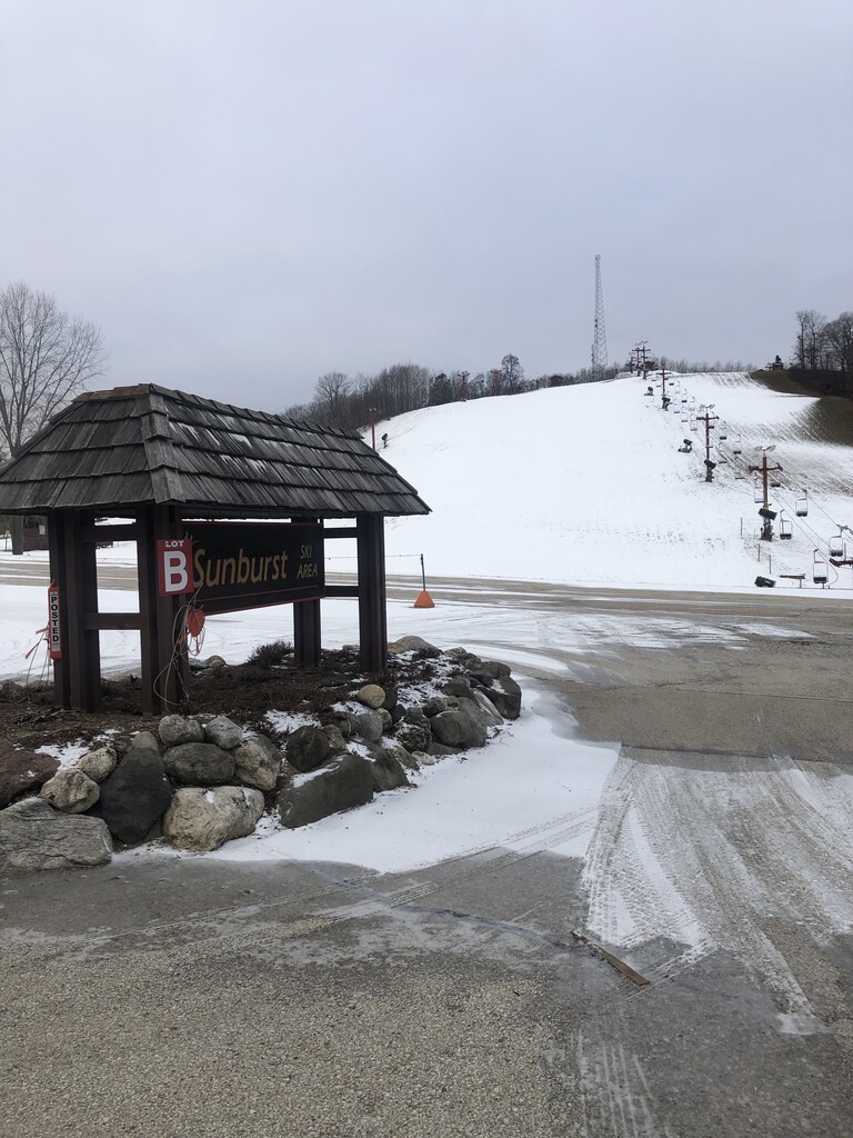
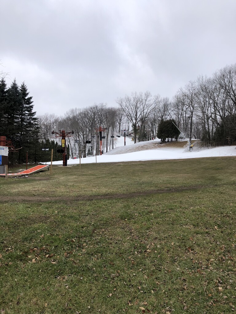
This route is 70% trail, 30% road. Over the course of this run you'll experience hills, flats, fields, forest, single track, double track, roads, two ski hills, lakes, Holy Hill, the town of Slinger... All while traveling on the Ice Age Trail!