Location
Maine,
US
Distance
25.5 mi
Vertical Gain
2,470 ft
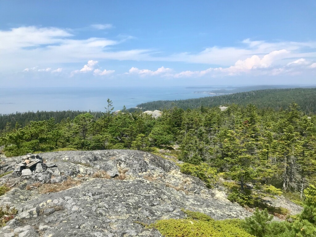
Description
GPS Track
FKTs
Female
Mixed-gender team
Male
| Shannon Corliss | 5h 53m 26s |
| Shannon Corliss, Nathan Rutenbeck | 5h 59m 56s |
| Derek Ehrnschwender | 6h 38m 52s |
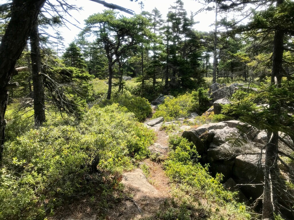
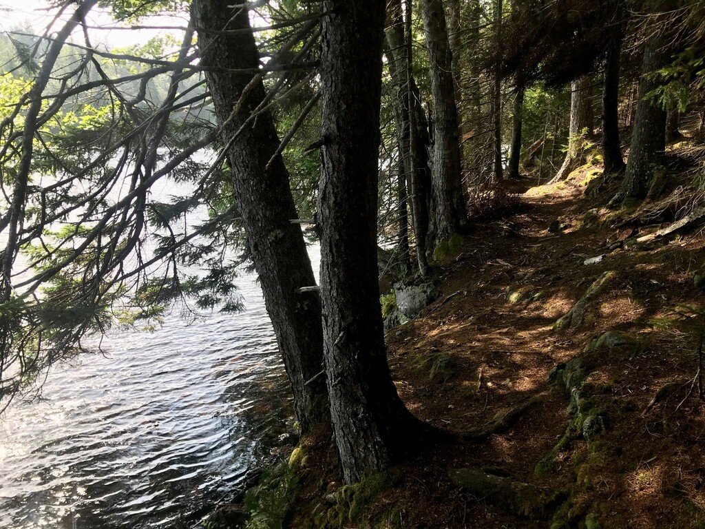
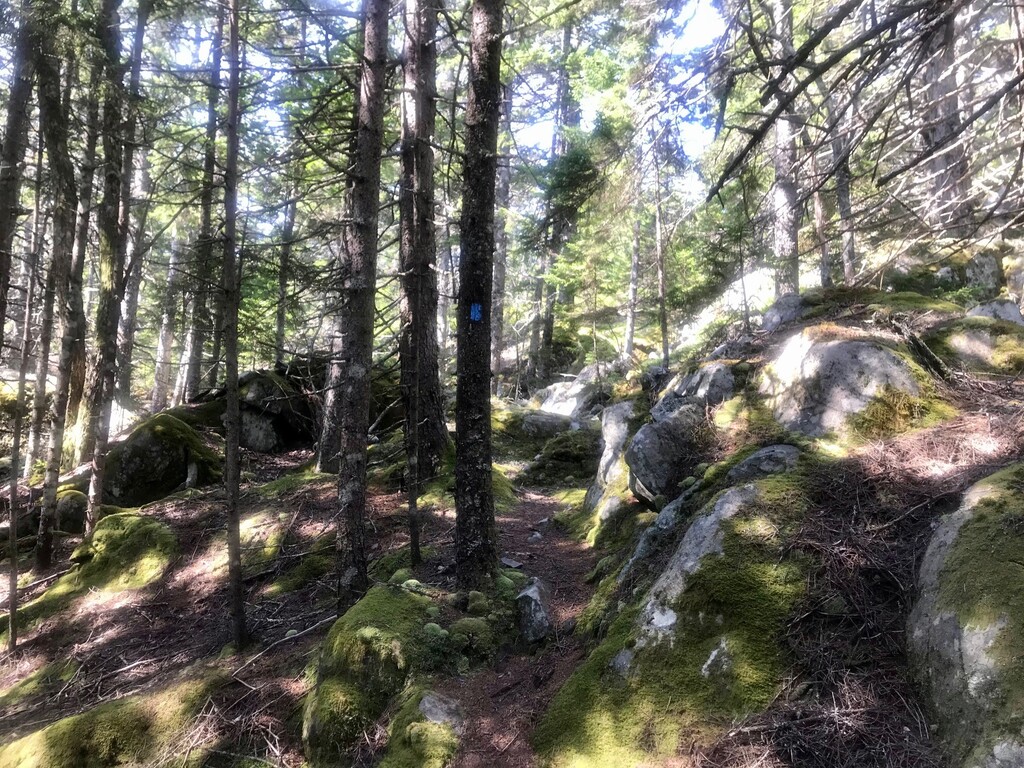
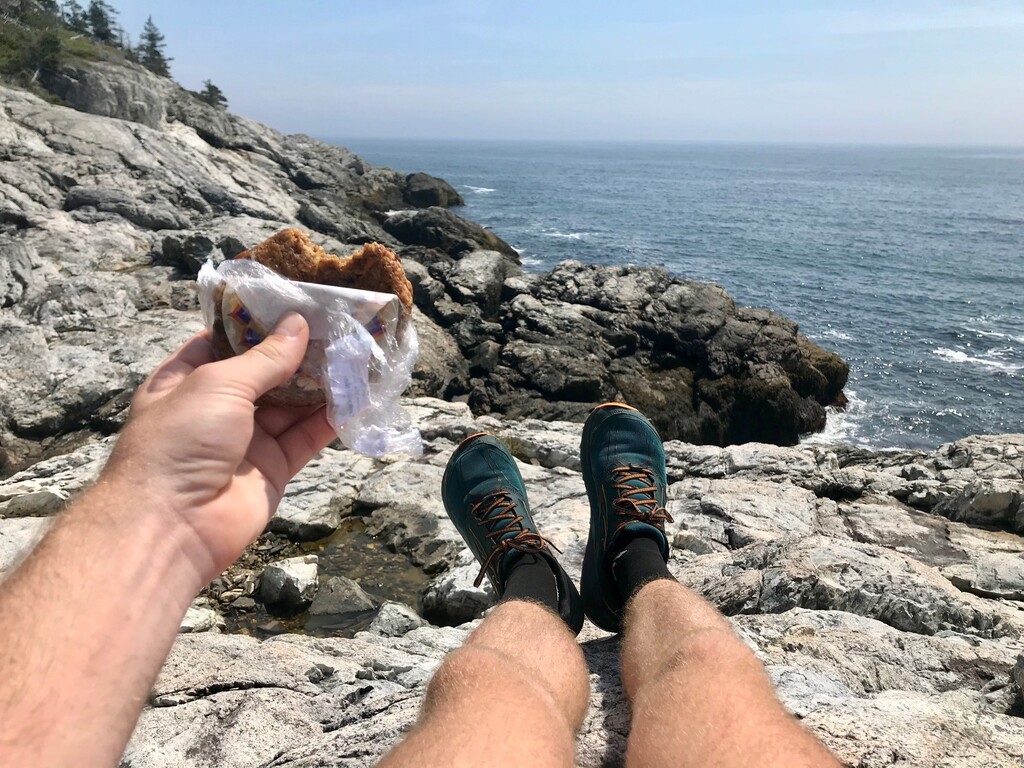
Images