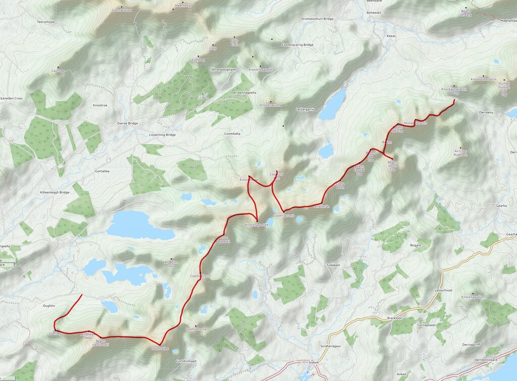
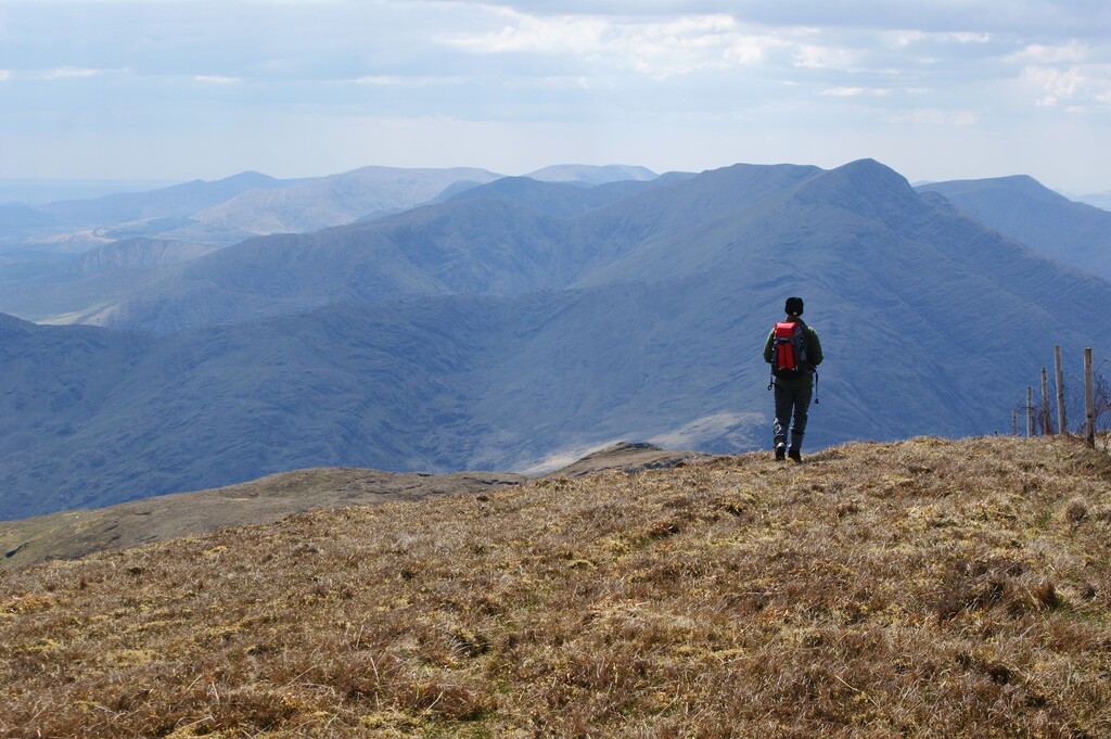
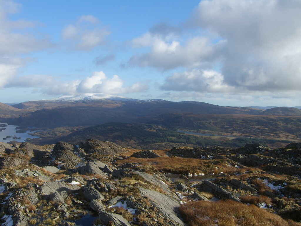
The Iveragh Traverse follows the spine of the Iveragh peninsula in County Kerry, from Knockbeg mountain near Waterville, to Crohane Mountain 10 km to the east of Killarney.
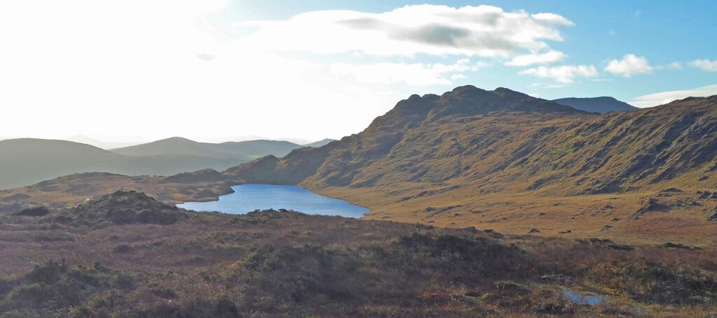
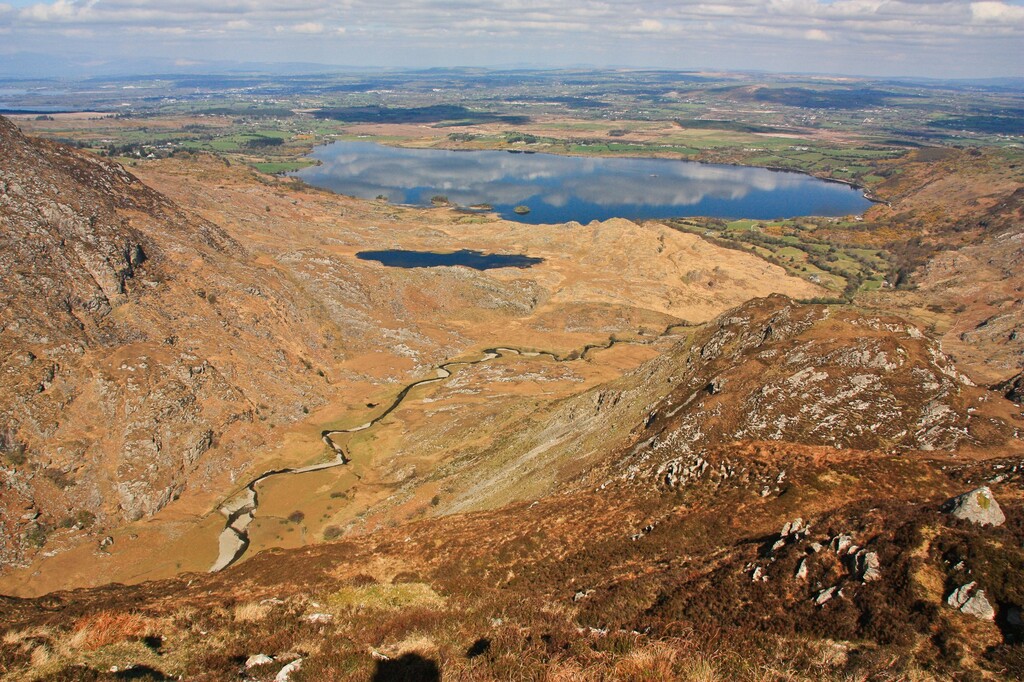
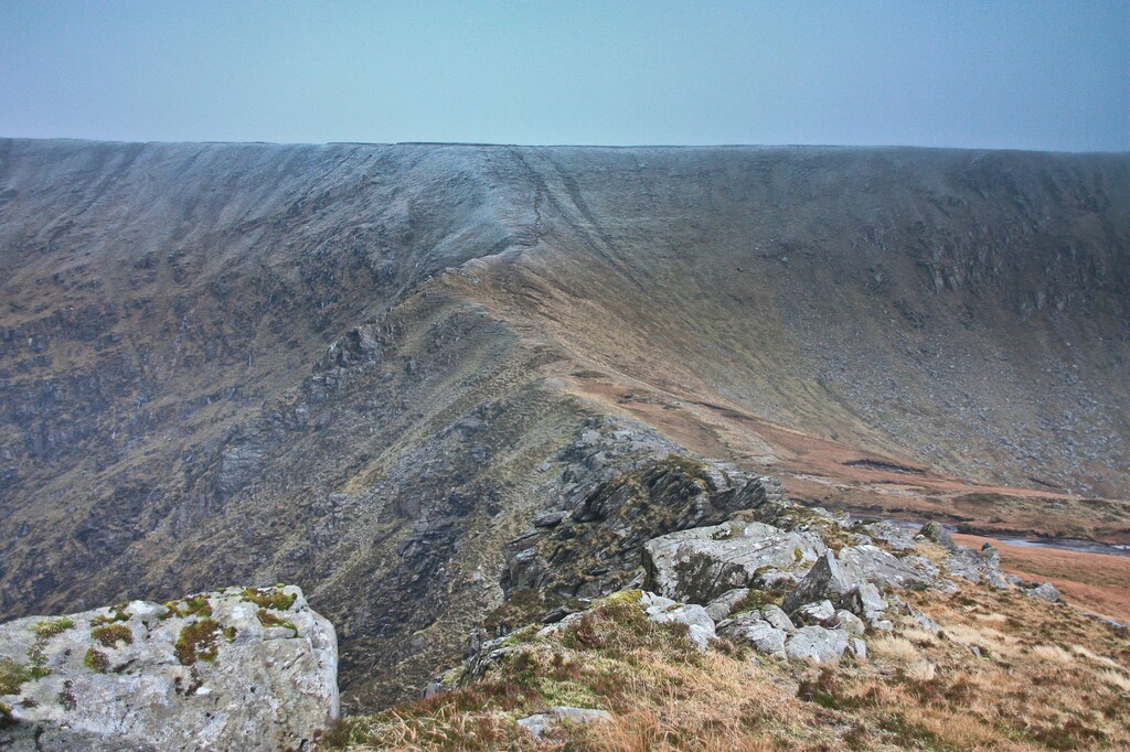
85km and 7500m overall ascent across rock bog and heather cover boulder fields with no paths or trails. 44 summits have to be visited in a landscape described in Mountainview.ie as "astonishingly rough", taking on what Paddy Dillon called "The longest hardest high level route in Ireland".
1. Can be run in either direction 2. GPS allowed 3. Support allowed where route meets tarred road at Ballaghbeama, Black Valley and Molls Gap, and one other point, Windy Gap or Mangerton 4. No assistance allowed when running between designated support points ie. other runners may join but must not pace or navigate 5. Tracker or some record needed to verify 6. Must give advance notice on the Trail Runner page 7. Must be completed within 24 hours 8. All 44 summits must be crossed for run to be counted, route between is a matter for runners
https://www.facebook.com/groups/1328420757249671
Anyone with questions can contact the administrators of the Cork and Kerry trail running page and it's here that any one attempting the Traverse can post their intent..
Full descriptions of each mountain are available on mountainviews.ie
Video: https://www.relive.cc/view/vYvEjrLVRwO
THE IVERAGH TRAVERSE - ROUTE AND SUMMITS
Thanks to Peter Walker who put the following list together...
All hills referenced below are on one or more of the following MountainViews lists:
Vandeleur-Lynams
Arderins
Arderin Begs
Carns
Numbered hills had their actual summit visited by the first completers of the Iveragh Traverse. Those without numbers have summits that were passed close to but not visited.
=====
Start
=====
1. Glanbeg
2. An Bheann Mhór
3. Beann na Stiocairí
4. An Ghuala Ghorm (Coomcallee)
Sliabh na Seasca (mullach theas)
5. Sliabh na Seasca (Coomcathcun)
6. Cnoc Breasail
7. Cnoc na gCáinte (Knocknagantee)
8. An Cnoc Maol (Knockmoyle)
9. Coomura Mountain
10. Coomnacronia (Com na Cróine)
11. An Corrán (Finnararagh)
12. Sallagh South-West Top (Caora Bhán (mullach thiar theas))
13. Caora Bhán (Sallagh)
14. Beann Far SW Top (Bheann Bhán (mullach i gcéin thiar theas))
15. Beann SW Top (An Bheann Bhán (mullach thiar theas))
16. Beann South Top (An Bheann Bhán (mullach theas))
17. Beann (An Bheann Bhán)
18. Beann NE Top (An Bheann Bhán (mullach thoir thuaidh))
19. Mullaghanattin (Mullach an Aitinn)
20. Mullaghanattin East Top (Mullach an Aitinn (mullach thoir))
============
Ballaghbeama
============
21. Knockaunanattin West Top (Stumpa an Aitinn (mullach thiar))
22. Knockaunanattin (Stumpa an Aitinn)
23. Stumpa Dúloigh SW Top (Stumpa Dúloigh (mullach thiar theas))
24. Stumpa Dúloigh
25. Stumpa Dúloigh (Stumpa Dúloigh (mullach thoir theas))
====
Road
====
26. Knocklomena (Cnoc an Mheannáin)
27. Bascadh West Top (Bascadh (mullach thiar))
28. Bascadh
29. Cnoc na gCapall
30. Boughil (Buachaill Finnleithid)
31. Derrygarriff West Top (Doire Gharbh (mullach thiar))
=========
Molls Gap
=========
(Access issues prevent an ascent of Derrygarriff itself)
32. Peakeen Mountain Far NW Top (Péicín (mullach i gcéin thiar thuaidh))
33. Peakeen Mountain NW Top (Péicín (mullach thiar thuaidh))
34. Peakeen Mountain West Top (Péicín (mullach thiar))
35. Peakeen Mountain (Péicín)
36. Knockanaguish (Cnoc an Uaignis)
37. Knockbrack (Cnoc Breac)
38. Dromderalough (Drom idir Dhá Loch)
39. Dromderalough NE Top (Drom idir Dhá Loch (mullach thoir thuaidh))
40. Mangerton (An Mhangarta)
41. Mangerton North Top (An Mhangarta (mullach thuaidh))
42. Stoompa (Stumpa)
Stoompa East Top (Stumpa (mullach thoir))
Bennaunmore (An Beannán Mór)
43. Crohane SW Top (An Cruachán (Mullach Thiar Theas))
44. Crohane (An Cruachán)
======
Finish
======